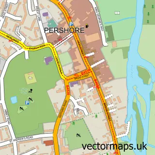
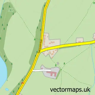
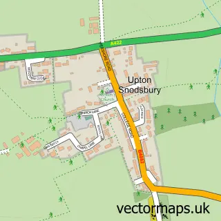
This Stoulton street map is a detailed vector street map covering a 750m x 750m area. Select a larger area to create and download your own vector street map of Stoulton.
The 750-metre map sample for Stoulton covers 90 mapped buildings and approximately 24.2 km of road detail, of which 6 named roads are named. The immediate area includes 1 MOT station, with 2 within 2 miles. To create a larger or custom map of Stoulton, the map builder lets you define your own coverage area and download editable SVG, PDF and PNG files.
Create a larger editable map of Stoulton
Choose any area you need and generate a high-quality vector map instantly. Perfect for print, planning, design, business and personal use.

This Stoulton street map in Worcestershire is available as downloadable SVG, PDF and PNG map files, or as a printed map for planning, business, display, education, local information and design work. You can also create a larger custom map area using the map selector.
What this Stoulton map sample shows
Stoulton lies within Stoulton Cp parish, part of Drakes Broughton ward in the Wychavon District local authority area. The postcode geography for this area includes the WR postcode area, the WR7 postcode district and the WR7 4 postcode sector. Residents fall under the Nhs Herefordshire And Worcestershire Integrated Care Board for NHS services.
Local features near Stoulton
Within 2 milesAmenities and services in and around Stoulton.
Administrative and postcode information for Stoulton
Stoulton lies within Stoulton Cp parish, part of Drakes Broughton ward in the Wychavon District local authority area. The postcode geography for this area includes the WR postcode area, the WR7 postcode district and the WR7 4 postcode sector. Residents fall under the Nhs Herefordshire And Worcestershire Integrated Care Board for NHS services.
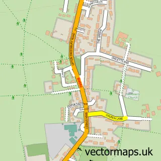
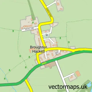
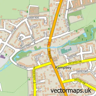
Nearby street map samples around Stoulton

More street maps in Worcestershire
750 metre map area coverage
Boundary, postcode and point of interest information for the 750m x 750m rectangle centred on this sample map.
Boundaries containing map centre
Constituency: Droitwich and Evesham Co Const
County: Worcestershire County
District: Wychavon District
Icb: NHS Herefordshire and Worcestershire ICB
Parish: Stoulton CP
Police Force: west mercia
Postcode District: WR7
Postcode Sector: WR7 4
Ward: Upton Snodsbury Ward
Nearby boundaries intersecting sample
No additional intersecting boundaries found.
Postcode coverage
POI category counts
Anglican Church: 1
Church Cathedral: 1
Dance School: 1
Landscaping: 1
Used Car Dealer: 1
Sample points of interest
- St. Edmund's in Stoulton
- Stoulton Community Hub
- Daysies Pole Fitness
- wh.Landscapes
- Jacksons Motor Group
Create a larger editable map of Stoulton
This sample shows only a 750 metre area. To create a larger map of Stoulton, use our map builder to choose your own coverage area, add titles and download editable SVG, PDF and PNG files.
Create a custom map of Stoulton