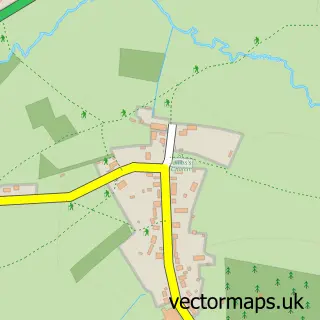
This Upton Snodsbury street map is a detailed vector street map covering a 750m x 750m area. Select a larger area to create and download your own vector street map of Upton Snodsbury.
The 750-metre map sample for Upton Snodsbury covers 163 mapped buildings and approximately 29.6 km of road detail, of which 8 named roads are named. The immediate area includes 1 school and 1 MOT station within 2 miles. The wider area around Upton Snodsbury features 1 tourism point of interest. To create a larger or custom map of Upton Snodsbury, the map builder lets you define your own coverage area and download editable SVG, PDF and PNG files.
Create a larger editable map of Upton Snodsbury
Choose any area you need and generate a high-quality vector map instantly. Perfect for print, planning, design, business and personal use.

This Upton Snodsbury street map in Worcestershire is available as downloadable SVG, PDF and PNG map files, or as a printed map for planning, business, display, education, local information and design work. You can also create a larger custom map area using the map selector.
What this Upton Snodsbury map sample shows
Upton Snodsbury lies within Upton Snodsbury Cp parish, part of Upton Snodsbury ward in the Wychavon District local authority area. The postcode geography for this area includes the WR postcode area, the WR7 postcode district and the WR7 4 postcode sector. Residents fall under the Nhs Herefordshire And Worcestershire Integrated Care Board for NHS services.
Local features near Upton Snodsbury
Within 2 milesAmenities and services in and around Upton Snodsbury.
Administrative and postcode information for Upton Snodsbury
The local authority covering Upton Snodsbury is Wychavon District, within the county of Worcestershire. The settlement lies within Upton Snodsbury ward and Upton Snodsbury Cp civil parish. The WR7 postcode district and WR7 4 postcode sector serve the immediate area. NHS provision in the area is delivered through Worcestershire Acute Hospitals Nhs Trust.
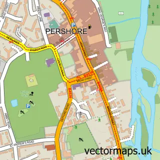
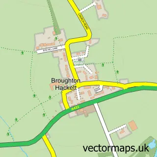
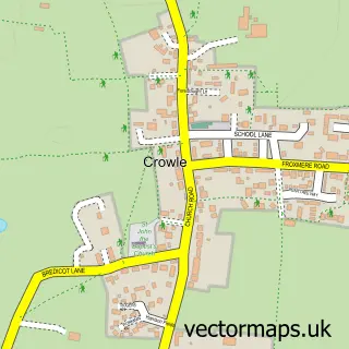
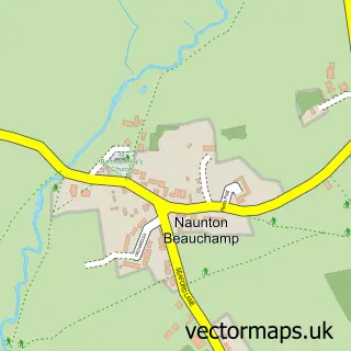
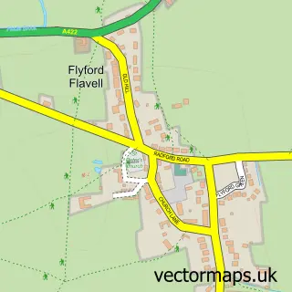
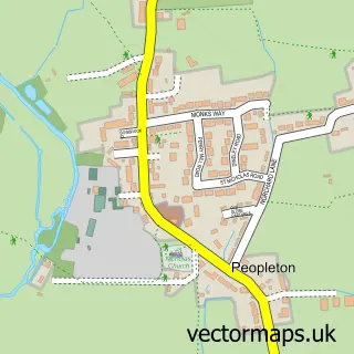
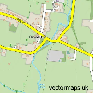
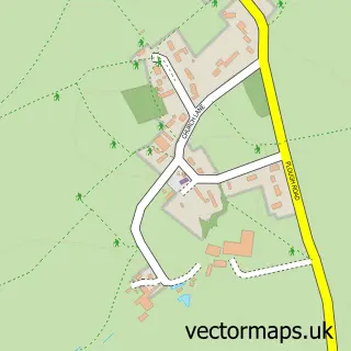
Nearby street map samples around Upton Snodsbury

More street maps in Worcestershire
750 metre map area coverage
Boundary, postcode and point of interest information for the 750m x 750m rectangle centred on this sample map.
Boundaries containing map centre
Constituency: Droitwich and Evesham Co Const
County: Worcestershire County
District: Wychavon District
Icb: NHS Herefordshire and Worcestershire ICB
Parish: Upton Snodsbury CP
Police Force: west mercia
Postcode District: WR7
Postcode Sector: WR7 4
Ward: Upton Snodsbury Ward
Nearby boundaries intersecting sample
Parish: Grafton Flyford CP
Postcode coverage
POI category counts
Anglican Church: 1
Bed And Breakfast: 1
Campground: 1
Car Dealer: 1
Elementary School: 1
Financial Advising: 1
Gift Shop: 1
Horse Boarding: 1
It Service And Computer Repair: 1
Land Surveying: 1
Sample points of interest
- St Kenelm's Upton Snodsbury
- Church Farm Country House
- Elmacre
- Subaru UK
- Upton Snodsbury C of E First School
- Carat Financial Management
- Foszies
- Moorend Livery
- Marketing Answers & Solutions
- Greenwood Projects
- Tobiishikai
- Key Nutrition
Create a larger editable map of Upton Snodsbury
This sample shows only a 750 metre area. To create a larger map of Upton Snodsbury, use our map builder to choose your own coverage area, add titles and download editable SVG, PDF and PNG files.
Create a custom map of Upton Snodsbury