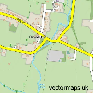
This Flyford Flavell street map is a detailed vector street map covering a 750m x 750m area. Select a larger area to create and download your own vector street map of Flyford Flavell.
The 750-metre map sample for Flyford Flavell covers 124 mapped buildings and approximately 25.5 km of road detail, of which 4 named roads are named. The immediate area includes 1 school and 1 pub. The wider area around Flyford Flavell features 1 food and drink venue. To create a larger or custom map of Flyford Flavell, the map builder lets you define your own coverage area and download editable SVG, PDF and PNG files.
Create a larger editable map of Flyford Flavell
Choose any area you need and generate a high-quality vector map instantly. Perfect for print, planning, design, business and personal use.

This Flyford Flavell street map in Worcestershire is available as downloadable SVG, PDF and PNG map files, or as a printed map for planning, business, display, education, local information and design work. You can also create a larger custom map area using the map selector.
What this Flyford Flavell map sample shows
Flyford Flavell lies within Flyford Flavell Cp parish, part of Upton Snodsbury ward in the Wychavon District local authority area. The postcode geography for this area includes the WR postcode area, the WR7 postcode district and the WR7 4 postcode sector. Residents fall under the Nhs Herefordshire And Worcestershire Integrated Care Board for NHS services.
Local features near Flyford Flavell
Within 2 milesAmenities and services in and around Flyford Flavell.
Administrative and postcode information for Flyford Flavell
The local authority covering Flyford Flavell is Wychavon District, within the county of Worcestershire. The settlement lies within Upton Snodsbury ward and Flyford Flavell Cp civil parish. The WR7 postcode district and WR7 4 postcode sector serve the immediate area. NHS provision in the area is delivered through Worcestershire Acute Hospitals Nhs Trust.
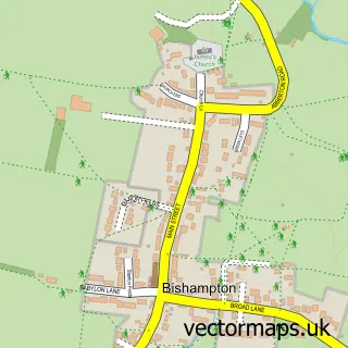
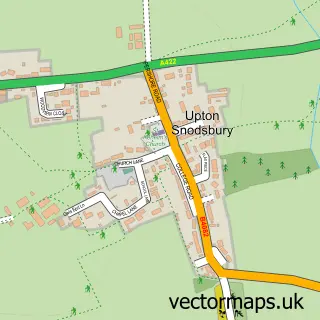
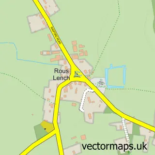
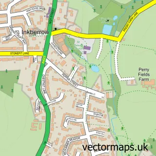
Nearby street map samples around Flyford Flavell

More street maps in Worcestershire
750 metre map area coverage
Boundary, postcode and point of interest information for the 750m x 750m rectangle centred on this sample map.
Boundaries containing map centre
Constituency: Droitwich and Evesham Co Const
County: Worcestershire County
District: Wychavon District
Icb: NHS Herefordshire and Worcestershire ICB
Parish: Flyford Flavell CP
Police Force: west mercia
Postcode District: WR7
Postcode Sector: WR7 4
Ward: Upton Snodsbury Ward
Nearby boundaries intersecting sample
Parish: Kington CP, North Piddle CP
Ward: Inkberrow Ward
Postcode coverage
POI category counts
Elementary School: 2
Anglican Church: 1
Breakfast And Brunch Restaurant: 1
British Restaurant: 1
Building Supply Store: 1
Car Dealer: 1
Inn: 1
Pub: 1
Web Designer: 1
Sample points of interest
- St Peter's
- TOAST Flyford
- Flyford Arms, Flyford Flavell
- Steve Randle Installations
- Mini Direct and BMW Direct
- Flyford Flavell First School
- Flyford Flavell Primary School
- The Boot Inn
- The Flyford
- 121Webconsultancy
Create a larger editable map of Flyford Flavell
This sample shows only a 750 metre area. To create a larger map of Flyford Flavell, use our map builder to choose your own coverage area, add titles and download editable SVG, PDF and PNG files.
Create a custom map of Flyford Flavell