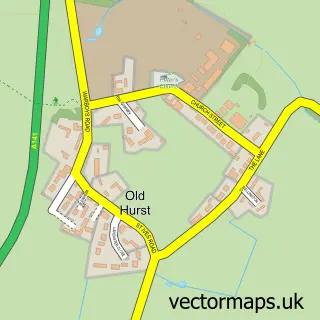
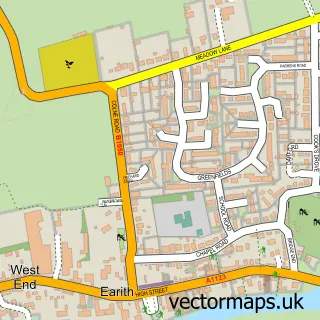
This Pidley street map is a detailed vector street map covering a 750m x 750m area. Select a larger area to create and download your own vector street map of Pidley.
The 750-metre map sample for Pidley covers 136 mapped buildings and approximately 10.3 km of road detail, of which 5 named roads are named. The immediate area includes 1 pub and 2 MOT stations within 2 miles. The wider area around Pidley features 1 food and drink venue and 1 campsite within 2 miles. To create a larger or custom map of Pidley, the map builder lets you define your own coverage area and download editable SVG, PDF and PNG files.
Create a larger editable map of Pidley
Choose any area you need and generate a high-quality vector map instantly. Perfect for print, planning, design, business and personal use.

This Pidley street map in Cambridgeshire is available as downloadable SVG, PDF and PNG map files, or as a printed map for planning, business, display, education, local information and design work. You can also create a larger custom map area using the map selector.
What this Pidley map sample shows
Pidley lies within Pidley Cum Fenton Cp parish, part of Warboys ward in the Huntingdonshire District local authority area. The postcode geography for this area includes the PE postcode area, the PE28 postcode district and the PE28 3 postcode sector. Residents fall under the Nhs Cambridgeshire And Peterborough Integrated Care Board for NHS services.
Local features near Pidley
Within 2 milesAmenities and services in and around Pidley.
Administrative and postcode information for Pidley
The local authority covering Pidley is Huntingdonshire District, within the county of Cambridgeshire. The settlement lies within Warboys ward and Pidley Cum Fenton Cp civil parish. The PE28 postcode district and PE28 3 postcode sector serve the immediate area. NHS provision in the area is delivered through North West Anglia Nhs Foundation Trust.
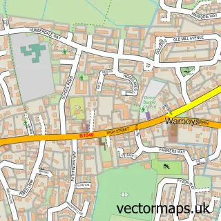
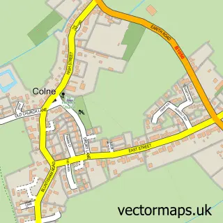
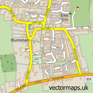
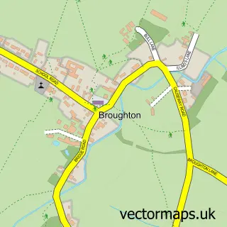
Nearby street map samples around Pidley

More street maps in Cambridgeshire
750 metre map area coverage
Boundary, postcode and point of interest information for the 750m x 750m rectangle centred on this sample map.
Boundaries containing map centre
Constituency: Huntingdon Co Const
County: Cambridgeshire County
District: Huntingdonshire District
Icb: NHS Central East ICB
Parish: Pidley cum Fenton CP
Police Force: cambridgeshire
Postcode District: PE28
Postcode Sector: PE28 3
Ward: Warboys Ward
Nearby boundaries intersecting sample
No additional intersecting boundaries found.
Postcode coverage
POI category counts
Building Supply Store: 2
Beauty Salon: 1
Computer Store: 1
Interior Design: 1
Lighting Store: 1
Pub: 1
Truck Dealer For Businesses: 1
Sample points of interest
- Jolene One To One Beauty Salon
- S.A Plastering
- Xyntax Control Systems
- Spark Contracting
- Mallard Painters & Decorators
- My Green Lighting
- The Mad Cat inn
- Atacanter Horsebox Hire & Sales
Create a larger editable map of Pidley
This sample shows only a 750 metre area. To create a larger map of Pidley, use our map builder to choose your own coverage area, add titles and download editable SVG, PDF and PNG files.
Create a custom map of Pidley