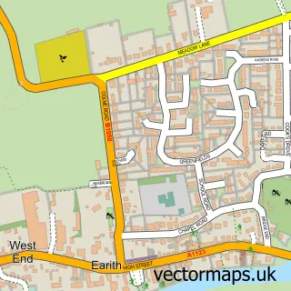
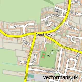
This Somersham street map is a detailed vector street map covering a 750m x 750m area. Select a larger area to create and download your own vector street map of Somersham.
The 750-metre map sample for Somersham covers 616 mapped buildings and approximately 15.3 km of road detail, of which 40 named roads are named. The immediate area includes 2 schools, 1 pub and 1 MOT station, with 3 within 2 miles. The wider area around Somersham features 4 food and drink venues and 1 campsite within 2 miles. To create a larger or custom map of Somersham, the map builder lets you define your own coverage area and download editable SVG, PDF and PNG files.
Create a larger editable map of Somersham
Choose any area you need and generate a high-quality vector map instantly. Perfect for print, planning, design, business and personal use.

This Somersham street map in Cambridgeshire is available as downloadable SVG, PDF and PNG map files, or as a printed map for planning, business, display, education, local information and design work. You can also create a larger custom map area using the map selector.
What this Somersham map sample shows
Somersham lies within Somersham Cp parish, part of Somersham ward in the Huntingdonshire District local authority area. The postcode geography for this area includes the PE postcode area, the PE28 postcode district and the PE28 3 postcode sector. Residents fall under the Nhs Cambridgeshire And Peterborough Integrated Care Board for NHS services.
Local features near Somersham
Within 2 milesAmenities and services in and around Somersham.
Administrative and postcode information for Somersham
Somersham lies within Somersham Cp parish, part of Somersham ward in the Huntingdonshire District local authority area. The postcode geography for this area includes the PE postcode area, the PE28 postcode district and the PE28 3 postcode sector. Residents fall under the Nhs Cambridgeshire And Peterborough Integrated Care Board for NHS services.
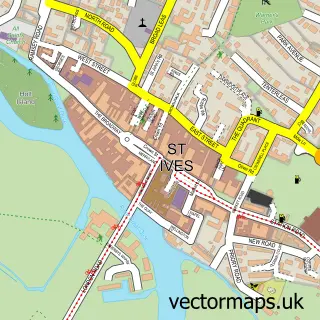
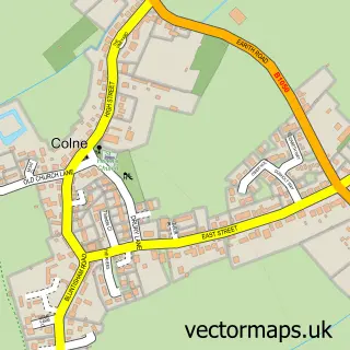
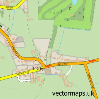
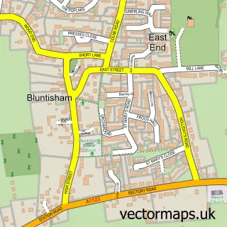
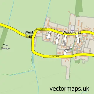
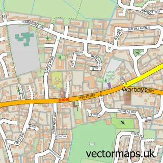
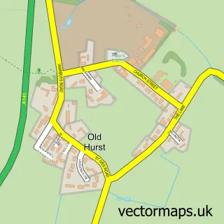
Nearby street map samples around Somersham

More street maps in Cambridgeshire
750 metre map area coverage
Boundary, postcode and point of interest information for the 750m x 750m rectangle centred on this sample map.
Boundaries containing map centre
Constituency: Huntingdon Co Const
County: Cambridgeshire County
District: Huntingdonshire District
Icb: NHS Central East ICB
Parish: Somersham CP
Police Force: cambridgeshire
Postcode District: PE28
Postcode Sector: PE28 3
Ward: Somersham Ward
Nearby boundaries intersecting sample
Parish: Colne CP
Ward: Holywell-cum-Needingworth Ward
Postcode coverage
POI category counts
Convenience Store: 5
Beauty Salon: 3
Contractor: 3
Doctor: 2
Driving School: 2
Elementary School: 2
Flowers And Gifts Shop: 2
Gas Station: 2
Printing Services: 2
Restaurant: 2
Sample points of interest
- St. John the Baptist Somersham
- Matty Moon Electrical
- Brookfield Residential Home
- Cole and Day
- Somersham Computer Service
- Somersham Baptist Church
- Brooks Barbers At Somersham
- Jenela Hair Salon
- Katie Newell Hair
- Strands Hairdressers Somersham
- Ivo Brewery
- MSC Naturally
Create a larger editable map of Somersham
This sample shows only a 750 metre area. To create a larger map of Somersham, use our map builder to choose your own coverage area, add titles and download editable SVG, PDF and PNG files.
Create a custom map of Somersham