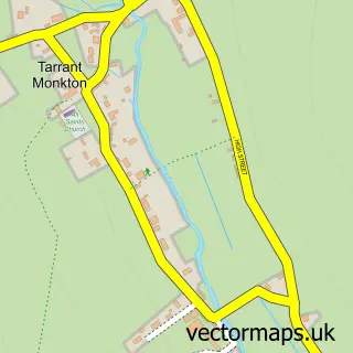
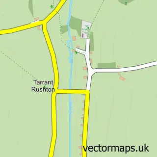
This Pimperne street map is a detailed vector street map covering a 750m x 750m area. Select a larger area to create and download your own vector street map of Pimperne.
The 750-metre map sample for Pimperne covers 303 mapped buildings and approximately 13.5 km of road detail, of which 19 named roads are named. The immediate area includes 1 pub and 4 MOT stations within 2 miles. The wider area around Pimperne features 1 tourism point of interest, 2 food and drink venues and 1 campsite within 2 miles. To create a larger or custom map of Pimperne, the map builder lets you define your own coverage area and download editable SVG, PDF and PNG files.
Create a larger editable map of Pimperne
Choose any area you need and generate a high-quality vector map instantly. Perfect for print, planning, design, business and personal use.

This Pimperne street map in Dorset is available as downloadable SVG, PDF and PNG map files, or as a printed map for planning, business, display, education, local information and design work. You can also create a larger custom map area using the map selector.
What this Pimperne map sample shows
Pimperne lies within Pimperne Cp parish, part of Hill Forts & Upper Tarrants ward in the Dorset local authority area. The postcode geography for this area includes the DT postcode area, the DT11 postcode district and the DT11 8 postcode sector. Residents fall under the Nhs Dorset Integrated Care Board for NHS services.
Local features near Pimperne
Within 2 milesAmenities and services in and around Pimperne.
Administrative and postcode information for Pimperne
Pimperne lies within Pimperne Cp parish, part of Hill Forts & Upper Tarrants ward in the Dorset local authority area. The postcode geography for this area includes the DT postcode area, the DT11 postcode district and the DT11 8 postcode sector. Residents fall under the Nhs Dorset Integrated Care Board for NHS services.
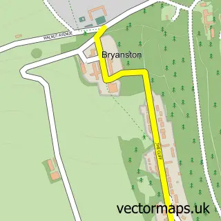
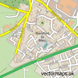
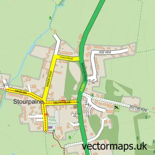
Nearby street map samples around Pimperne

More street maps in Dorset
750 metre map area coverage
Boundary, postcode and point of interest information for the 750m x 750m rectangle centred on this sample map.
Boundaries containing map centre
Constituency: North Dorset Co Const
District: Dorset
Icb: NHS Dorset ICB
Parish: Pimperne CP
Police Force: dorset
Postcode District: DT11
Postcode Sector: DT11 8
Ward: Hill Forts & Upper Tarrants Ward
Nearby boundaries intersecting sample
No additional intersecting boundaries found.
Postcode coverage
POI category counts
Elementary School: 3
Anglican Church: 1
Automotive Services And Repair: 1
Car Dealer: 1
Dog Trainer: 1
Landmark And Historical Building: 1
Pet Groomer: 1
Post Office: 1
Professional Services: 1
Pub: 1
Sample points of interest
- Pimperne: St Peter
- InstaVolt Charging Station
- Jlb automotive
- Dapper Dogs
- Archway Nursery
- Archway Nursery School
- Pimperne C E V C Primary School
- Kingston Lacy House & Gardens National Trust
- PoshPod dog grooming
- Pimperne Post Office
- Alma's Home Studio
- The Anvil Inn
Create a larger editable map of Pimperne
This sample shows only a 750 metre area. To create a larger map of Pimperne, use our map builder to choose your own coverage area, add titles and download editable SVG, PDF and PNG files.
Create a custom map of Pimperne