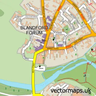
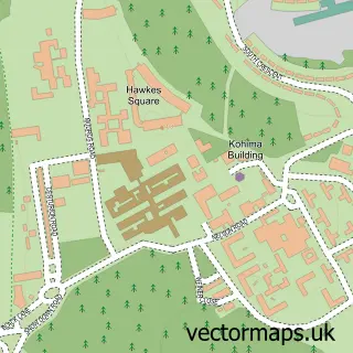
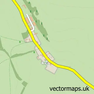
This Bryanston street map is a detailed vector street map covering a 750m x 750m area. Select a larger area to create and download your own vector street map of Bryanston.
The 750-metre map sample for Bryanston covers 67 mapped buildings and approximately 10.8 km of road detail, of which 2 named roads are named. The immediate area includes 1 GP surgery within 2 miles and 4 MOT stations within 2 miles. The wider area around Bryanston features 1 campsite within 2 miles. To create a larger or custom map of Bryanston, the map builder lets you define your own coverage area and download editable SVG, PDF and PNG files.
Create a larger editable map of Bryanston
Choose any area you need and generate a high-quality vector map instantly. Perfect for print, planning, design, business and personal use.

This Bryanston street map in Dorset is available as downloadable SVG, PDF and PNG map files, or as a printed map for planning, business, display, education, local information and design work. You can also create a larger custom map area using the map selector.
What this Bryanston map sample shows
Bryanston lies within Bryanston Cp parish, part of Hill Forts & Upper Tarrants ward in the Dorset local authority area. The postcode geography for this area includes the DT postcode area, the DT11 postcode district and the DT11 0 postcode sector. Residents fall under the Nhs Dorset Integrated Care Board for NHS services.
Local features near Bryanston
Within 2 milesAmenities and services in and around Bryanston.
Administrative and postcode information for Bryanston
The local authority covering Bryanston is Dorset, within the county of Dorset. The settlement lies within Hill Forts & Upper Tarrants ward and Bryanston Cp civil parish. The DT11 postcode district and DT11 0 postcode sector serve the immediate area. NHS provision in the area is delivered through Dorset County Hospital Nhs Foundation Trust.
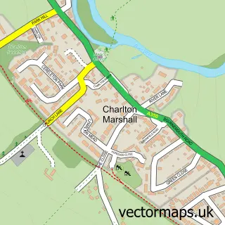
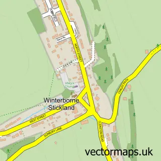
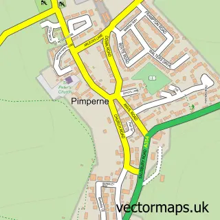
Nearby street map samples around Bryanston

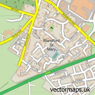
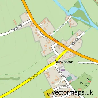
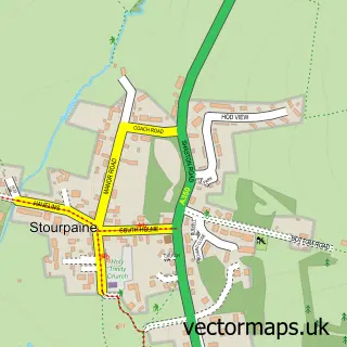
More street maps in Dorset
750 metre map area coverage
Boundary, postcode and point of interest information for the 750m x 750m rectangle centred on this sample map.
Boundaries containing map centre
Constituency: North Dorset Co Const
District: Dorset
Icb: NHS Dorset ICB
Parish: Bryanston CP
Police Force: dorset
Postcode District: DT11
Postcode Sector: DT11 0
Ward: Hill Forts & Upper Tarrants Ward
Nearby boundaries intersecting sample
No additional intersecting boundaries found.
Postcode coverage
POI category counts
Bar: 2
Accountant: 1
Automotive Repair: 1
Bridal Shop: 1
Graphic Designer: 1
Health And Medical: 1
Printing Equipment And Supply: 1
Sample points of interest
- Abacus Ledger
- Dee Jays Motor Sales
- Bryanston Club
- The Old Powerhouse
- Forget Me Not Vintage
- Richard Gregory Design Company
- Blandford Osteopathy
- Branded Design
Create a larger editable map of Bryanston
This sample shows only a 750 metre area. To create a larger map of Bryanston, use our map builder to choose your own coverage area, add titles and download editable SVG, PDF and PNG files.
Create a custom map of Bryanston