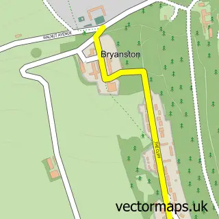
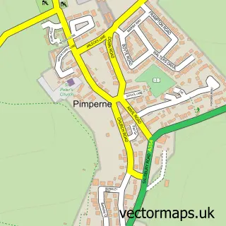
This Charlton Marshall street map is a detailed vector street map covering a 750m x 750m area. Select a larger area to create and download your own vector street map of Charlton Marshall.
The 750-metre map sample for Charlton Marshall covers 315 mapped buildings and approximately 11.0 km of road detail, of which 15 named roads are named. The immediate area includes 1 GP surgery within 2 miles, 1 pub and 1 MOT station within 2 miles. The wider area around Charlton Marshall features 1 food and drink venue and 2 hotels. To create a larger or custom map of Charlton Marshall, the map builder lets you define your own coverage area and download editable SVG, PDF and PNG files.
Create a larger editable map of Charlton Marshall
Choose any area you need and generate a high-quality vector map instantly. Perfect for print, planning, design, business and personal use.

This Charlton Marshall street map in Dorset is available as downloadable SVG, PDF and PNG map files, or as a printed map for planning, business, display, education, local information and design work. You can also create a larger custom map area using the map selector.
What this Charlton Marshall map sample shows
Charlton Marshall lies within Charlton Marshall Cp parish, part of Winterborne North ward in the Dorset local authority area. The postcode geography for this area includes the DT postcode area, the DT11 postcode district and the DT11 9 postcode sector. Residents fall under the Nhs Dorset Integrated Care Board for NHS services.
Local features near Charlton Marshall
Within 2 milesAmenities and services in and around Charlton Marshall.
Administrative and postcode information for Charlton Marshall
Charlton Marshall lies within Charlton Marshall Cp parish, part of Winterborne North ward in the Dorset local authority area. The postcode geography for this area includes the DT postcode area, the DT11 postcode district and the DT11 9 postcode sector. Residents fall under the Nhs Dorset Integrated Care Board for NHS services.
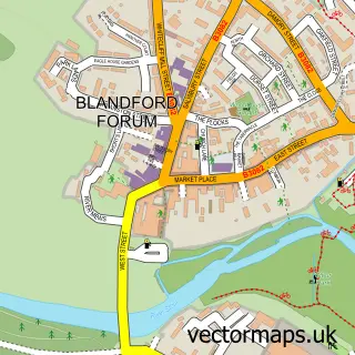
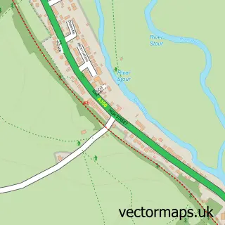
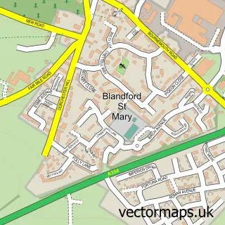
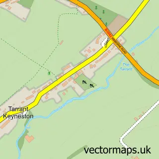
Nearby street map samples around Charlton Marshall

More street maps in Dorset
750 metre map area coverage
Boundary, postcode and point of interest information for the 750m x 750m rectangle centred on this sample map.
Boundaries containing map centre
Constituency: North Dorset Co Const
District: Dorset
Icb: NHS Dorset ICB
Parish: Charlton Marshall CP
Police Force: dorset
Postcode District: DT11
Postcode Sector: DT11 9
Ward: Winterborne North Ward
Nearby boundaries intersecting sample
Parish: Tarrant Keyneston CP
Ward: Cranborne Chase Ward
Postcode coverage
POI category counts
Hotel: 2
Anglican Church: 1
Car Wash: 1
Carpenter: 1
Church Cathedral: 1
Clothing Store: 1
Community Center: 1
Contractor: 1
Electrician: 1
Garbage Collection Service: 1
Sample points of interest
- Charlton Marshall: St Mary the Virgin
- Flawless Detailing Solutions
- The Shellac Works
- St Mary the Virgin
- Ps Clothing
- Charlton Marshall Village Hall
- South Coast Demolition
- Connect Contracting
- Mogsons Waste Ltd
- St Mary Services
- 53 Durweston
- Keston House
Create a larger editable map of Charlton Marshall
This sample shows only a 750 metre area. To create a larger map of Charlton Marshall, use our map builder to choose your own coverage area, add titles and download editable SVG, PDF and PNG files.
Create a custom map of Charlton Marshall