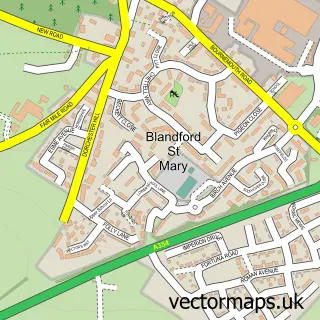
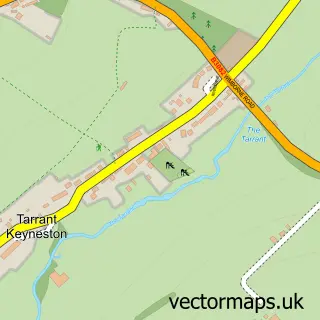
This Blandford Forum street map is a detailed vector street map covering a 750m x 750m area. Select a larger area to create and download your own vector street map of Blandford Forum.
The 750-metre map sample for Blandford Forum covers 242 mapped buildings and approximately 12.4 km of road detail, of which 29 named roads are named. The immediate area includes 1 GP surgery, 5 pubs and 5 MOT stations within 2 miles. The wider area around Blandford Forum features 7 tourism points of interest, 25 food and drink venues and 4 hotels. To create a larger or custom map of Blandford Forum, the map builder lets you define your own coverage area and download editable SVG, PDF and PNG files.
Create a larger editable map of Blandford Forum
Choose any area you need and generate a high-quality vector map instantly. Perfect for print, planning, design, business and personal use.

This Blandford Forum street map in Dorset is available as downloadable SVG, PDF and PNG map files, or as a printed map for planning, business, display, education, local information and design work. You can also create a larger custom map area using the map selector.
What this Blandford Forum map sample shows
Blandford Forum lies within Blandford St. Mary Cp parish, part of Winterborne North ward in the Dorset local authority area. The postcode geography for this area includes the DT postcode area, the DT11 postcode district and the DT11 9 postcode sector. Residents fall under the Nhs Dorset Integrated Care Board for NHS services.
Local features near Blandford Forum
Within 2 milesAmenities and services in and around Blandford Forum.
Administrative and postcode information for Blandford Forum
The local authority covering Blandford Forum is Dorset, within the county of Dorset. The settlement lies within Winterborne North ward and Blandford St. Mary Cp civil parish. The DT11 postcode district and DT11 9 postcode sector serve the immediate area. NHS provision in the area is delivered through Dorset County Hospital Nhs Foundation Trust.
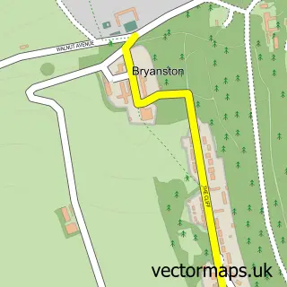
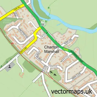
Nearby street map samples around Blandford Forum

More street maps in Dorset
750 metre map area coverage
Boundary, postcode and point of interest information for the 750m x 750m rectangle centred on this sample map.
Boundaries containing map centre
Constituency: North Dorset Co Const
District: Dorset
Icb: NHS Dorset ICB
Parish: Blandford Forum CP
Police Force: dorset
Postcode District: DT11
Postcode Sector: DT11 7
Ward: Blandford Ward
Nearby boundaries intersecting sample
Parish: Blandford St. Mary CP, Bryanston CP
Postcode Sector: DT11 0, DT11 9
Ward: Hill Forts & Upper Tarrants Ward, Winterborne North Ward
Postcode coverage
POI category counts
Cafe: 10
Barber: 8
Flowers And Gifts Shop: 8
Restaurant: 8
Hair Salon: 7
Real Estate Agent: 7
Arts And Crafts: 6
Chinese Restaurant: 6
Professional Services: 6
Church Cathedral: 5
Sample points of interest
- CBA Services Limited
- Bryanston Woods
- Caiti Buck Acupuncture
- Fredd Design
- Webdesignpirates
- Milton Antiques
- Annabelle Valentine
- Blandford Arts Hub
- Hawthorn Contemporary Arts & Craft
- The Incident Room
- Cotton Moon
- SK Picture Framing LTD
Create a larger editable map of Blandford Forum
This sample shows only a 750 metre area. To create a larger map of Blandford Forum, use our map builder to choose your own coverage area, add titles and download editable SVG, PDF and PNG files.
Create a custom map of Blandford Forum