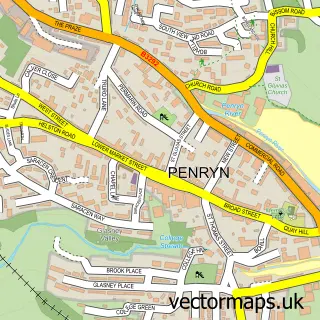
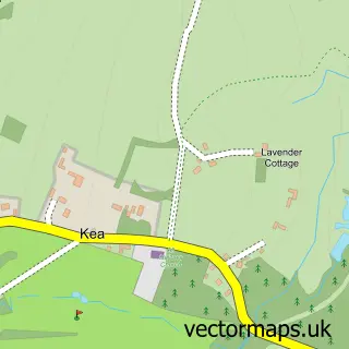
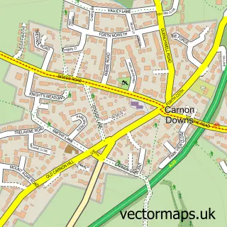
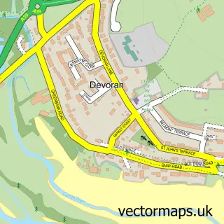
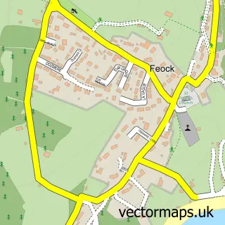
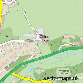
This Playing Place street map is a detailed vector street map covering a 750m x 750m area. Select a larger area to create and download your own vector street map of Playing Place.
The 750-metre map sample for Playing Place covers 260 mapped buildings and approximately 14.3 km of road detail, of which 10 named roads are named. The immediate area includes 3 GP surgeries within 2 miles and 6 MOT stations within 2 miles. The wider area around Playing Place features 1 tourism point of interest, 1 food and drink venue and 1 campsite within 2 miles. To create a larger or custom map of Playing Place, the map builder lets you define your own coverage area and download editable SVG, PDF and PNG files.
Create a larger editable map of Playing Place
Choose any area you need and generate a high-quality vector map instantly. Perfect for print, planning, design, business and personal use.

This Playing Place street map in Cornwall is available as downloadable SVG, PDF and PNG map files, or as a printed map for planning, business, display, education, local information and design work. You can also create a larger custom map area using the map selector.
What this Playing Place map sample shows
Playing Place lies within Kea Cp parish, part of Feock And Playing Place ward in the Cornwall local authority area. The postcode geography for this area includes the TR postcode area, the TR3 postcode district and the TR3 6 postcode sector. Residents fall under the Nhs Cornwall And The Isles Of Scilly Integrated Care Board for NHS services.
Local features near Playing Place
Within 2 milesAmenities and services in and around Playing Place.
Administrative and postcode information for Playing Place
The local authority covering Playing Place is Cornwall, within the county of Cornwall. The settlement lies within Feock And Playing Place ward and Kea Cp civil parish. The TR3 postcode district and TR3 6 postcode sector serve the immediate area. NHS provision in the area is delivered through Royal Cornwall Hospitals Nhs Trust.
Nearby street map samples around Playing Place

More street maps in Cornwall
750 metre map area coverage
Boundary, postcode and point of interest information for the 750m x 750m rectangle centred on this sample map.
Boundaries containing map centre
Constituency: Truro and Falmouth Co Const
District: Cornwall
Icb: NHS Cornwall and the Isles of Scilly ICB
Parish: Kea CP
Police Force: devon and cornwall
Postcode District: TR3
Postcode Sector: TR3 6
Nearby boundaries intersecting sample
No additional intersecting boundaries found.
Postcode coverage
POI category counts
Post Office: 3
Furniture Store: 2
Assisted Living Facility: 1
Atms: 1
Building Supply Store: 1
Coffee Shop: 1
Contractor: 1
Convenience Store: 1
Courier And Delivery Services: 1
Day Care Preschool: 1
Sample points of interest
- Carrick Care Home
- Shell Playing Place (184),, Nr Truro
- P.G. Lakin
- Costa Express
- Curtis Paving
- SPAR
- Evri ParcelShop
- Pitter Patter Playhouse
- Kernow Learning 4 Work
- Swallow the Anchor
- Furniture Store
- Welcombe Conservatories & Windows
Create a larger editable map of Playing Place
This sample shows only a 750 metre area. To create a larger map of Playing Place, use our map builder to choose your own coverage area, add titles and download editable SVG, PDF and PNG files.
Create a custom map of Playing Place