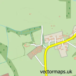
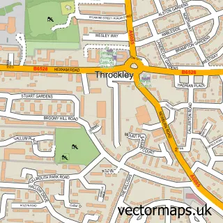
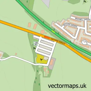
This Ponteland street map is a detailed vector street map covering a 750m x 750m area. Select a larger area to create and download your own vector street map of Ponteland.
The 750-metre map sample for Ponteland covers 314 mapped buildings and approximately 17.2 km of road detail, of which 32 named roads are named. The immediate area includes 3 schools, 2 GP surgeries within 2 miles, 4 pubs and 2 MOT stations within 2 miles. The wider area around Ponteland features 2 tourism points of interest and 15 food and drink venues. To create a larger or custom map of Ponteland, the map builder lets you define your own coverage area and download editable SVG, PDF and PNG files.
Create a larger editable map of Ponteland
Choose any area you need and generate a high-quality vector map instantly. Perfect for print, planning, design, business and personal use.

This Ponteland street map in Northumberland is available as downloadable SVG, PDF and PNG map files, or as a printed map for planning, business, display, education, local information and design work. You can also create a larger custom map area using the map selector.
What this Ponteland map sample shows
Ponteland lies within Ponteland Cp parish, part of Ponteland East And Stannington ward in the Northumberland local authority area. The postcode geography for this area includes the NE postcode area, the NE20 postcode district and the NE20 9 postcode sector. Residents fall under the Nhs North East And North Cumbria Integrated Care Board for NHS services.
Local features near Ponteland
Within 2 milesAmenities and services in and around Ponteland.
Administrative and postcode information for Ponteland
Ponteland lies within Ponteland Cp parish, part of Ponteland East And Stannington ward in the Northumberland local authority area. The postcode geography for this area includes the NE postcode area, the NE20 postcode district and the NE20 9 postcode sector. Residents fall under the Nhs North East And North Cumbria Integrated Care Board for NHS services.
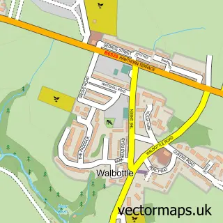
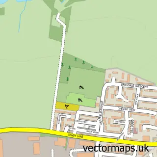
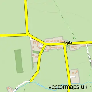
Nearby street map samples around Ponteland

More street maps in Northumberland
750 metre map area coverage
Boundary, postcode and point of interest information for the 750m x 750m rectangle centred on this sample map.
Boundaries containing map centre
Constituency: Hexham Co Const
District: Northumberland
Icb: NHS North East and North Cumbria ICB
Parish: Ponteland CP
Police Force: northumberland
Postcode District: NE20
Postcode Sector: NE20 9
Nearby boundaries intersecting sample
No additional intersecting boundaries found.
Postcode coverage
POI category counts
Professional Services: 9
Barber: 5
Beauty Salon: 5
Cafe: 5
Italian Restaurant: 4
Pub: 4
Real Estate Agent: 4
Sports Club And League: 4
Bank Credit Union: 3
Chinese Restaurant: 3
Sample points of interest
- Rowland Chartered Accountants
- Russell & Co
- St. Mary the Virgin
- Christopher Brummitt Architect
- Kenneth Reed
- Meadowfield Auto Centre Ponteland
- Ponteland Sainsbury's (Argos Collection Point)
- Barclays Local
- Lloyds Bank
- NatWest
- Barclays Bank
- HSBC Bank
Create a larger editable map of Ponteland
This sample shows only a 750 metre area. To create a larger map of Ponteland, use our map builder to choose your own coverage area, add titles and download editable SVG, PDF and PNG files.
Create a custom map of Ponteland