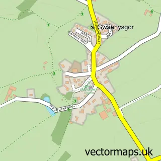
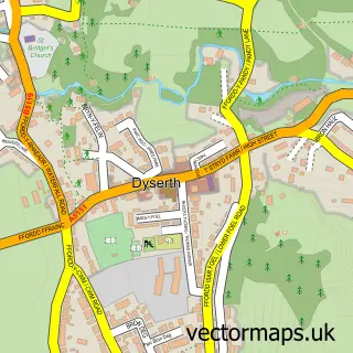
This Prestatyn street map is a detailed vector street map covering a 750m x 750m area. Select a larger area to create and download your own vector street map of Prestatyn.
The 750-metre map sample for Prestatyn covers 511 mapped buildings and approximately 23.5 km of road detail, of which 55 named roads are named. The immediate area includes 1 railway station, 2 GP surgeries within 2 miles, 6 pubs and 3 MOT stations, with 7 within 2 miles. The wider area around Prestatyn features 5 tourism points of interest, 24 food and drink venues and 2 campsites within 2 miles. To create a larger or custom map of Prestatyn, the map builder lets you define your own coverage area and download editable SVG, PDF and PNG files.
Create a larger editable map of Prestatyn
Choose any area you need and generate a high-quality vector map instantly. Perfect for print, planning, design, business and personal use.

This Prestatyn street map in Clwyd is available as downloadable SVG, PDF and PNG map files, or as a printed map for planning, business, display, education, local information and design work. You can also create a larger custom map area using the map selector.
What this Prestatyn map sample shows
Prestatyn lies within Prestatyn Community parish, part of Prestatyn East ward in the Sir Ddinbych - Denbighshire local authority area. The postcode geography for this area includes the LL postcode area, the LL19 postcode district and the LL19 9 postcode sector. Residents fall under the Betsi Cadwaladr University Health Board for NHS services.
Local features near Prestatyn
Within 2 milesAmenities and services in and around Prestatyn.
Administrative and postcode information for Prestatyn
Prestatyn lies within Prestatyn Community parish, part of Prestatyn East ward in the Sir Ddinbych - Denbighshire local authority area. The postcode geography for this area includes the LL postcode area, the LL19 postcode district and the LL19 9 postcode sector. Residents fall under the Betsi Cadwaladr University Health Board for NHS services.
Nearby street map samples around Prestatyn

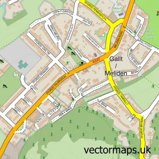
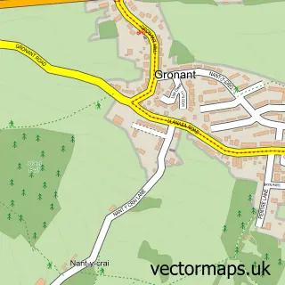
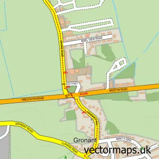

More street maps in Clwyd
750 metre map area coverage
Boundary, postcode and point of interest information for the 750m x 750m rectangle centred on this sample map.
Boundaries containing map centre
Constituency: Clwyd East Co Const
District: Sir Ddinbych - Denbighshire
Icb: Betsi Cadwaladr University
Parish: Prestatyn Community
Police Force: north wales
Postcode District: LL19
Postcode Sector: LL19 9
Nearby boundaries intersecting sample
Postcode Sector: LL19 7, LL19 8
Postcode coverage
POI category counts
Beauty Salon: 21
Hair Salon: 17
Coffee Shop: 9
Church Cathedral: 8
Clothing Store: 8
Bar: 7
Barber: 7
Fast Food Restaurant: 7
Real Estate Agent: 7
Bank Credit Union: 6
Sample points of interest
- Tax Driven Accountants
- Better Canvassing Ltd
- Hazeldene Boarding Cattery
- Presents With A Difference
- A1 Repair Centre
- Aimee's Friday Art Group
- Artisans Collective CIC
- Artisans Collective Communities
- No6 The Studio
- Chynna Garden
- Pendyffryn Gardens Sheltered Housing
- Go Local/VK Convenience Store
Create a larger editable map of Prestatyn
This sample shows only a 750 metre area. To create a larger map of Prestatyn, use our map builder to choose your own coverage area, add titles and download editable SVG, PDF and PNG files.
Create a custom map of Prestatyn