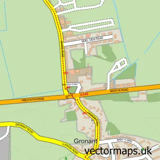
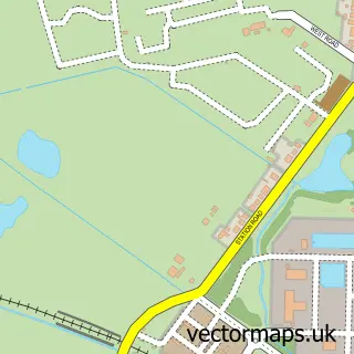
This Upper Gronant street map is a detailed vector street map covering a 750m x 750m area. Select a larger area to create and download your own vector street map of Upper Gronant.
The 750-metre map sample for Upper Gronant covers 183 mapped buildings and approximately 9.4 km of road detail, of which 10 named roads are named. The immediate area includes 1 pub and 7 MOT stations within 2 miles. The wider area around Upper Gronant features 1 tourism point of interest, 1 food and drink venue and 5 campsites within 2 miles. To create a larger or custom map of Upper Gronant, the map builder lets you define your own coverage area and download editable SVG, PDF and PNG files.
Create a larger editable map of Upper Gronant
Choose any area you need and generate a high-quality vector map instantly. Perfect for print, planning, design, business and personal use.

This Upper Gronant street map in Clwyd is available as downloadable SVG, PDF and PNG map files, or as a printed map for planning, business, display, education, local information and design work. You can also create a larger custom map area using the map selector.
What this Upper Gronant map sample shows
Upper Gronant lies within Llanasa Community parish, part of Gronant ward in the Sir Y Fflint - Flintshire local authority area. The postcode geography for this area includes the LL postcode area, the LL19 postcode district and the LL19 9 postcode sector. Residents fall under the Betsi Cadwaladr University Health Board for NHS services.
Local features near Upper Gronant
Within 2 milesAmenities and services in and around Upper Gronant.
Administrative and postcode information for Upper Gronant
Upper Gronant lies within Llanasa Community parish, part of Gronant ward in the Sir Y Fflint - Flintshire local authority area. The postcode geography for this area includes the LL postcode area, the LL19 postcode district and the LL19 9 postcode sector. Residents fall under the Betsi Cadwaladr University Health Board for NHS services.
Nearby street map samples around Upper Gronant
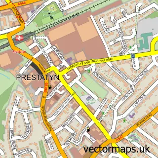


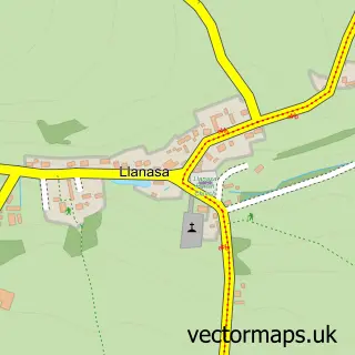
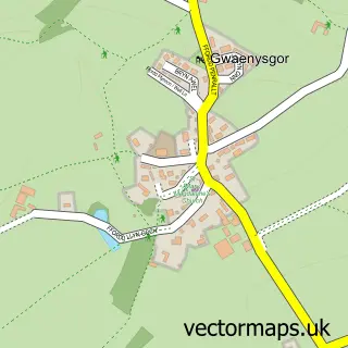
More street maps in Clwyd
750 metre map area coverage
Boundary, postcode and point of interest information for the 750m x 750m rectangle centred on this sample map.
Boundaries containing map centre
Constituency: Clwyd East Co Const
District: Sir y Fflint - Flintshire
Icb: Betsi Cadwaladr University
Parish: Llanasa Community
Police Force: north wales
Postcode District: LL19
Postcode Sector: LL19 9
Nearby boundaries intersecting sample
District: Sir Ddinbych - Denbighshire
Parish: Prestatyn Community
Postcode coverage
POI category counts
Driving School: 2
Automotive Repair: 1
Contractor: 1
Dog Walkers: 1
Home Service: 1
Pet Sitting: 1
Pet Store: 1
Plumbing: 1
Pub: 1
Tours: 1
Sample points of interest
- F E Jones & Sons Auto Centre
- Gronant Property Services
- All Paws Adventures
- Progress School Of Motoring Ltd
- aspinalls driving school
- MR FIX ITS
- The Cat Butler Flint - Cat Sitting Service, Cattery Alternative
- Prestige Pet Supplies
- Drain Doctor
- Gronant Inn
- Fun Tours North Wales
- Gronant Institute
Create a larger editable map of Upper Gronant
This sample shows only a 750 metre area. To create a larger map of Upper Gronant, use our map builder to choose your own coverage area, add titles and download editable SVG, PDF and PNG files.
Create a custom map of Upper Gronant