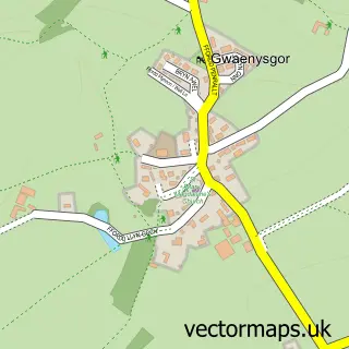
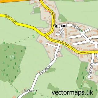
This Trelawnyd street map is a detailed vector street map covering a 750m x 750m area. Select a larger area to create and download your own vector street map of Trelawnyd.
The 750-metre map sample for Trelawnyd covers 151 mapped buildings and approximately 7.6 km of road detail, of which 11 named roads are named. The immediate area includes 1 school, 2 GP surgeries within 2 miles, 1 pub and 2 MOT stations within 2 miles. The wider area around Trelawnyd features 1 tourism point of interest and 1 food and drink venue. To create a larger or custom map of Trelawnyd, the map builder lets you define your own coverage area and download editable SVG, PDF and PNG files.
Create a larger editable map of Trelawnyd
Choose any area you need and generate a high-quality vector map instantly. Perfect for print, planning, design, business and personal use.

This Trelawnyd street map in Clwyd is available as downloadable SVG, PDF and PNG map files, or as a printed map for planning, business, display, education, local information and design work. You can also create a larger custom map area using the map selector.
What this Trelawnyd map sample shows
Trelawnyd lies within Trelawnyd And Gwaenysgor Community parish, part of Trelawnyd And Gwaenysgor ward in the Sir Y Fflint - Flintshire local authority area. The postcode geography for this area includes the LL postcode area, the LL18 postcode district and the LL18 6 postcode sector. Residents fall under the Betsi Cadwaladr University Health Board for NHS services.
Local features near Trelawnyd
Within 2 milesAmenities and services in and around Trelawnyd.
Administrative and postcode information for Trelawnyd
The local authority covering Trelawnyd is Sir Y Fflint - Flintshire, within the county of Clwyd. The settlement lies within Trelawnyd And Gwaenysgor ward and Trelawnyd And Gwaenysgor Community civil parish. The LL18 postcode district and LL18 6 postcode sector serve the immediate area. NHS provision in the area is delivered through Betsi Cadwaladr University Health Board.
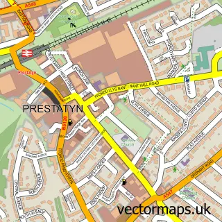
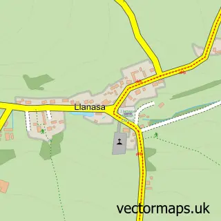
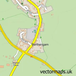
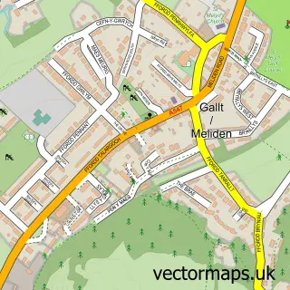
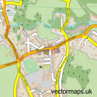
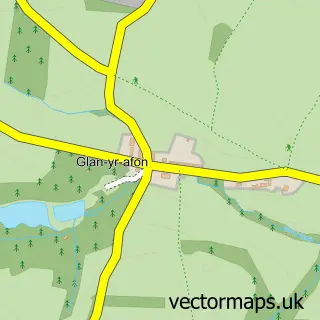
Nearby street map samples around Trelawnyd

More street maps in Clwyd
750 metre map area coverage
Boundary, postcode and point of interest information for the 750m x 750m rectangle centred on this sample map.
Boundaries containing map centre
Constituency: Clwyd East Co Const
District: Sir y Fflint - Flintshire
Icb: Betsi Cadwaladr University
Parish: Trelawnyd and Gwaenysgor Community
Police Force: north wales
Postcode District: LL18
Postcode Sector: LL18 6
Nearby boundaries intersecting sample
No additional intersecting boundaries found.
Postcode coverage
POI category counts
Post Office: 2
Appliance Manufacturer: 1
Landmark And Historical Building: 1
Pub: 1
Public And Government Association: 1
Sewing And Alterations: 1
Sample points of interest
- Prestatyn Gates
- Gop Hill
- Post Office
- Post Office-Trelawnyd
- The Crown Inn
- The Independent Peoples Republic of Trelawnyd
- Lucebuttons
Create a larger editable map of Trelawnyd
This sample shows only a 750 metre area. To create a larger map of Trelawnyd, use our map builder to choose your own coverage area, add titles and download editable SVG, PDF and PNG files.
Create a custom map of Trelawnyd