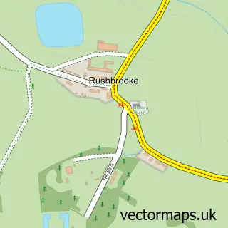
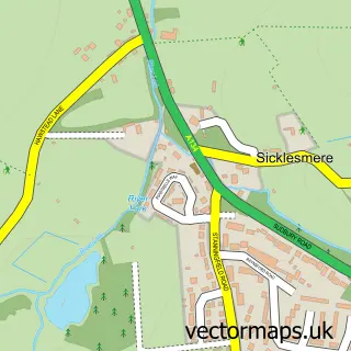
This Rougham street map is a detailed vector street map covering a 750m x 750m area. Select a larger area to create and download your own vector street map of Rougham.
The 750-metre map sample for Rougham covers 92 mapped buildings and approximately 5.6 km of road detail, of which 7 named roads are named. The immediate area includes 2 pubs and 5 MOT stations within 2 miles. The wider area around Rougham features 2 food and drink venues. To create a larger or custom map of Rougham, the map builder lets you define your own coverage area and download editable SVG, PDF and PNG files.
Create a larger editable map of Rougham
Choose any area you need and generate a high-quality vector map instantly. Perfect for print, planning, design, business and personal use.

This Rougham street map in Suffolk is available as downloadable SVG, PDF and PNG map files, or as a printed map for planning, business, display, education, local information and design work. You can also create a larger custom map area using the map selector.
What this Rougham map sample shows
Rougham lies within Rushbrooke With Rougham Cp parish, part of Rougham ward in the West Suffolk District local authority area. The postcode geography for this area includes the IP postcode area, the IP30 postcode district and the IP30 9 postcode sector. Residents fall under the Nhs Suffolk And North East Essex Integrated Care Board for NHS services.
Local features near Rougham
Within 2 milesAmenities and services in and around Rougham.
Administrative and postcode information for Rougham
Rougham lies within Rushbrooke With Rougham Cp parish, part of Rougham ward in the West Suffolk District local authority area. The postcode geography for this area includes the IP postcode area, the IP30 postcode district and the IP30 9 postcode sector. Residents fall under the Nhs Suffolk And North East Essex Integrated Care Board for NHS services.
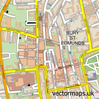
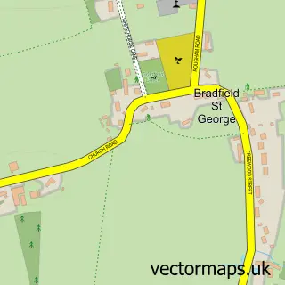
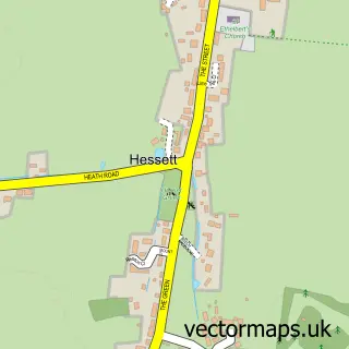
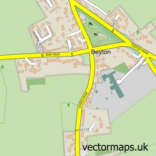
Nearby street map samples around Rougham

More street maps in Suffolk
750 metre map area coverage
Boundary, postcode and point of interest information for the 750m x 750m rectangle centred on this sample map.
Boundaries containing map centre
Constituency: Bury St. Edmunds and Stowmarket Co Const
County: Suffolk County
District: West Suffolk District
Icb: NHS Essex ICB
Parish: Rushbrooke with Rougham CP
Police Force: suffolk
Postcode District: IP30
Postcode Sector: IP30 9
Ward: Rougham Ward
Nearby boundaries intersecting sample
No additional intersecting boundaries found.
Postcode coverage
POI category counts
Post Office: 2
Pub: 2
Chinese Restaurant: 1
Convenience Store: 1
Gym: 1
It Service And Computer Repair: 1
Machine And Tool Rentals: 1
Nursery And Gardening: 1
Professional Services: 1
Roofing: 1
Sample points of interest
- Golden fountain Chinese take away
- Rougham Village Stores and Post Office
- Bounce Thurston
- Abbeygate IT Services
- M. Baird Digger Hire, Landscaping and Garden Services
- Rougham Hall Nurseries
- Rougham Post Office Stores
- Rougham Suffolk, Post Office and Stores
- Baboas
- Bennet Arms
- The Bennet Arms
- JTS Roofing & Building
Create a larger editable map of Rougham
This sample shows only a 750 metre area. To create a larger map of Rougham, use our map builder to choose your own coverage area, add titles and download editable SVG, PDF and PNG files.
Create a custom map of Rougham