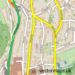
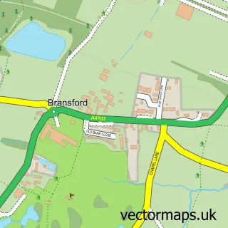
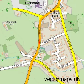
This Rushwick street map is a detailed vector street map covering a 750m x 750m area. Select a larger area to create and download your own vector street map of Rushwick.
The 750-metre map sample for Rushwick covers 330 mapped buildings and approximately 34.4 km of road detail, of which 20 named roads are named. The immediate area includes 1 school, 2 GP surgeries within 2 miles, 1 pub and 14 MOT stations within 2 miles. The wider area around Rushwick features 2 tourism points of interest and 1 food and drink venue. To create a larger or custom map of Rushwick, the map builder lets you define your own coverage area and download editable SVG, PDF and PNG files.
Create a larger editable map of Rushwick
Choose any area you need and generate a high-quality vector map instantly. Perfect for print, planning, design, business and personal use.

This Rushwick street map in Worcestershire is available as downloadable SVG, PDF and PNG map files, or as a printed map for planning, business, display, education, local information and design work. You can also create a larger custom map area using the map selector.
What this Rushwick map sample shows
Rushwick lies within Rushwick Cp parish, part of Broadheath ward in the Malvern Hills District local authority area. The postcode geography for this area includes the WR postcode area, the WR2 postcode district and the WR2 5 postcode sector. Residents fall under the Nhs Herefordshire And Worcestershire Integrated Care Board for NHS services.
Local features near Rushwick
Within 2 milesAmenities and services in and around Rushwick.
Administrative and postcode information for Rushwick
Rushwick lies within Rushwick Cp parish, part of Broadheath ward in the Malvern Hills District local authority area. The postcode geography for this area includes the WR postcode area, the WR2 postcode district and the WR2 5 postcode sector. Residents fall under the Nhs Herefordshire And Worcestershire Integrated Care Board for NHS services.
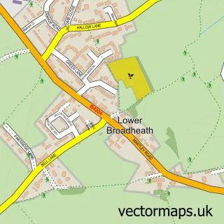
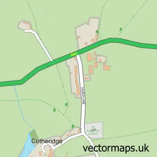
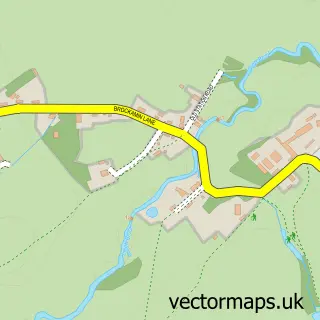
Nearby street map samples around Rushwick

More street maps in Worcestershire
750 metre map area coverage
Boundary, postcode and point of interest information for the 750m x 750m rectangle centred on this sample map.
Boundaries containing map centre
Constituency: West Worcestershire Co Const
County: Worcestershire County
District: Malvern Hills District
Icb: NHS Herefordshire and Worcestershire ICB
Parish: Rushwick CP
Police Force: west mercia
Postcode District: WR2
Postcode Sector: WR2 5
Ward: Alfrick, Leigh & Rushwick Ward
Nearby boundaries intersecting sample
Constituency: Worcester Boro Const
District: Worcester District (B)
Ward: Dines Green & Grove Farm Ward
Postcode coverage
POI category counts
Preschool: 2
Acupuncture: 1
Assisted Living Facility: 1
Attractions And Activities: 1
Business Management Services: 1
Counseling And Mental Health: 1
Electrician: 1
Elementary School: 1
Fabric Store: 1
Fountain: 1
Sample points of interest
- Kay Wilkinson Holistic Therapy
- Bedwardine House Residential Care Home
- Santas Garden
- Jigs 'N' Reels
- Enable Works Ltd
- Buck Electrical
- Rushwick C.E Primary School
- Marguerites Fabric Creations
- Rushwick
- Hexagon Specialist Cleaners Ltd
- Melanie Harris Therapies
- Rushwick Park
Create a larger editable map of Rushwick
This sample shows only a 750 metre area. To create a larger map of Rushwick, use our map builder to choose your own coverage area, add titles and download editable SVG, PDF and PNG files.
Create a custom map of Rushwick