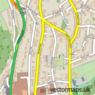
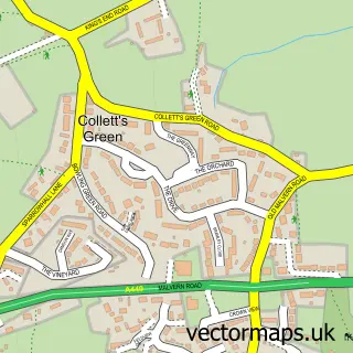
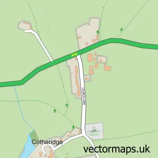
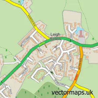
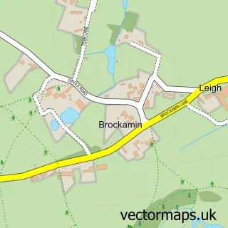
This Bransford street map is a detailed vector street map covering a 750m x 750m area. Select a larger area to create and download your own vector street map of Bransford.
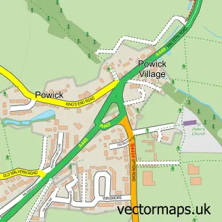
The 750-metre map sample for Bransford covers 88 mapped buildings and approximately 21.4 km of road detail, of which 3 named roads are named. The immediate area includes 1 pub and 1 MOT station, with 2 within 2 miles. The wider area around Bransford features 1 food and drink venue and 2 hotels. To create a larger or custom map of Bransford, the map builder lets you define your own coverage area and download editable SVG, PDF and PNG files.
Create a larger editable map of Bransford
Choose any area you need and generate a high-quality vector map instantly. Perfect for print, planning, design, business and personal use.

This Bransford street map in Worcestershire is available as downloadable SVG, PDF and PNG map files, or as a printed map for planning, business, display, education, local information and design work. You can also create a larger custom map area using the map selector.
What this Bransford map sample shows
Bransford lies within Bransford Cp parish, part of Alfrick And Leigh ward in the Malvern Hills District local authority area. The postcode geography for this area includes the WR postcode area, the WR6 postcode district and the WR6 5 postcode sector. Residents fall under the Nhs Herefordshire And Worcestershire Integrated Care Board for NHS services.
Local features near Bransford
Within 2 milesAmenities and services in and around Bransford.
Administrative and postcode information for Bransford
The local authority covering Bransford is Malvern Hills District, within the county of Worcestershire. The settlement lies within Alfrick And Leigh ward and Bransford Cp civil parish. The WR6 postcode district and WR6 5 postcode sector serve the immediate area. NHS provision in the area is delivered through Worcestershire Acute Hospitals Nhs Trust.
Nearby street map samples around Bransford

More street maps in Worcestershire
750 metre map area coverage
Boundary, postcode and point of interest information for the 750m x 750m rectangle centred on this sample map.
Boundaries containing map centre
Constituency: West Worcestershire Co Const
County: Worcestershire County
District: Malvern Hills District
Icb: NHS Herefordshire and Worcestershire ICB
Parish: Bransford CP
Police Force: west mercia
Postcode District: WR6
Postcode Sector: WR6 5
Ward: Alfrick, Leigh & Rushwick Ward
Nearby boundaries intersecting sample
Parish: Leigh CP, Powick CP
Ward: Powick & the Hanleys Ward
Postcode coverage
POI category counts
Gas Station: 4
Farm: 2
Golf Course: 2
Hotel: 2
Naturopathic Holistic: 2
Nursery And Gardening: 2
Acupuncture: 1
Appliance Manufacturer: 1
Art School: 1
Arts And Crafts: 1
Sample points of interest
- Altair de Almedia
- Preece Joinery
- Clayatthefold
- Delilah And The Moon
- P&G Automotive
- Croft Guest House
- Country House Occasions
- Fancy Features
- James Hunt Car & Commercial Repairs
- Green & Away
- Stockend Farm
- The Fold
Create a larger editable map of Bransford
This sample shows only a 750 metre area. To create a larger map of Bransford, use our map builder to choose your own coverage area, add titles and download editable SVG, PDF and PNG files.
Create a custom map of Bransford