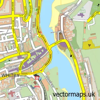
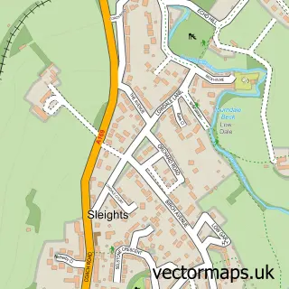
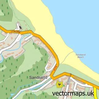
This Ruswarp street map is a detailed vector street map covering a 750m x 750m area. Select a larger area to create and download your own vector street map of Ruswarp.
The 750-metre map sample for Ruswarp covers 145 mapped buildings and approximately 8.4 km of road detail, of which 9 named roads are named. The immediate area includes 1 school, 1 railway station, 2 GP surgeries within 2 miles and 1 pub among other local services. The wider area around Ruswarp features 1 tourism point of interest, 1 food and drink venue and 3 hotels. To create a larger or custom map of Ruswarp, the map builder lets you define your own coverage area and download editable SVG, PDF and PNG files.
Create a larger editable map of Ruswarp
Choose any area you need and generate a high-quality vector map instantly. Perfect for print, planning, design, business and personal use.

This Ruswarp street map in North Yorkshire is available as downloadable SVG, PDF and PNG map files, or as a printed map for planning, business, display, education, local information and design work. You can also create a larger custom map area using the map selector.
What this Ruswarp map sample shows
Ruswarp lies within Whitby Cp parish, part of Mayfield ward in the North Yorkshire local authority area. The postcode geography for this area includes the YO postcode area, the YO21 postcode district and the YO21 1 postcode sector. Residents fall under the Nhs Humber And North Yorkshire Integrated Care Board for NHS services.
Local features near Ruswarp
Within 2 milesAmenities and services in and around Ruswarp.
Administrative and postcode information for Ruswarp
Ruswarp lies within Whitby Cp parish, part of Mayfield ward in the North Yorkshire local authority area. The postcode geography for this area includes the YO postcode area, the YO21 postcode district and the YO21 1 postcode sector. Residents fall under the Nhs Humber And North Yorkshire Integrated Care Board for NHS services.
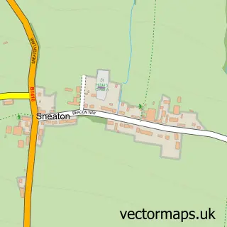
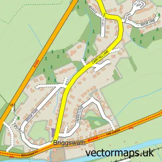
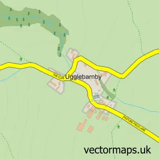
Nearby street map samples around Ruswarp

More street maps in North Yorkshire
750 metre map area coverage
Boundary, postcode and point of interest information for the 750m x 750m rectangle centred on this sample map.
Boundaries containing map centre
Constituency: Scarborough and Whitby Co Const
District: North Yorkshire
Icb: NHS Humber and North Yorkshire ICB
Parish: Whitby CP
Police Force: north yorkshire
Postcode District: YO21
Postcode Sector: YO21 1
Nearby boundaries intersecting sample
Parish: Eskdaleside cum Ugglebarnby CP, Hawsker-cum-Stainsacre CP, Sneaton CP
Postcode District: YO22
Postcode Sector: YO22 4, YO22 5
Postcode coverage
POI category counts
Bed And Breakfast: 3
Hotel: 3
Butcher Shop: 2
Accommodation: 1
Automotive Repair: 1
Boat Rental And Training: 1
Brewery: 1
Building Supply Store: 1
Campground: 1
Delicatessen: 1
Sample points of interest
- Turnerdale Hall
- Fylingdales Auto Services
- Chain Bridge Cottages
- Croft Farm Cottages
- Glen View B & B
- Ruswarp Pleasure Boats
- Tipsea Wines
- Wilf Noble Building Supplies
- Jacksons Butchers
- Jackson’s of Ruswarp
- Shawn Riggs Caravans
- Ruswarp Post Office
Create a larger editable map of Ruswarp
This sample shows only a 750 metre area. To create a larger map of Ruswarp, use our map builder to choose your own coverage area, add titles and download editable SVG, PDF and PNG files.
Create a custom map of Ruswarp