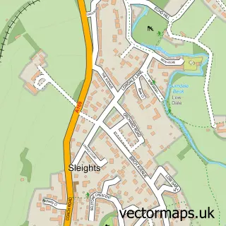
This Sneaton street map is a detailed vector street map covering a 750m x 750m area. Select a larger area to create and download your own vector street map of Sneaton.
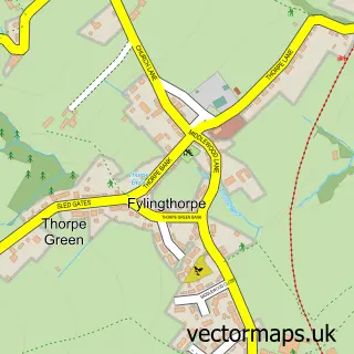
The 750-metre map sample for Sneaton covers 71 mapped buildings and approximately 8.3 km of road detail, of which 2 named roads are named. The immediate area includes 2 GP surgeries within 2 miles, 1 pub and 1 MOT station, with 4 within 2 miles. The wider area around Sneaton features 1 tourism point of interest, 1 food and drink venue and 2 hotels. To create a larger or custom map of Sneaton, the map builder lets you define your own coverage area and download editable SVG, PDF and PNG files.
Create a larger editable map of Sneaton
Choose any area you need and generate a high-quality vector map instantly. Perfect for print, planning, design, business and personal use.

This Sneaton street map in North Yorkshire is available as downloadable SVG, PDF and PNG map files, or as a printed map for planning, business, display, education, local information and design work. You can also create a larger custom map area using the map selector.
What this Sneaton map sample shows
Sneaton lies within Sneaton Cp parish, part of Esk Valley ward in the North Yorkshire local authority area. The postcode geography for this area includes the YO postcode area, the YO22 postcode district and the YO22 5 postcode sector. Residents fall under the Nhs Humber And North Yorkshire Integrated Care Board for NHS services.
Local features near Sneaton
Within 2 milesAmenities and services in and around Sneaton.
Administrative and postcode information for Sneaton
Sneaton lies within Sneaton Cp parish, part of Esk Valley ward in the North Yorkshire local authority area. The postcode geography for this area includes the YO postcode area, the YO22 postcode district and the YO22 5 postcode sector. Residents fall under the Nhs Humber And North Yorkshire Integrated Care Board for NHS services.
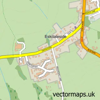
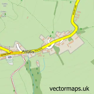
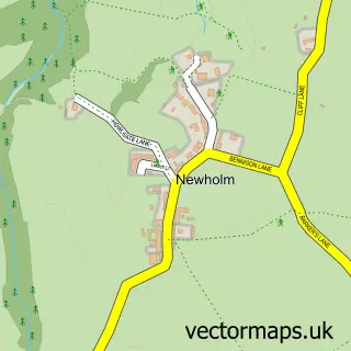
Nearby street map samples around Sneaton

More street maps in North Yorkshire
750 metre map area coverage
Boundary, postcode and point of interest information for the 750m x 750m rectangle centred on this sample map.
Boundaries containing map centre
Constituency: Scarborough and Whitby Co Const
District: North Yorkshire
Icb: NHS Humber and North Yorkshire ICB
Parish: Sneaton CP
Police Force: north yorkshire
Postcode District: YO22
Postcode Sector: YO22 5
Nearby boundaries intersecting sample
No additional intersecting boundaries found.
Postcode coverage
POI category counts
Automotive Repair: 2
Hotel: 2
Anglican Church: 1
Audio Visual Equipment Store: 1
Beauty Salon: 1
Campground: 1
Ice Cream Shop: 1
Mobile Home Park: 1
Pub: 1
Rental Service: 1
Sample points of interest
- St Hilda
- Esk Audio Ltd
- Pulsar Body Tech
- Pulsar Body Tech
- Beauty Within at Beacon Farm
- Beacon Farm - Camping
- Sneaton Hall
- The Wilson Arms Inn
- Beacon Farm
- Monks Farm Sneaton
- Wilson Arms
- Esk Audio
Create a larger editable map of Sneaton
This sample shows only a 750 metre area. To create a larger map of Sneaton, use our map builder to choose your own coverage area, add titles and download editable SVG, PDF and PNG files.
Create a custom map of Sneaton