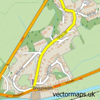
This Fylingthorpe street map is a detailed vector street map covering a 750m x 750m area. Select a larger area to create and download your own vector street map of Fylingthorpe.
The 750-metre map sample for Fylingthorpe covers 189 mapped buildings and approximately 7.4 km of road detail, of which 9 named roads are named. The immediate area includes 1 school and 1 pub. The wider area around Fylingthorpe features 2 tourism points of interest, 1 food and drink venue and 5 campsites within 2 miles. To create a larger or custom map of Fylingthorpe, the map builder lets you define your own coverage area and download editable SVG, PDF and PNG files.
Create a larger editable map of Fylingthorpe
Choose any area you need and generate a high-quality vector map instantly. Perfect for print, planning, design, business and personal use.

This Fylingthorpe street map in North Yorkshire is available as downloadable SVG, PDF and PNG map files, or as a printed map for planning, business, display, education, local information and design work. You can also create a larger custom map area using the map selector.
What this Fylingthorpe map sample shows
Fylingthorpe lies within Fylingdales Cp parish, part of Fylingdales & Ravenscar ward in the North Yorkshire local authority area. The postcode geography for this area includes the YO postcode area, the YO22 postcode district and the YO22 4 postcode sector. Residents fall under the Nhs Humber And North Yorkshire Integrated Care Board for NHS services.
Local features near Fylingthorpe
Within 2 milesAmenities and services in and around Fylingthorpe.
Administrative and postcode information for Fylingthorpe
Fylingthorpe lies within Fylingdales Cp parish, part of Fylingdales & Ravenscar ward in the North Yorkshire local authority area. The postcode geography for this area includes the YO postcode area, the YO22 postcode district and the YO22 4 postcode sector. Residents fall under the Nhs Humber And North Yorkshire Integrated Care Board for NHS services.
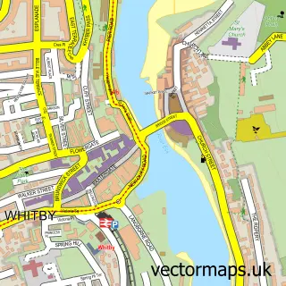
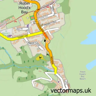
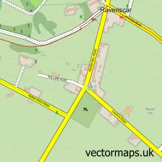
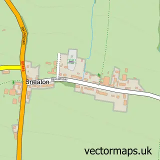
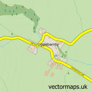
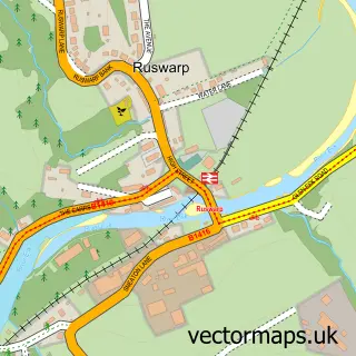
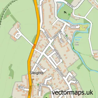
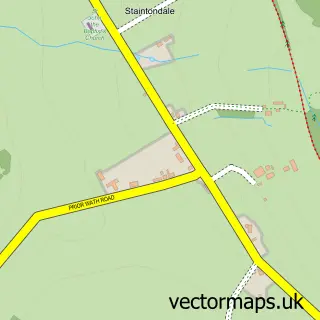
Nearby street map samples around Fylingthorpe

More street maps in North Yorkshire
750 metre map area coverage
Boundary, postcode and point of interest information for the 750m x 750m rectangle centred on this sample map.
Boundaries containing map centre
Constituency: Scarborough and Whitby Co Const
District: North Yorkshire
Icb: NHS Humber and North Yorkshire ICB
Parish: Fylingdales CP
Police Force: north yorkshire
Postcode District: YO22
Postcode Sector: YO22 4
Nearby boundaries intersecting sample
Parish: Fylingdales and Hawsker-cum-Stainsacre CP
Postcode coverage
POI category counts
Bed And Breakfast: 4
Campground: 2
Holiday Rental Home: 2
Bakery: 1
Elementary School: 1
Fire Department: 1
Furniture Manufacturers: 1
Hvac Supplier: 1
Professional Services: 1
Pub: 1
Sample points of interest
- Barnards
- Saxon Villa
- The Fern Suite
- The Grange Luxury Bed and Breakfast
- Thorpe Green House Vegetarian B&B
- Middlewood Farm Holiday Park
- Middlewood Farm Holiday Park
- Fylingdales C of E Primary School
- Robin Hood's Bay Fire Station
- Handy Andys
- Apple Farm Cottage
- Ashford House Accommodation
Create a larger editable map of Fylingthorpe
This sample shows only a 750 metre area. To create a larger map of Fylingthorpe, use our map builder to choose your own coverage area, add titles and download editable SVG, PDF and PNG files.
Create a custom map of Fylingthorpe