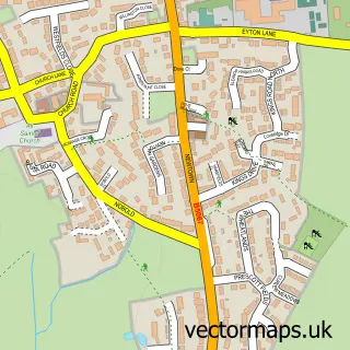
This Ruyton-XI-Towns street map is a detailed vector street map covering a 750m x 750m area. Select a larger area to create and download your own vector street map of Ruyton-XI-Towns.
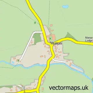
The 750-metre map sample for Ruyton-XI-Towns covers 201 mapped buildings and approximately 7.0 km of road detail, of which 16 named roads are named. The immediate area includes 1 school, 1 pub and 1 MOT station, with 2 within 2 miles. The wider area around Ruyton-XI-Towns features 2 food and drink venues, 1 hotel and 2 campsites within 2 miles. To create a larger or custom map of Ruyton-XI-Towns, the map builder lets you define your own coverage area and download editable SVG, PDF and PNG files.
Create a larger editable map of Ruyton-XI-Towns
Choose any area you need and generate a high-quality vector map instantly. Perfect for print, planning, design, business and personal use.

This Ruyton-XI-Towns street map in Shropshire is available as downloadable SVG, PDF and PNG map files, or as a printed map for planning, business, display, education, local information and design work. You can also create a larger custom map area using the map selector.
What this Ruyton-XI-Towns map sample shows
Ruyton-XI-Towns lies within Ruyton-Xi-Towns Cp parish, part of Ruyton And Baschurch ward in the Shropshire local authority area. The postcode geography for this area includes the SY postcode area, the SY4 postcode district and the SY4 1 postcode sector. Residents fall under the Nhs Shropshire, Telford And Wrekin Integrated Care Board for NHS services.
Local features near Ruyton-XI-Towns
Within 2 milesAmenities and services in and around Ruyton-XI-Towns.
Administrative and postcode information for Ruyton-XI-Towns
Ruyton-XI-Towns lies within Ruyton-Xi-Towns Cp parish, part of Ruyton And Baschurch ward in the Shropshire local authority area. The postcode geography for this area includes the SY postcode area, the SY4 postcode district and the SY4 1 postcode sector. Residents fall under the Nhs Shropshire, Telford And Wrekin Integrated Care Board for NHS services.
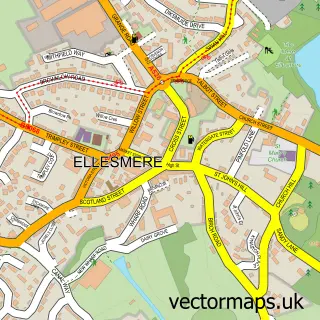
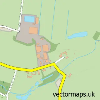
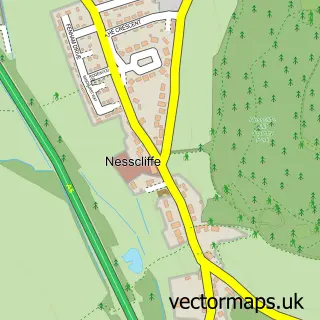
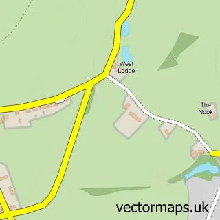
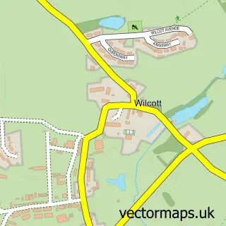
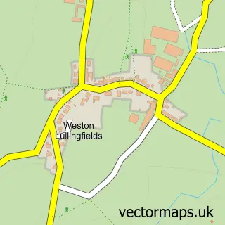
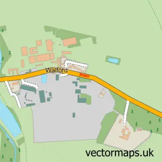
Nearby street map samples around Ruyton-XI-Towns

More street maps in Shropshire
750 metre map area coverage
Boundary, postcode and point of interest information for the 750m x 750m rectangle centred on this sample map.
Boundaries containing map centre
Constituency: North Shropshire Co Const
District: Shropshire
Icb: NHS Shropshire Telford and Wrekin ICB
Parish: Ruyton-XI-Towns CP
Police Force: west mercia
Postcode District: SY4
Postcode Sector: SY4 1
Nearby boundaries intersecting sample
Parish: Baschurch CP
Postcode coverage
POI category counts
Automotive Repair: 3
Elementary School: 3
Architect: 2
Beauty Salon: 2
Anglican Church: 1
Auction House: 1
Barber: 1
Bed And Breakfast: 1
Coffee Shop: 1
Driving School: 1
Sample points of interest
- Ruyton-XI-Towns St.John Baptist
- Arthur Heeley Piano Tuning
- Heeleys Architects
- Recycle Auctions
- J L Allen
- Leaman Garage
- M & J Lewis
- Top House Barbers
- Molly Braddick Hair & Beauty
- Thefaceandbodyclinicshropshire
- Brownhill House
- Cafe eleven
Create a larger editable map of Ruyton-XI-Towns
This sample shows only a 750 metre area. To create a larger map of Ruyton-XI-Towns, use our map builder to choose your own coverage area, add titles and download editable SVG, PDF and PNG files.
Create a custom map of Ruyton-XI-Towns