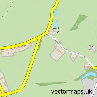
This Nesscliffe street map is a detailed vector street map covering a 750m x 750m area. Select a larger area to create and download your own vector street map of Nesscliffe.
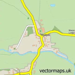
The 750-metre map sample for Nesscliffe covers 140 mapped buildings and approximately 9.2 km of road detail, of which 4 named roads are named. The immediate area includes 1 pub and 1 MOT station within 2 miles. The wider area around Nesscliffe features 2 tourism points of interest, 2 food and drink venues and 2 campsites within 2 miles. To create a larger or custom map of Nesscliffe, the map builder lets you define your own coverage area and download editable SVG, PDF and PNG files.
Create a larger editable map of Nesscliffe
Choose any area you need and generate a high-quality vector map instantly. Perfect for print, planning, design, business and personal use.

This Nesscliffe street map in Shropshire is available as downloadable SVG, PDF and PNG map files, or as a printed map for planning, business, display, education, local information and design work. You can also create a larger custom map area using the map selector.
What this Nesscliffe map sample shows
Nesscliffe lies within Great Ness Cp parish, part of Loton ward in the Shropshire local authority area. The postcode geography for this area includes the SY postcode area, the SY4 postcode district and the SY4 1 postcode sector. Residents fall under the Nhs Shropshire, Telford And Wrekin Integrated Care Board for NHS services.
Local features near Nesscliffe
Within 2 milesAmenities and services in and around Nesscliffe.
Administrative and postcode information for Nesscliffe
Nesscliffe lies within Great Ness Cp parish, part of Loton ward in the Shropshire local authority area. The postcode geography for this area includes the SY postcode area, the SY4 postcode district and the SY4 1 postcode sector. Residents fall under the Nhs Shropshire, Telford And Wrekin Integrated Care Board for NHS services.
Nearby street map samples around Nesscliffe
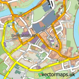

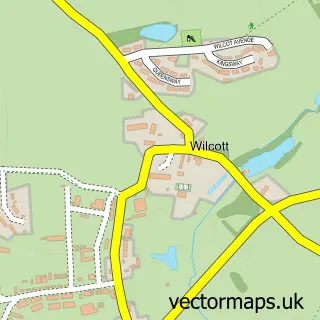
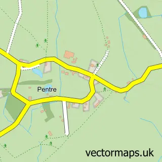
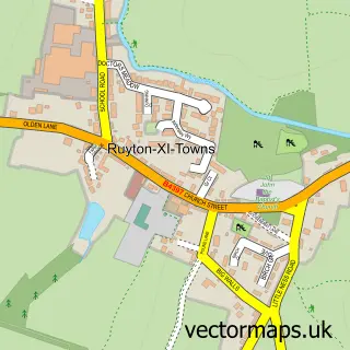
More street maps in Shropshire
750 metre map area coverage
Boundary, postcode and point of interest information for the 750m x 750m rectangle centred on this sample map.
Boundaries containing map centre
Constituency: Shrewsbury Co Const
District: Shropshire
Icb: NHS Shropshire Telford and Wrekin ICB
Parish: Great Ness CP
Police Force: west mercia
Postcode District: SY4
Postcode Sector: SY4 1
Nearby boundaries intersecting sample
No additional intersecting boundaries found.
Postcode coverage
POI category counts
Convenience Store: 2
Beauty Salon: 1
Building Supply Store: 1
Coffee Shop: 1
Elementary School: 1
Environmental Testing: 1
Farm: 1
Gas Station: 1
Landmark And Historical Building: 1
Park: 1
Sample points of interest
- Total Look Beauty Salon
- Garagepride
- Costa Express
- Londis NESSCLIFFE SERVICE STATION
- Londis Nesscliffe Service Station
- St Andrews C of E School
- Greenfield Environmental And Training Consultancy
- J C & M W Suckley
- Nesscliffe Service Station
- Nescliffe Hill
- Nescliffe Hill Kynaston Cave
- Lindy's Leads
Create a larger editable map of Nesscliffe
This sample shows only a 750 metre area. To create a larger map of Nesscliffe, use our map builder to choose your own coverage area, add titles and download editable SVG, PDF and PNG files.
Create a custom map of Nesscliffe