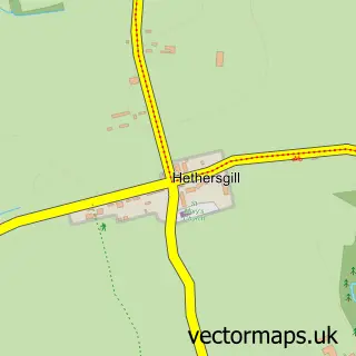
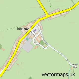
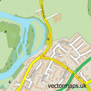
This Scaleby street map is a detailed vector street map covering a 750m x 750m area. Select a larger area to create and download your own vector street map of Scaleby.
The 750-metre map sample for Scaleby covers 44 mapped buildings and approximately 6.3 km of road detail. The immediate area includes 2 MOT stations within 2 miles. To create a larger or custom map of Scaleby, the map builder lets you define your own coverage area and download editable SVG, PDF and PNG files.
Create a larger editable map of Scaleby
Choose any area you need and generate a high-quality vector map instantly. Perfect for print, planning, design, business and personal use.

This Scaleby street map in Cumbria is available as downloadable SVG, PDF and PNG map files, or as a printed map for planning, business, display, education, local information and design work. You can also create a larger custom map area using the map selector.
What this Scaleby map sample shows
Scaleby lies within Scaleby Cp parish, part of Longtown & The Border ward in the Cumberland local authority area. The postcode geography for this area includes the CA postcode area, the CA6 postcode district and the CA6 4 postcode sector. Residents fall under the Nhs North East And North Cumbria Integrated Care Board for NHS services.
Local features near Scaleby
Within 2 milesAmenities and services in and around Scaleby.
Administrative and postcode information for Scaleby
Scaleby lies within Scaleby Cp parish, part of Longtown & The Border ward in the Cumberland local authority area. The postcode geography for this area includes the CA postcode area, the CA6 postcode district and the CA6 4 postcode sector. Residents fall under the Nhs North East And North Cumbria Integrated Care Board for NHS services.
Nearby street map samples around Scaleby

More street maps in Cumbria
750 metre map area coverage
Boundary, postcode and point of interest information for the 750m x 750m rectangle centred on this sample map.
Boundaries containing map centre
Constituency: Carlisle Co Const
District: Cumberland
Icb: NHS North East and North Cumbria ICB
Parish: Scaleby CP
Police Force: cumbria
Postcode District: CA6
Postcode Sector: CA6 4
Ward: Houghton and Irthington Ward
Nearby boundaries intersecting sample
No additional intersecting boundaries found.
Postcode coverage
POI category counts
Building Supply Store: 1
Financial Service: 1
Holiday Rental Home: 1
Plumbing: 1
Public And Government Association: 1
Sample points of interest
- Graham Steel Erectors Ltd
- Louise Utting Chartered Accountant
- Brown Dyke Stables
- James Smith, Plumbing And Heating
- Scaleby Village Hall
Create a larger editable map of Scaleby
This sample shows only a 750 metre area. To create a larger map of Scaleby, use our map builder to choose your own coverage area, add titles and download editable SVG, PDF and PNG files.
Create a custom map of Scaleby