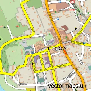
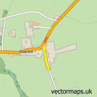
This Sheet street map is a detailed vector street map covering a 750m x 750m area. Select a larger area to create and download your own vector street map of Sheet.
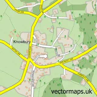
The 750-metre map sample for Sheet covers 135 mapped buildings and approximately 18.3 km of road detail, of which 4 named roads are named. The immediate area includes 2 GP surgeries within 2 miles and 7 MOT stations within 2 miles. The wider area around Sheet features 2 tourism points of interest. To create a larger or custom map of Sheet, the map builder lets you define your own coverage area and download editable SVG, PDF and PNG files.
Create a larger editable map of Sheet
Choose any area you need and generate a high-quality vector map instantly. Perfect for print, planning, design, business and personal use.

This Sheet street map in Shropshire is available as downloadable SVG, PDF and PNG map files, or as a printed map for planning, business, display, education, local information and design work. You can also create a larger custom map area using the map selector.
What this Sheet map sample shows
Sheet lies within Ludford Cp parish, part of Ludlow South ward in the Shropshire local authority area. The postcode geography for this area includes the SY postcode area, the SY8 postcode district and the SY8 3 postcode sector. Residents fall under the Nhs Shropshire, Telford And Wrekin Integrated Care Board for NHS services.
Local features near Sheet
Within 2 milesAmenities and services in and around Sheet.
Administrative and postcode information for Sheet
The local authority covering Sheet is Shropshire, within the county of Shropshire. The settlement lies within Ludlow South ward and Ludford Cp civil parish. The SY8 postcode district and SY8 3 postcode sector serve the immediate area. NHS provision in the area is delivered through Wye Valley Nhs Trust.
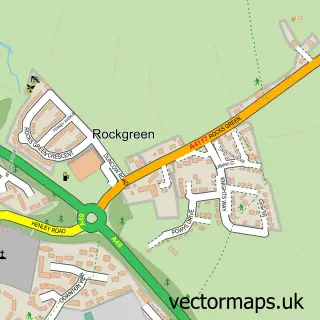
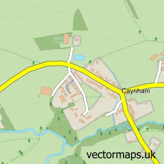
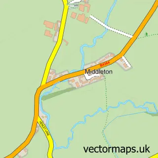
Nearby street map samples around Sheet

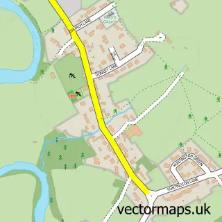
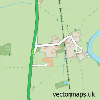
More street maps in Shropshire
750 metre map area coverage
Boundary, postcode and point of interest information for the 750m x 750m rectangle centred on this sample map.
Boundaries containing map centre
Constituency: South Shropshire Co Const
District: Shropshire
Icb: NHS Shropshire Telford and Wrekin ICB
Parish: Ludford CP
Police Force: west mercia
Postcode District: SY8
Postcode Sector: SY8 4
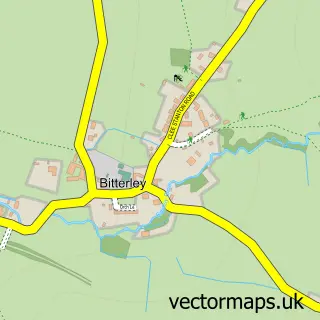
Nearby boundaries intersecting sample
Parish: Bitterley CP
Postcode Sector: SY8 1
Postcode coverage
POI category counts
Professional Services: 5
Property Management: 2
Beauty And Spa: 1
Business: 1
Business Manufacturing And Supply: 1
Commercial Real Estate: 1
Computer Wholesaler: 1
Corporate Office: 1
Dentist: 1
Education: 1
Sample points of interest
- The Green Woman
- Capita Medical Reporting
- Interflex Hose & Bellows
- Flexspace Ludlow
- Treeline Web Agency
- Lanyon Bowdler Solicitors - Ludlow Office
- Alliance Dentistry
- Derwen College Ludlow
- Implemental Ltd.
- Q M G
- Midland Landscaping
- Texaco
Create a larger editable map of Sheet
This sample shows only a 750 metre area. To create a larger map of Sheet, use our map builder to choose your own coverage area, add titles and download editable SVG, PDF and PNG files.
Create a custom map of Sheet