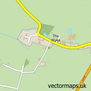
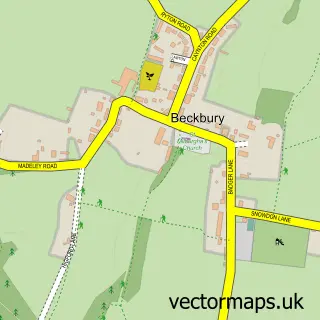
This Shifnal street map is a detailed vector street map covering a 750m x 750m area. Select a larger area to create and download your own vector street map of Shifnal.
The 750-metre map sample for Shifnal covers 504 mapped buildings and approximately 18.8 km of road detail, of which 45 named roads are named. The immediate area includes 1 railway station, 1 GP surgery within 2 miles, 9 pubs and 1 MOT station. The wider area around Shifnal features 2 tourism points of interest, 15 food and drink venues and 1 hotel. To create a larger or custom map of Shifnal, the map builder lets you define your own coverage area and download editable SVG, PDF and PNG files.
Create a larger editable map of Shifnal
Choose any area you need and generate a high-quality vector map instantly. Perfect for print, planning, design, business and personal use.

This Shifnal street map in Shropshire is available as downloadable SVG, PDF and PNG map files, or as a printed map for planning, business, display, education, local information and design work. You can also create a larger custom map area using the map selector.
What this Shifnal map sample shows
Shifnal lies within Shifnal Cp parish, part of Shifnal South And Cosford ward in the Shropshire local authority area. The postcode geography for this area includes the TF postcode area, the TF11 postcode district and the TF11 8 postcode sector. Residents fall under the Nhs Shropshire, Telford And Wrekin Integrated Care Board for NHS services.
Local features near Shifnal
Within 2 milesAmenities and services in and around Shifnal.
Administrative and postcode information for Shifnal
The local authority covering Shifnal is Shropshire, within the county of Shropshire. The settlement lies within Shifnal South And Cosford ward and Shifnal Cp civil parish. The TF11 postcode district and TF11 8 postcode sector serve the immediate area. NHS provision in the area is delivered through The Shrewsbury And Telford Hospital Nhs Trust.
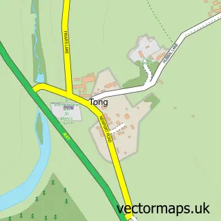
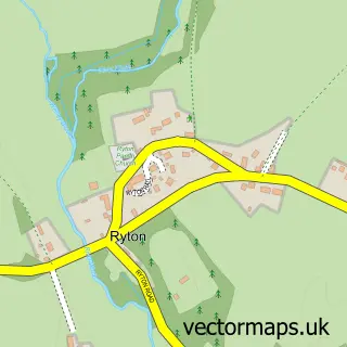
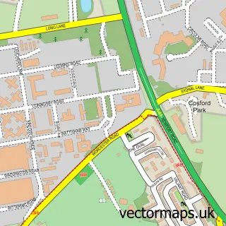
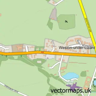
Nearby street map samples around Shifnal

More street maps in Shropshire
750 metre map area coverage
Boundary, postcode and point of interest information for the 750m x 750m rectangle centred on this sample map.
Boundaries containing map centre
Constituency: The Wrekin Co Const
District: Shropshire
Icb: NHS Shropshire Telford and Wrekin ICB
Parish: Shifnal CP
Police Force: west mercia
Postcode District: TF11
Postcode Sector: TF11 8
Nearby boundaries intersecting sample
Postcode Sector: TF11 9
Postcode coverage
POI category counts
Beauty Salon: 17
Hair Salon: 14
Professional Services: 13
Pub: 9
Beauty And Spa: 8
Real Estate Agent: 8
Bar: 7
Flowers And Gifts Shop: 7
Financial Service: 5
Bakery: 4
Sample points of interest
- BSS & Co Accountancy Services
- Spotlight Accounting Limited
- Ascendancy Internet Marketing
- Stephen Price Design Ltd
- Roadwaze Travel
- St Andrew's Church Shifnal
- Antiques Warehouse
- Extra Care Shops
- Trade in Post
- Pure Pondscapes
- Gallery 6a
- Barclays ATM
Create a larger editable map of Shifnal
This sample shows only a 750 metre area. To create a larger map of Shifnal, use our map builder to choose your own coverage area, add titles and download editable SVG, PDF and PNG files.
Create a custom map of Shifnal