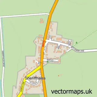
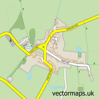
This Weston under Lizard street map is a detailed vector street map covering a 750m x 750m area. Select a larger area to create and download your own vector street map of Weston under Lizard.
The 750-metre map sample for Weston under Lizard covers 84 mapped buildings and approximately 6.5 km of road detail, of which 6 named roads are named. The wider area around Weston under Lizard features 1 tourism point of interest and 1 food and drink venue. To create a larger or custom map of Weston under Lizard, the map builder lets you define your own coverage area and download editable SVG, PDF and PNG files.
Create a larger editable map of Weston under Lizard
Choose any area you need and generate a high-quality vector map instantly. Perfect for print, planning, design, business and personal use.

This Weston under Lizard street map in Staffordshire is available as downloadable SVG, PDF and PNG map files, or as a printed map for planning, business, display, education, local information and design work. You can also create a larger custom map area using the map selector.
What this Weston under Lizard map sample shows
Weston under Lizard lies within Blymhill And Weston-Under-Lizard Cp parish, part of Wheaton Aston, Bishopswood And Lapley ward in the South Staffordshire District local authority area. The postcode geography for this area includes the TF postcode area, the TF11 postcode district and the TF11 8 postcode sector. Residents fall under the Nhs Staffordshire And Stoke-On-Trent Integrated Care Board for NHS services.
Local features near Weston under Lizard
Within 2 milesAmenities and services in and around Weston under Lizard.
Administrative and postcode information for Weston under Lizard
Weston under Lizard lies within Blymhill And Weston-Under-Lizard Cp parish, part of Wheaton Aston, Bishopswood And Lapley ward in the South Staffordshire District local authority area. The postcode geography for this area includes the TF postcode area, the TF11 postcode district and the TF11 8 postcode sector. Residents fall under the Nhs Staffordshire And Stoke-On-Trent Integrated Care Board for NHS services.
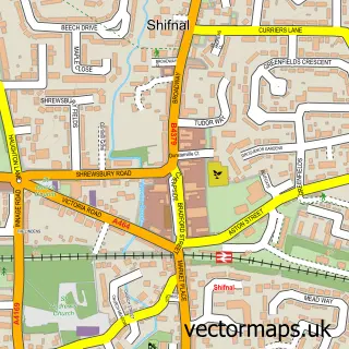
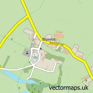
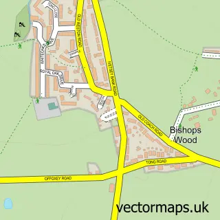
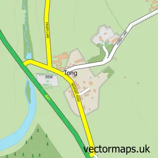
Nearby street map samples around Weston under Lizard

More street maps in Staffordshire
750 metre map area coverage
Boundary, postcode and point of interest information for the 750m x 750m rectangle centred on this sample map.
Boundaries containing map centre
Constituency: Stone, Great Wyrley and Penkridge Co Const
County: Staffordshire County
District: South Staffordshire District
Icb: NHS Staffordshire and Stoke-on-Trent ICB
Parish: Blymhill and Weston-under-Lizard CP
Police Force: staffordshire
Postcode District: TF11
Postcode Sector: TF11 8
Ward: Brewood, Coven & Blymhill Ward
Nearby boundaries intersecting sample
No additional intersecting boundaries found.
Postcode coverage
POI category counts
Anglican Church: 1
Art Museum: 1
Church Cathedral: 1
Environmental Conservation Organization: 1
Ev Charging Station: 1
Event Planning: 1
Foster Care Services: 1
Landmark And Historical Building: 1
Property Management: 1
Restaurant: 1
Sample points of interest
- Weston under Lizard S.Andrew
- Weston Park
- St Andrews Church, Weston under Lizard
- John S. Cooper
- Roam EV Charging Station
- Generate Live
- Sunflower Fostering
- Weston Park
- Bradford Rural Estates Ltd.
- The Granary Restaurant at Weston Park
- Rachel Bailey Photography
- Adrian Nicholls Web Designer
Create a larger editable map of Weston under Lizard
This sample shows only a 750 metre area. To create a larger map of Weston under Lizard, use our map builder to choose your own coverage area, add titles and download editable SVG, PDF and PNG files.
Create a custom map of Weston under Lizard