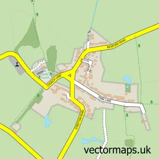
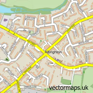
This Bishops Wood street map is a detailed vector street map covering a 750m x 750m area. Select a larger area to create and download your own vector street map of Bishops Wood.
The 750-metre map sample for Bishops Wood covers 142 mapped buildings and approximately 9.7 km of road detail, of which 13 named roads are named. The immediate area includes 1 school and 1 pub. The wider area around Bishops Wood features 2 tourism points of interest, 1 food and drink venue and 1 campsite within 2 miles. To create a larger or custom map of Bishops Wood, the map builder lets you define your own coverage area and download editable SVG, PDF and PNG files.
Create a larger editable map of Bishops Wood
Choose any area you need and generate a high-quality vector map instantly. Perfect for print, planning, design, business and personal use.

This Bishops Wood street map in Staffordshire is available as downloadable SVG, PDF and PNG map files, or as a printed map for planning, business, display, education, local information and design work. You can also create a larger custom map area using the map selector.
What this Bishops Wood map sample shows
Bishops Wood lies within Brewood And Coven Cp parish, part of Wheaton Aston, Bishopswood And Lapley ward in the South Staffordshire District local authority area. The postcode geography for this area includes the ST postcode area, the ST19 postcode district and the ST19 9 postcode sector. Residents fall under the Nhs Staffordshire And Stoke-On-Trent Integrated Care Board for NHS services.
Local features near Bishops Wood
Within 2 milesAmenities and services in and around Bishops Wood.
Administrative and postcode information for Bishops Wood
Bishops Wood lies within Brewood And Coven Cp parish, part of Wheaton Aston, Bishopswood And Lapley ward in the South Staffordshire District local authority area. The postcode geography for this area includes the ST postcode area, the ST19 postcode district and the ST19 9 postcode sector. Residents fall under the Nhs Staffordshire And Stoke-On-Trent Integrated Care Board for NHS services.
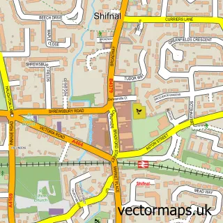
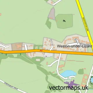
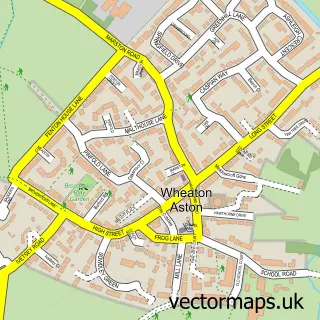
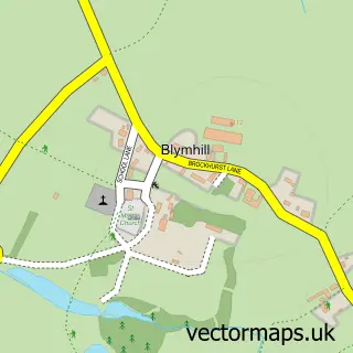
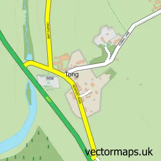
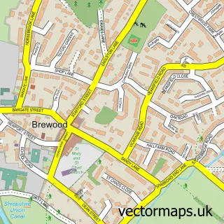
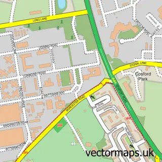
Nearby street map samples around Bishops Wood

More street maps in Staffordshire
750 metre map area coverage
Boundary, postcode and point of interest information for the 750m x 750m rectangle centred on this sample map.
Boundaries containing map centre
Constituency: Stone, Great Wyrley and Penkridge Co Const
County: Staffordshire County
District: South Staffordshire District
Icb: NHS Staffordshire and Stoke-on-Trent ICB
Parish: Brewood and Coven CP
Police Force: staffordshire
Postcode District: ST19
Postcode Sector: ST19 9
Ward: Brewood, Coven & Blymhill Ward
Nearby boundaries intersecting sample
Constituency: The Wrekin Co Const
District: Shropshire
Icb: NHS Shropshire Telford and Wrekin ICB
Parish: Blymhill and Weston-under-Lizard CP, Tong CP
Police Force: west mercia
Postcode coverage
POI category counts
Elementary School: 3
Appliance Repair Service: 1
Attractions And Activities: 1
Building Supply Store: 1
Contractor: 1
Education: 1
Event Planning: 1
Farm: 1
Hvac Supplier: 1
Landmark And Historical Building: 1
Sample points of interest
- Washer-Wise
- Back Lanes Bishops Wood
- GH Plumbing & Heating Services Ltd
- Rodger Griffiths
- Horizon Care & Education Group
- St Johns C of E First School
- St Johns Church of England First School
- St. John’s First School
- Bishops Wood Village Hall
- The Common
- D J Heating & Plumbing Services
- Bishops Wood
Create a larger editable map of Bishops Wood
This sample shows only a 750 metre area. To create a larger map of Bishops Wood, use our map builder to choose your own coverage area, add titles and download editable SVG, PDF and PNG files.
Create a custom map of Bishops Wood