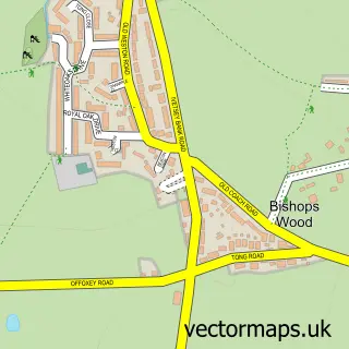
This Cosford street map is a detailed vector street map covering a 750m x 750m area. Select a larger area to create and download your own vector street map of Cosford.
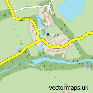
The 750-metre map sample for Cosford covers 141 mapped buildings and approximately 15.9 km of road detail, of which 22 named roads are named. The immediate area includes 1 GP surgery within 2 miles and 2 MOT stations within 2 miles. The wider area around Cosford features 4 food and drink venues. To create a larger or custom map of Cosford, the map builder lets you define your own coverage area and download editable SVG, PDF and PNG files.
Create a larger editable map of Cosford
Choose any area you need and generate a high-quality vector map instantly. Perfect for print, planning, design, business and personal use.

This Cosford street map in Shropshire is available as downloadable SVG, PDF and PNG map files, or as a printed map for planning, business, display, education, local information and design work. You can also create a larger custom map area using the map selector.
What this Cosford map sample shows
Cosford lies within Tong Cp parish, part of Shifnal South And Cosford ward in the Shropshire local authority area. The postcode geography for this area includes the TF postcode area, the TF11 postcode district and the TF11 8 postcode sector. Residents fall under the Nhs Shropshire, Telford And Wrekin Integrated Care Board for NHS services.
Local features near Cosford
Within 2 milesAmenities and services in and around Cosford.
Administrative and postcode information for Cosford
The local authority covering Cosford is Shropshire, within the county of Shropshire. The settlement lies within Shifnal South And Cosford ward and Tong Cp civil parish. The TF11 postcode district and TF11 8 postcode sector serve the immediate area. NHS provision in the area is delivered through The Shrewsbury And Telford Hospital Nhs Trust.
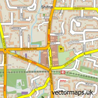
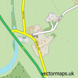
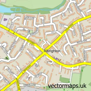
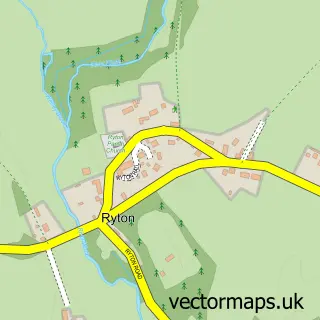
Nearby street map samples around Cosford

More street maps in Shropshire
750 metre map area coverage
Boundary, postcode and point of interest information for the 750m x 750m rectangle centred on this sample map.
Boundaries containing map centre
Constituency: The Wrekin Co Const
District: Shropshire
Icb: NHS Shropshire Telford and Wrekin ICB
Parish: Albrighton and Donington CP
Police Force: west mercia
Postcode District: WV7
Postcode Sector: WV7 3
Nearby boundaries intersecting sample
Postcode District: TF11
Postcode Sector: TF11 8
Postcode coverage
POI category counts
Convenience Store: 4
Gas Station: 3
Atms: 2
Cafe: 2
Coffee Shop: 2
Public And Government Association: 2
Armed Forces Branch: 1
Beverage Supplier: 1
Cabin: 1
Central Government Office: 1
Sample points of interest
- Sgts Mess, RAF Cosford
- BP - Cosford SF Connect, ALBRIGHTON
- RAF Cosford (ATMP Migration)
- Subway
- Hire This Ltd
- Spiders Webb Cafe
- Wild Bean Café
- 605 Sqn Reserves
- Costa Coffee
- Costa Express
- Costcutter
- M&S Simply Food
Create a larger editable map of Cosford
This sample shows only a 750 metre area. To create a larger map of Cosford, use our map builder to choose your own coverage area, add titles and download editable SVG, PDF and PNG files.
Create a custom map of Cosford