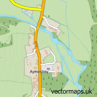
This Shobdon street map is a detailed vector street map covering a 750m x 750m area. Select a larger area to create and download your own vector street map of Shobdon.
The 750-metre map sample for Shobdon covers 176 mapped buildings and approximately 15.7 km of road detail, of which 7 named roads are named. The immediate area includes 1 school, 3 pubs and 1 MOT station within 2 miles. The wider area around Shobdon features 2 tourism points of interest, 3 food and drink venues and 1 campsite within 2 miles. To create a larger or custom map of Shobdon, the map builder lets you define your own coverage area and download editable SVG, PDF and PNG files.
Create a larger editable map of Shobdon
Choose any area you need and generate a high-quality vector map instantly. Perfect for print, planning, design, business and personal use.

This Shobdon street map in Herefordshire is available as downloadable SVG, PDF and PNG map files, or as a printed map for planning, business, display, education, local information and design work. You can also create a larger custom map area using the map selector.
What this Shobdon map sample shows
Shobdon lies within Shobdon Cp parish, part of Arrow ward in the County Of Herefordshire local authority area. The postcode geography for this area includes the HR postcode area, the HR6 postcode district and the HR6 9 postcode sector. Residents fall under the Nhs Herefordshire And Worcestershire Integrated Care Board for NHS services.
Local features near Shobdon
Within 2 milesAmenities and services in and around Shobdon.
Administrative and postcode information for Shobdon
Shobdon lies within Shobdon Cp parish, part of Arrow ward in the County Of Herefordshire local authority area. The postcode geography for this area includes the HR postcode area, the HR6 postcode district and the HR6 9 postcode sector. Residents fall under the Nhs Herefordshire And Worcestershire Integrated Care Board for NHS services.
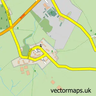
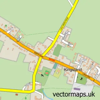
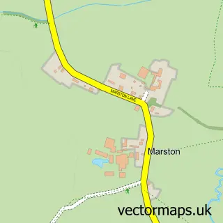
Nearby street map samples around Shobdon

More street maps in Herefordshire
750 metre map area coverage
Boundary, postcode and point of interest information for the 750m x 750m rectangle centred on this sample map.
Boundaries containing map centre
Constituency: North Herefordshire Co Const
District: County of Herefordshire
Icb: NHS Herefordshire and Worcestershire ICB
Parish: Shobdon CP
Police Force: west mercia
Postcode District: HR6
Postcode Sector: HR6 9
Ward: Arrow Ward
Nearby boundaries intersecting sample
No additional intersecting boundaries found.
Postcode coverage
POI category counts
Post Office: 3
Pub: 3
Beauty Salon: 1
Campground: 1
Elementary School: 1
Financial Service: 1
Gun And Ammo: 1
Home Service: 1
Laboratory Testing: 1
Landmark And Historical Building: 1
Sample points of interest
- Simply nails and beauty
- Pearl Lake Leisure Park
- Shobdon Primary School
- Zomma Bookkeeping
- Tony Morris Guns
- Muddy Boots Childminding
- Gwyn davies-tuning
- Shobdon
- Springfield Poultry
- NC Physiotherapy
- Shobdon Post Office
- Shobdon Post Office And Stores
Create a larger editable map of Shobdon
This sample shows only a 750 metre area. To create a larger map of Shobdon, use our map builder to choose your own coverage area, add titles and download editable SVG, PDF and PNG files.
Create a custom map of Shobdon