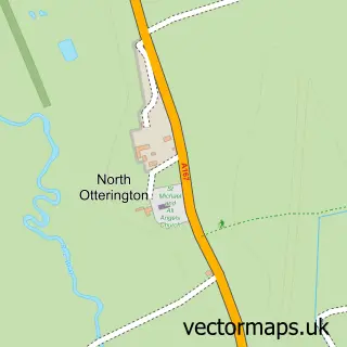
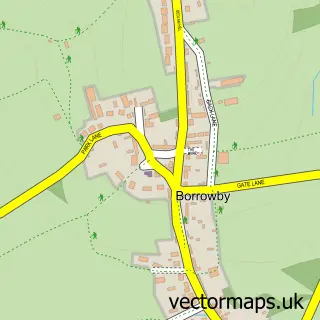
This South Otterington street map is a detailed vector street map covering a 750m x 750m area. Select a larger area to create and download your own vector street map of South Otterington.
The 750-metre map sample for South Otterington covers 135 mapped buildings and approximately 9.5 km of road detail, of which 5 named roads are named. The immediate area includes 1 school, 1 pub and 1 MOT station. The wider area around South Otterington features 1 food and drink venue and 1 campsite within 2 miles. To create a larger or custom map of South Otterington, the map builder lets you define your own coverage area and download editable SVG, PDF and PNG files.
Create a larger editable map of South Otterington
Choose any area you need and generate a high-quality vector map instantly. Perfect for print, planning, design, business and personal use.

This South Otterington street map in North Yorkshire is available as downloadable SVG, PDF and PNG map files, or as a printed map for planning, business, display, education, local information and design work. You can also create a larger custom map area using the map selector.
What this South Otterington map sample shows
South Otterington lies within South Otterington Cp parish, part of Morton-On-Swale ward in the North Yorkshire local authority area. The postcode geography for this area includes the DL postcode area, the DL7 postcode district and the DL7 9 postcode sector. Residents fall under the Nhs Humber And North Yorkshire Integrated Care Board for NHS services.
Local features near South Otterington
Within 2 milesAmenities and services in and around South Otterington.
Administrative and postcode information for South Otterington
South Otterington lies within South Otterington Cp parish, part of Morton-On-Swale ward in the North Yorkshire local authority area. The postcode geography for this area includes the DL postcode area, the DL7 postcode district and the DL7 9 postcode sector. Residents fall under the Nhs Humber And North Yorkshire Integrated Care Board for NHS services.
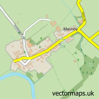
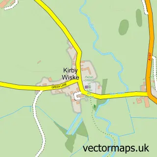
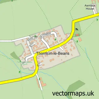
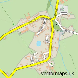
Nearby street map samples around South Otterington
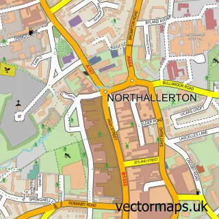

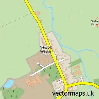
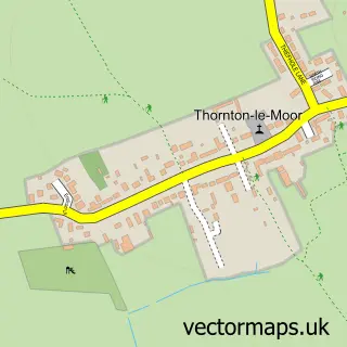
More street maps in North Yorkshire
750 metre map area coverage
Boundary, postcode and point of interest information for the 750m x 750m rectangle centred on this sample map.
Boundaries containing map centre
Constituency: Richmond and Northallerton Co Const
District: North Yorkshire
Icb: NHS Humber and North Yorkshire ICB
Parish: South Otterington CP
Police Force: north yorkshire
Postcode District: DL7
Postcode Sector: DL7 9
Nearby boundaries intersecting sample
No additional intersecting boundaries found.
Postcode coverage
POI category counts
Anglican Church: 1
Automotive: 1
Beauty Salon: 1
Car Dealer: 1
Community Center: 1
Elementary School: 1
Farm Equipment And Supply: 1
Landscaping: 1
Pet Services: 1
Pub: 1
Sample points of interest
- St Andrew
- Walkers Garage
- The Vanity Rooms
- Walkers Garage Ltd
- Village Hall for South Otterington, Newby Wiske & Maunby
- South Otterington Church of England VC Primary School
- J.Parlour & Son
- The Buffalo Company
- Hambleton Cat Care
- Otterington Shorthorn Inn
Create a larger editable map of South Otterington
This sample shows only a 750 metre area. To create a larger map of South Otterington, use our map builder to choose your own coverage area, add titles and download editable SVG, PDF and PNG files.
Create a custom map of South Otterington