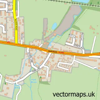
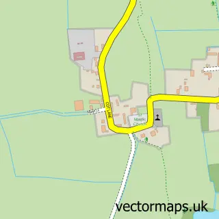
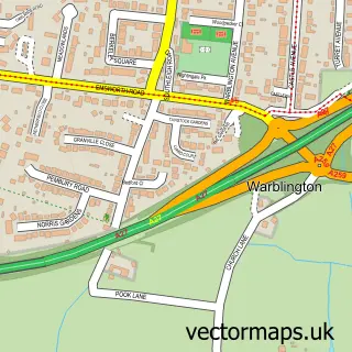
This Southbourne street map is a detailed vector street map covering a 750m x 750m area. Select a larger area to create and download your own vector street map of Southbourne.
The 750-metre map sample for Southbourne covers 468 mapped buildings and approximately 11.9 km of road detail, of which 28 named roads are named. The immediate area includes 2 schools, 1 railway station, 2 GP surgeries within 2 miles and 1 pub among other local services. The wider area around Southbourne features 2 food and drink venues and 1 campsite within 2 miles. To create a larger or custom map of Southbourne, the map builder lets you define your own coverage area and download editable SVG, PDF and PNG files.
Create a larger editable map of Southbourne
Choose any area you need and generate a high-quality vector map instantly. Perfect for print, planning, design, business and personal use.

This Southbourne street map in West Sussex is available as downloadable SVG, PDF and PNG map files, or as a printed map for planning, business, display, education, local information and design work. You can also create a larger custom map area using the map selector.
What this Southbourne map sample shows
Southbourne lies within Southbourne Cp parish, part of Southbourne ward in the Chichester District local authority area. The postcode geography for this area includes the PO postcode area, the PO10 postcode district and the PO10 8 postcode sector. Residents fall under the Nhs Sussex Integrated Care Board for NHS services.
Local features near Southbourne
Within 2 milesAmenities and services in and around Southbourne.
Administrative and postcode information for Southbourne
Southbourne lies within Southbourne Cp parish, part of Southbourne ward in the Chichester District local authority area. The postcode geography for this area includes the PO postcode area, the PO10 postcode district and the PO10 8 postcode sector. Residents fall under the Nhs Sussex Integrated Care Board for NHS services.
Nearby street map samples around Southbourne

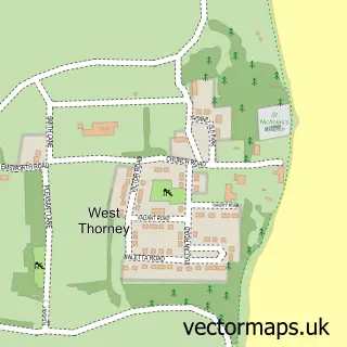
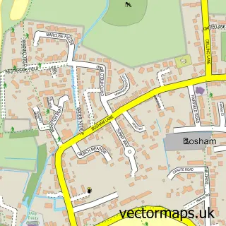
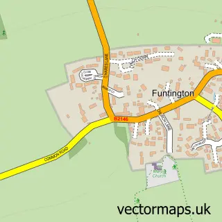
More street maps in West Sussex
750 metre map area coverage
Boundary, postcode and point of interest information for the 750m x 750m rectangle centred on this sample map.
Boundaries containing map centre
Constituency: Chichester Co Const
County: West Sussex County
District: Chichester District
Icb: NHS Surrey and Sussex ICB
Parish: Southbourne CP
Police Force: sussex
Postcode District: PO10
Postcode Sector: PO10 8
Ward: Southbourne Ward
Nearby boundaries intersecting sample
Postcode District: PO18
Postcode Sector: PO18 8
Postcode coverage
POI category counts
Retirement Home: 4
Grocery Store: 3
Veterinarian: 3
Anglican Church: 2
Car Dealer: 2
Elementary School: 2
Pet Groomer: 2
Pharmacy: 2
Professional Services: 2
Shipping Center: 2
Sample points of interest
- St John the Evangelist Church
- St John's, Southbourne
- B & R Services
- Southbourne Service Station
- FarmShop Bakehouse
- Contact Motors
- Contact Motors
- Blue Fig
- Saints John's Church Centre
- Southbourne Village Hall
- Moore’s Traditional Funeral Directors
- Post Office Travel Money
Create a larger editable map of Southbourne
This sample shows only a 750 metre area. To create a larger map of Southbourne, use our map builder to choose your own coverage area, add titles and download editable SVG, PDF and PNG files.
Create a custom map of Southbourne