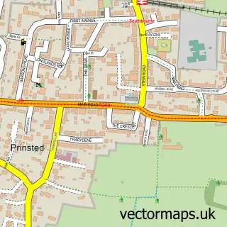
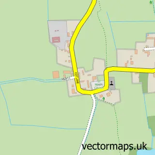
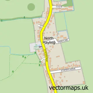
This Prinsted street map is a detailed vector street map covering a 750m x 750m area. Select a larger area to create and download your own vector street map of Prinsted.
The 750-metre map sample for Prinsted covers 380 mapped buildings and approximately 11.1 km of road detail, of which 22 named roads are named. The immediate area includes 2 GP surgeries within 2 miles and 7 MOT stations within 2 miles. The wider area around Prinsted features 1 tourism point of interest and 1 campsite within 2 miles. To create a larger or custom map of Prinsted, the map builder lets you define your own coverage area and download editable SVG, PDF and PNG files.
Create a larger editable map of Prinsted
Choose any area you need and generate a high-quality vector map instantly. Perfect for print, planning, design, business and personal use.

This Prinsted street map in West Sussex is available as downloadable SVG, PDF and PNG map files, or as a printed map for planning, business, display, education, local information and design work. You can also create a larger custom map area using the map selector.
What this Prinsted map sample shows
Prinsted lies within Southbourne Cp parish, part of Southbourne ward in the Chichester District local authority area. The postcode geography for this area includes the PO postcode area, the PO10 postcode district and the PO10 8 postcode sector. Residents fall under the Nhs Sussex Integrated Care Board for NHS services.
Local features near Prinsted
Within 2 milesAmenities and services in and around Prinsted.
Administrative and postcode information for Prinsted
The local authority covering Prinsted is Chichester District, within the county of West Sussex. The settlement lies within Southbourne ward and Southbourne Cp civil parish. The PO10 postcode district and PO10 8 postcode sector serve the immediate area. NHS provision in the area is delivered through University Hospitals Sussex Nhs Foundation Trust.
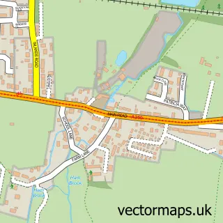
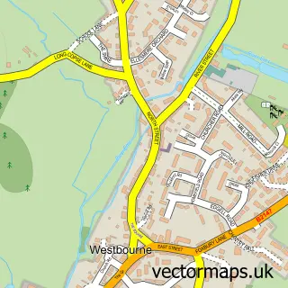
Nearby street map samples around Prinsted

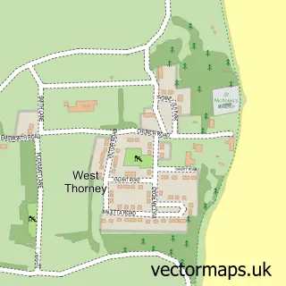
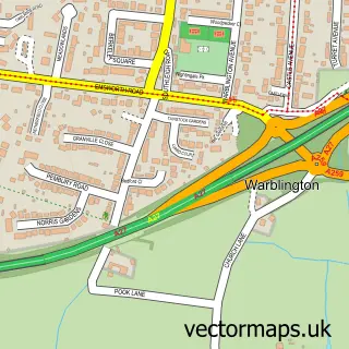
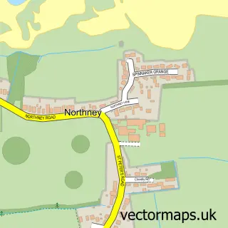
More street maps in West Sussex
750 metre map area coverage
Boundary, postcode and point of interest information for the 750m x 750m rectangle centred on this sample map.
Boundaries containing map centre
Constituency: Chichester Co Const
County: West Sussex County
District: Chichester District
Icb: NHS Surrey and Sussex ICB
Parish: Southbourne CP
Police Force: sussex
Postcode District: PO10
Postcode Sector: PO10 8
Ward: Southbourne Ward
Nearby boundaries intersecting sample
No additional intersecting boundaries found.
Postcode coverage
POI category counts
Veterinarian: 3
Retirement Home: 2
Shipping Center: 2
Appliance Repair Service: 1
Automotive Repair: 1
Bakery: 1
Currency Exchange: 1
Energy Company: 1
Event Planning: 1
Gas Station: 1
Sample points of interest
- B & R Services
- Southbourne Service Station
- FarmShop Bakehouse
- Post Office Travel Money
- Connected Kerb Charging Station
- Tuppenny Barn Weddings
- Murco
- The Co-operative Food
- Silver Spray Interiors
- Primary Care Surveyors
- Prinsted
- Grace Lodge
Create a larger editable map of Prinsted
This sample shows only a 750 metre area. To create a larger map of Prinsted, use our map builder to choose your own coverage area, add titles and download editable SVG, PDF and PNG files.
Create a custom map of Prinsted