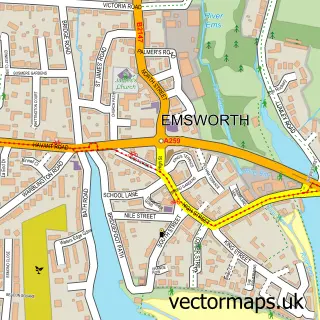
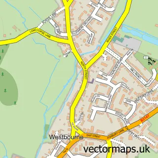
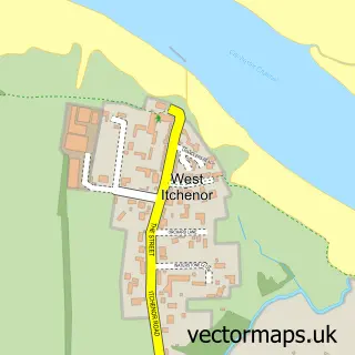
This Nutbourne street map is a detailed vector street map covering a 750m x 750m area. Select a larger area to create and download your own vector street map of Nutbourne.
The 750-metre map sample for Nutbourne covers 257 mapped buildings and approximately 7.3 km of road detail, of which 9 named roads are named. The immediate area includes 2 GP surgeries within 2 miles and 5 MOT stations within 2 miles. The wider area around Nutbourne features 1 tourism point of interest, 4 food and drink venues and 1 campsite within 2 miles. To create a larger or custom map of Nutbourne, the map builder lets you define your own coverage area and download editable SVG, PDF and PNG files.
Create a larger editable map of Nutbourne
Choose any area you need and generate a high-quality vector map instantly. Perfect for print, planning, design, business and personal use.

This Nutbourne street map in West Sussex is available as downloadable SVG, PDF and PNG map files, or as a printed map for planning, business, display, education, local information and design work. You can also create a larger custom map area using the map selector.
What this Nutbourne map sample shows
Nutbourne lies within Southbourne Cp parish, part of Southbourne ward in the Chichester District local authority area. The postcode geography for this area includes the PO postcode area, the PO18 postcode district and the PO18 8 postcode sector. Residents fall under the Nhs Sussex Integrated Care Board for NHS services.
Local features near Nutbourne
Within 2 milesAmenities and services in and around Nutbourne.
Administrative and postcode information for Nutbourne
Nutbourne lies within Southbourne Cp parish, part of Southbourne ward in the Chichester District local authority area. The postcode geography for this area includes the PO postcode area, the PO18 postcode district and the PO18 8 postcode sector. Residents fall under the Nhs Sussex Integrated Care Board for NHS services.
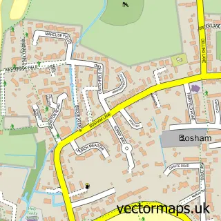
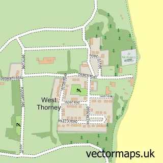
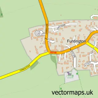
Nearby street map samples around Nutbourne

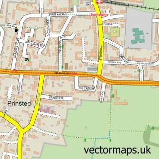
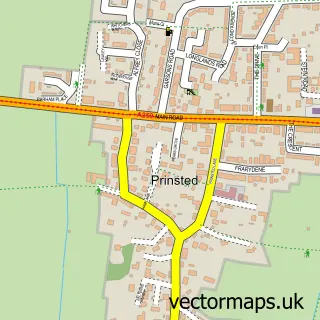
More street maps in West Sussex
750 metre map area coverage
Boundary, postcode and point of interest information for the 750m x 750m rectangle centred on this sample map.
Boundaries containing map centre
Constituency: Chichester Co Const
County: West Sussex County
District: Chichester District
Icb: NHS Surrey and Sussex ICB
Parish: Southbourne CP
Police Force: sussex
Postcode District: PO18
Postcode Sector: PO18 8
Ward: Southbourne Ward
Nearby boundaries intersecting sample
Parish: Chidham and Hambrook CP
Ward: Harbour Villages Ward
Postcode coverage
POI category counts
Gas Station: 3
Chinese Restaurant: 2
Coffee Shop: 2
Package Locker: 2
Accountant: 1
Auto Parts And Supply Store: 1
Automotive Repair: 1
Business Management Services: 1
Cafe: 1
Campground: 1
Sample points of interest
- Pink Mango Accountants
- Cartakeback
- G & R Harris
- Thailand Retreats Holiday Villas
- Mamawu Cafe
- J M Caravans
- The Mini Showroom
- Beijing Palace
- Bejing Palace
- Costa Coffee
- Costa Express
- Integrated Training & Consultancy
Create a larger editable map of Nutbourne
This sample shows only a 750 metre area. To create a larger map of Nutbourne, use our map builder to choose your own coverage area, add titles and download editable SVG, PDF and PNG files.
Create a custom map of Nutbourne