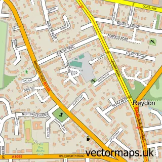
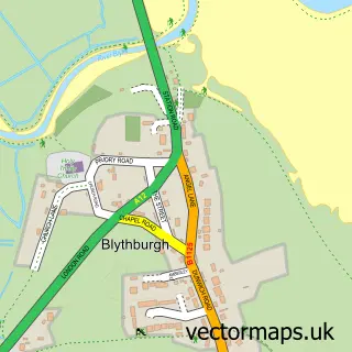
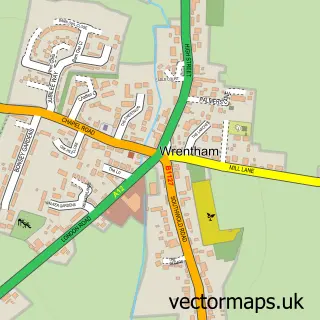
This Southwold street map is a detailed vector street map covering a 750m x 750m area. Select a larger area to create and download your own vector street map of Southwold.
The 750-metre map sample for Southwold covers 257 mapped buildings and approximately 16.6 km of road detail, of which 46 named roads are named. The immediate area includes 1 school, 1 GP surgery within 2 miles, 6 pubs and 1 MOT station within 2 miles. The wider area around Southwold features 8 tourism points of interest, 19 food and drink venues and 9 hotels. To create a larger or custom map of Southwold, the map builder lets you define your own coverage area and download editable SVG, PDF and PNG files.
Create a larger editable map of Southwold
Choose any area you need and generate a high-quality vector map instantly. Perfect for print, planning, design, business and personal use.

This Southwold street map in Suffolk is available as downloadable SVG, PDF and PNG map files, or as a printed map for planning, business, display, education, local information and design work. You can also create a larger custom map area using the map selector.
What this Southwold map sample shows
Southwold lies within Southwold Cp parish, part of Southwold ward in the East Suffolk District local authority area. The postcode geography for this area includes the IP postcode area, the IP18 postcode district and the IP18 6 postcode sector. Residents fall under the Nhs Norfolk And Waveney Integrated Care Board for NHS services.
Local features near Southwold
Within 2 milesAmenities and services in and around Southwold.
Administrative and postcode information for Southwold
The local authority covering Southwold is East Suffolk District, within the county of Suffolk. The settlement lies within Southwold ward and Southwold Cp civil parish. The IP18 postcode district and IP18 6 postcode sector serve the immediate area. NHS provision in the area is delivered through James Paget University Hospitals Nhs Foundation Trust.
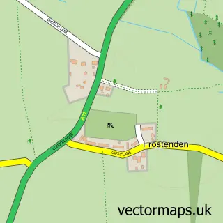
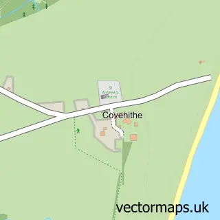
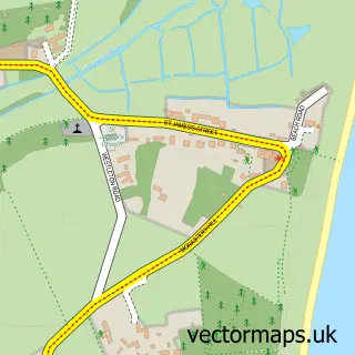
Nearby street map samples around Southwold

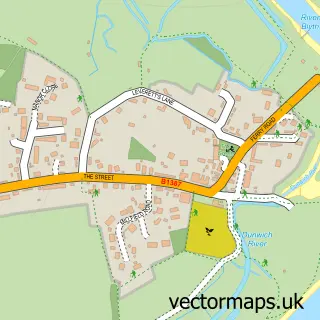
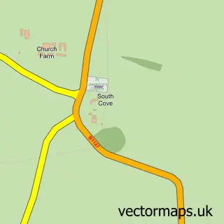
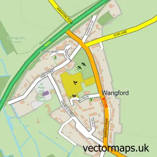
More street maps in Suffolk
750 metre map area coverage
Boundary, postcode and point of interest information for the 750m x 750m rectangle centred on this sample map.
Boundaries containing map centre
Constituency: Suffolk Coastal Co Const
County: Suffolk County
District: East Suffolk District
Icb: NHS Norfolk and Waveney ICB
Parish: Southwold CP
Police Force: suffolk
Postcode District: IP18
Postcode Sector: IP18 6
Ward: Southwold Ward
Nearby boundaries intersecting sample
No additional intersecting boundaries found.
Postcode coverage
POI category counts
Clothing Store: 15
Cafe: 9
Hotel: 9
Holiday Rental Home: 7
Pub: 6
Bakery: 5
Bookstore: 5
Flowers And Gifts Shop: 5
Real Estate Agent: 5
Bed And Breakfast: 4
Sample points of interest
- Spital, Louise
- St Felix/RPT Tennis Centre of Excellence
- Spring
- Southwold, St Edmund, King & Martyr
- Cornucopia Antiques
- Red Eyed Dove
- St Elizabeth Hospice Charity Shop
- The Retreat
- Paul Bradley Architecture
- Buckenham Galleries
- Kipper gallery
- Serena Hall Gallery
Create a larger editable map of Southwold
This sample shows only a 750 metre area. To create a larger map of Southwold, use our map builder to choose your own coverage area, add titles and download editable SVG, PDF and PNG files.
Create a custom map of Southwold