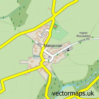
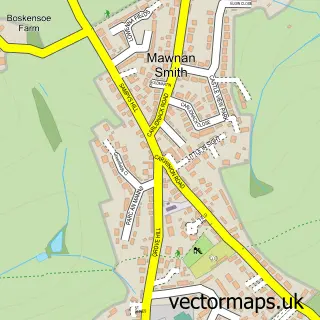
This St. Keverne street map is a detailed vector street map covering a 750m x 750m area. Select a larger area to create and download your own vector street map of St. Keverne.
The 750-metre map sample for St. Keverne covers 225 mapped buildings and approximately 9.5 km of road detail, of which 19 named roads are named. The immediate area includes 1 school, 1 GP surgery, 2 pubs and 1 MOT station. The wider area around St. Keverne features 1 tourism point of interest, 3 food and drink venues and 2 campsites within 2 miles. To create a larger or custom map of St. Keverne, the map builder lets you define your own coverage area and download editable SVG, PDF and PNG files.
Create a larger editable map of St. Keverne
Choose any area you need and generate a high-quality vector map instantly. Perfect for print, planning, design, business and personal use.

This St. Keverne street map in Cornwall is available as downloadable SVG, PDF and PNG map files, or as a printed map for planning, business, display, education, local information and design work. You can also create a larger custom map area using the map selector.
What this St. Keverne map sample shows
St. Keverne lies within St. Keverne Cp parish, part of St Keverne And Meneage ward in the Cornwall local authority area. The postcode geography for this area includes the TR postcode area, the TR12 postcode district and the TR12 6 postcode sector. Residents fall under the Nhs Cornwall And The Isles Of Scilly Integrated Care Board for NHS services.
Local features near St. Keverne
Within 2 milesAmenities and services in and around St. Keverne.
Administrative and postcode information for St. Keverne
The local authority covering St. Keverne is Cornwall, within the county of Cornwall. The settlement lies within St Keverne And Meneage ward and St. Keverne Cp civil parish. The TR12 postcode district and TR12 6 postcode sector serve the immediate area. NHS provision in the area is delivered through Royal Cornwall Hospitals Nhs Trust.
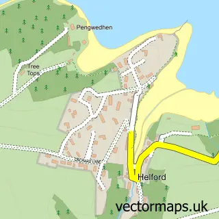
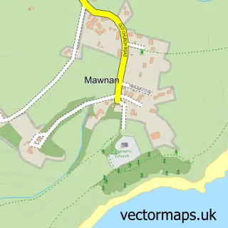
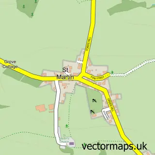
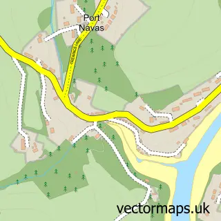
Nearby street map samples around St. Keverne

More street maps in Cornwall
750 metre map area coverage
Boundary, postcode and point of interest information for the 750m x 750m rectangle centred on this sample map.
Boundaries containing map centre
Constituency: St. Ives Co Const
District: Cornwall
Icb: NHS Cornwall and the Isles of Scilly ICB
Parish: St. Keverne CP
Police Force: devon and cornwall
Postcode District: TR12
Postcode Sector: TR12 6
Nearby boundaries intersecting sample
No additional intersecting boundaries found.
Postcode coverage
POI category counts
Convenience Store: 2
Doctor: 2
Pub: 2
Anglican Church: 1
Atms: 1
Automotive Repair: 1
Bed And Breakfast: 1
Building Supply Store: 1
Butcher Shop: 1
Church Cathedral: 1
Sample points of interest
- St Keverne Parish Church : St Keverne
- Wessex Retail Ltd - St Keverne, St Keverne
- Graham's Garage
- Old Temperance House
- Diamond Shine Cleaning Services
- Vincent Family Butchers
- St. Keverne Church
- St Keverne Parish Hall
- St Keverne Forget-Me-Not Memory Cafe
- Londis
- SPAR St. Keverne
- K Gearing
Create a larger editable map of St. Keverne
This sample shows only a 750 metre area. To create a larger map of St. Keverne, use our map builder to choose your own coverage area, add titles and download editable SVG, PDF and PNG files.
Create a custom map of St. Keverne