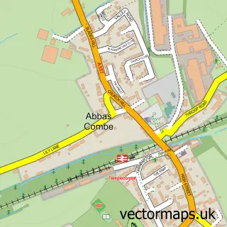
This Stalbridge street map is a detailed vector street map covering a 750m x 750m area. Select a larger area to create and download your own vector street map of Stalbridge.
The 750-metre map sample for Stalbridge covers 521 mapped buildings and approximately 16.3 km of road detail, of which 36 named roads are named. The immediate area includes 1 school, 1 pub and 1 MOT station, with 2 within 2 miles. The wider area around Stalbridge features 1 tourism point of interest, 5 food and drink venues and 1 campsite within 2 miles. To create a larger or custom map of Stalbridge, the map builder lets you define your own coverage area and download editable SVG, PDF and PNG files.
Create a larger editable map of Stalbridge
Choose any area you need and generate a high-quality vector map instantly. Perfect for print, planning, design, business and personal use.

This Stalbridge street map in Dorset is available as downloadable SVG, PDF and PNG map files, or as a printed map for planning, business, display, education, local information and design work. You can also create a larger custom map area using the map selector.
What this Stalbridge map sample shows
Stalbridge lies within Stalbridge Cp parish, part of Stalbridge & Marnhull ward in the Dorset local authority area. The postcode geography for this area includes the DT postcode area, the DT10 postcode district and the DT10 2 postcode sector. Residents fall under the Nhs Dorset Integrated Care Board for NHS services.
Local features near Stalbridge
Within 2 milesAmenities and services in and around Stalbridge.
Administrative and postcode information for Stalbridge
The local authority covering Stalbridge is Dorset, within the county of Dorset. The settlement lies within Stalbridge & Marnhull ward and Stalbridge Cp civil parish. The DT10 postcode district and DT10 2 postcode sector serve the immediate area. NHS provision in the area is delivered through Dorset County Hospital Nhs Foundation Trust.
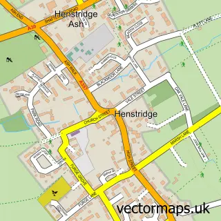
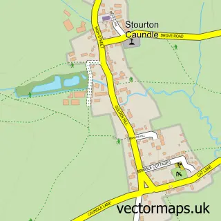
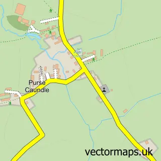
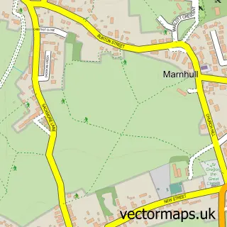
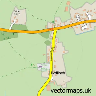
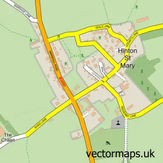
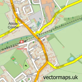
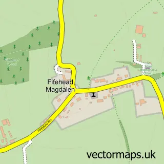
Nearby street map samples around Stalbridge

More street maps in Dorset
750 metre map area coverage
Boundary, postcode and point of interest information for the 750m x 750m rectangle centred on this sample map.
Boundaries containing map centre
Constituency: North Dorset Co Const
District: Dorset
Icb: NHS Dorset ICB
Parish: Stalbridge CP
Police Force: dorset
Postcode District: DT10
Postcode Sector: DT10 2
Ward: Stalbridge & Marnhull Ward
Nearby boundaries intersecting sample
No additional intersecting boundaries found.
Postcode coverage
POI category counts
Professional Services: 4
Automotive Repair: 3
General Dentistry: 3
Building Supply Store: 2
Butcher Shop: 2
Cafe: 2
Fabric Store: 2
Gas Station: 2
Library: 2
Party Equipment Rental: 2
Sample points of interest
- Evans & Co
- Sanders Electrical
- Guggleton Farm Arts
- Dike & Son Limited (Protected) (ERF)
- Ryan's Vehicle Repairs
- T J Welding
- T J Welding Vehicle Repairs
- NatWest
- Stalbridge Arms Hotel
- The Beauty Barn
- The Kutting Station
- Brew Bros
Create a larger editable map of Stalbridge
This sample shows only a 750 metre area. To create a larger map of Stalbridge, use our map builder to choose your own coverage area, add titles and download editable SVG, PDF and PNG files.
Create a custom map of Stalbridge