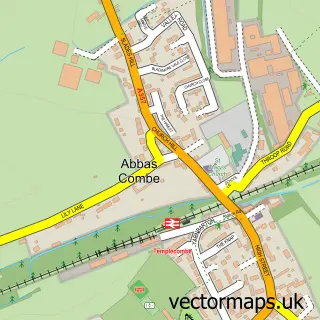
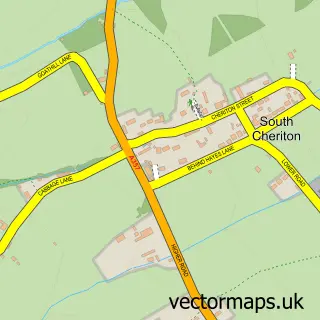
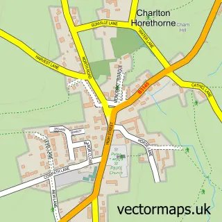
This Templecombe street map is a detailed vector street map covering a 750m x 750m area. Select a larger area to create and download your own vector street map of Templecombe.
The 750-metre map sample for Templecombe covers 300 mapped buildings and approximately 12.2 km of road detail, of which 19 named roads are named. The immediate area includes 1 school, 1 railway station and 2 MOT stations within 2 miles. The wider area around Templecombe features 1 food and drink venue. To create a larger or custom map of Templecombe, the map builder lets you define your own coverage area and download editable SVG, PDF and PNG files.
Create a larger editable map of Templecombe
Choose any area you need and generate a high-quality vector map instantly. Perfect for print, planning, design, business and personal use.

This Templecombe street map in Somerset is available as downloadable SVG, PDF and PNG map files, or as a printed map for planning, business, display, education, local information and design work. You can also create a larger custom map area using the map selector.
What this Templecombe map sample shows
Templecombe lies within Abbas And Templecombe Cp parish, part of Blackmoor Vale ward in the Somerset local authority area. The postcode geography for this area includes the BA postcode area, the BA8 postcode district and the BA8 0 postcode sector. Residents fall under the Nhs Somerset Integrated Care Board for NHS services.
Local features near Templecombe
Within 2 milesAmenities and services in and around Templecombe.
Administrative and postcode information for Templecombe
The local authority covering Templecombe is Somerset, within the county of Somerset. The settlement lies within Blackmoor Vale ward and Abbas And Templecombe Cp civil parish. The BA8 postcode district and BA8 0 postcode sector serve the immediate area. NHS provision in the area is delivered through Yeovil District Hospital Nhs Foundation Trust.
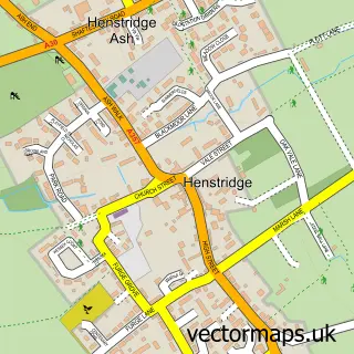
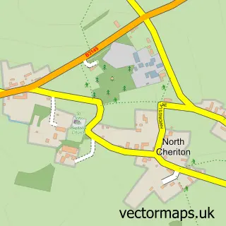
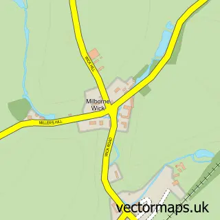
Nearby street map samples around Templecombe
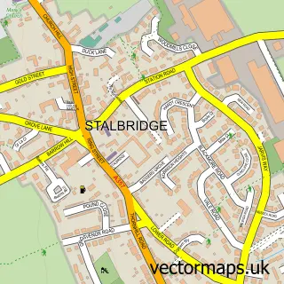

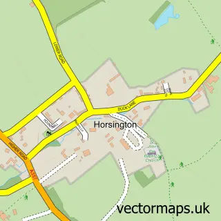
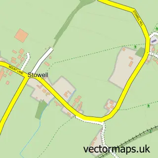
More street maps in Somerset
750 metre map area coverage
Boundary, postcode and point of interest information for the 750m x 750m rectangle centred on this sample map.
Boundaries containing map centre
Constituency: Glastonbury and Somerton Co Const
District: Somerset
Icb: NHS Somerset ICB
Parish: Abbas and Templecombe CP
Police Force: avon and somerset
Postcode District: BA8
Postcode Sector: BA8 0
Nearby boundaries intersecting sample
No additional intersecting boundaries found.
Postcode coverage
POI category counts
Church Cathedral: 2
Elementary School: 2
Real Estate Agent: 2
Train Station: 2
Airport: 1
Anglican Church: 1
Arts And Entertainment: 1
Automotive Parts And Accessories: 1
Building Supply Store: 1
Cafe: 1
Sample points of interest
- Henstridge Helicopter Flights
- St Mary's (The Blessed Virgin Mary), Abbas & Templecombe
- Templecombe International Medieval Pageant
- Vanarack Automotive Accessories
- Dylan Faber Roofing Com
- Bunters of Templecombe
- St Mary's Church
- Templecombe United Reformed Church
- Mintern Building & Landscaping
- Co-op Food
- Templecombe Surgery
- Abbas & Templecombe C of E Primary School
Create a larger editable map of Templecombe
This sample shows only a 750 metre area. To create a larger map of Templecombe, use our map builder to choose your own coverage area, add titles and download editable SVG, PDF and PNG files.
Create a custom map of Templecombe