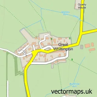
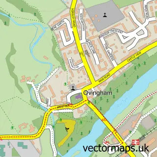
This Stamfordham street map is a detailed vector street map covering a 750m x 750m area. Select a larger area to create and download your own vector street map of Stamfordham.
The 750-metre map sample for Stamfordham covers 101 mapped buildings and approximately 13.2 km of road detail, of which 7 named roads are named. The immediate area includes 1 school and 1 pub. The wider area around Stamfordham features 1 food and drink venue and 1 hotel. To create a larger or custom map of Stamfordham, the map builder lets you define your own coverage area and download editable SVG, PDF and PNG files.
Create a larger editable map of Stamfordham
Choose any area you need and generate a high-quality vector map instantly. Perfect for print, planning, design, business and personal use.

This Stamfordham street map in Northumberland is available as downloadable SVG, PDF and PNG map files, or as a printed map for planning, business, display, education, local information and design work. You can also create a larger custom map area using the map selector.
What this Stamfordham map sample shows
Stamfordham lies within Stamfordham Cp parish, part of Ponteland West ward in the Northumberland local authority area. The postcode geography for this area includes the NE postcode area, the NE18 postcode district and the NE18 0 postcode sector. Residents fall under the Nhs North East And North Cumbria Integrated Care Board for NHS services.
Local features near Stamfordham
Within 2 milesAmenities and services in and around Stamfordham.
Administrative and postcode information for Stamfordham
Stamfordham lies within Stamfordham Cp parish, part of Ponteland West ward in the Northumberland local authority area. The postcode geography for this area includes the NE postcode area, the NE18 postcode district and the NE18 0 postcode sector. Residents fall under the Nhs North East And North Cumbria Integrated Care Board for NHS services.
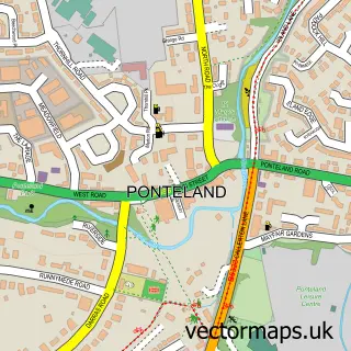
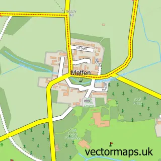
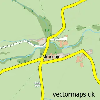
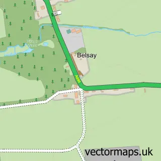
Nearby street map samples around Stamfordham

More street maps in Northumberland
750 metre map area coverage
Boundary, postcode and point of interest information for the 750m x 750m rectangle centred on this sample map.
Boundaries containing map centre
Constituency: Hexham Co Const
District: Northumberland
Icb: NHS North East and North Cumbria ICB
Parish: Stamfordham CP
Police Force: northumberland
Postcode District: NE18
Postcode Sector: NE18 0
Nearby boundaries intersecting sample
No additional intersecting boundaries found.
Postcode coverage
POI category counts
Doctor: 2
Anglican Church: 1
Building Supply Store: 1
Church Cathedral: 1
Community Center: 1
Elementary School: 1
Hotel: 1
Kids Recreation And Party: 1
Medical Supply: 1
Pet Services: 1
Sample points of interest
- Stamfordham: St Mary the Virgin
- J D Plasterers
- St Mary's Church
- Stamfordham Village Hall & Playing Fields
- Closed
- Stamfordham Surgery
- Stamfordham Primary School
- The Bay Horse
- Collingwood Marquees
- Derwent Healthcare Ltd
- Mainsbank Farm Grazing
- Swinburne Arms - Stamfordham
Create a larger editable map of Stamfordham
This sample shows only a 750 metre area. To create a larger map of Stamfordham, use our map builder to choose your own coverage area, add titles and download editable SVG, PDF and PNG files.
Create a custom map of Stamfordham