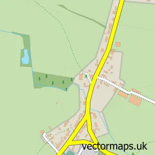
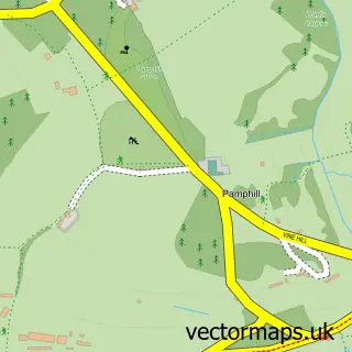
This Stanbridge street map is a detailed vector street map covering a 750m x 750m area. Select a larger area to create and download your own vector street map of Stanbridge.
The 750-metre map sample for Stanbridge covers 27 mapped buildings and approximately 5.3 km of road detail. The immediate area includes 1 MOT station. The wider area around Stanbridge features 1 campsite within 2 miles. To create a larger or custom map of Stanbridge, the map builder lets you define your own coverage area and download editable SVG, PDF and PNG files.
Create a larger editable map of Stanbridge
Choose any area you need and generate a high-quality vector map instantly. Perfect for print, planning, design, business and personal use.

This Stanbridge street map in Dorset is available as downloadable SVG, PDF and PNG map files, or as a printed map for planning, business, display, education, local information and design work. You can also create a larger custom map area using the map selector.
What this Stanbridge map sample shows
Stanbridge lies within Hinton Cp parish, part of Stour & Allen Vale ward in the Dorset local authority area. The postcode geography for this area includes the BH postcode area, the BH21 postcode district and the BH21 4 postcode sector. Residents fall under the Nhs Dorset Integrated Care Board for NHS services.
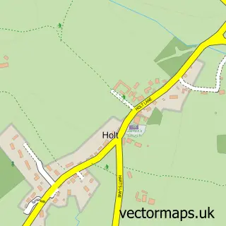
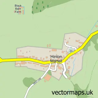
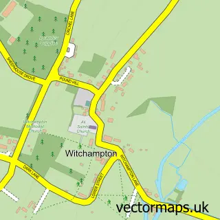
Local features near Stanbridge
Within 2 milesAmenities and services in and around Stanbridge.
Administrative and postcode information for Stanbridge
Stanbridge lies within Hinton Cp parish, part of Stour & Allen Vale ward in the Dorset local authority area. The postcode geography for this area includes the BH postcode area, the BH21 postcode district and the BH21 4 postcode sector. Residents fall under the Nhs Dorset Integrated Care Board for NHS services.
Nearby street map samples around Stanbridge

More street maps in Dorset
750 metre map area coverage
Boundary, postcode and point of interest information for the 750m x 750m rectangle centred on this sample map.
Boundaries containing map centre
Constituency: Mid Dorset and North Poole Co Const
District: Dorset
Icb: NHS Dorset ICB
Parish: Hinton CP
Police Force: dorset
Postcode District: BH21
Postcode Sector: BH21 4
Ward: Stour & Allen Vale Ward
Nearby boundaries intersecting sample
Parish: Holt CP, Pamphill CP
Postcode coverage
POI category counts
Car Dealer: 2
Automotive: 1
Automotive Repair: 1
Brewery: 1
Used Car Dealer: 1
Sample points of interest
- Gary Angell Racing Ltd.
- Nosv W
- Brewers Folly Brewery
- Douglass Motors
- Nosvw
- Douglass Motors
Create a larger editable map of Stanbridge
This sample shows only a 750 metre area. To create a larger map of Stanbridge, use our map builder to choose your own coverage area, add titles and download editable SVG, PDF and PNG files.
Create a custom map of Stanbridge