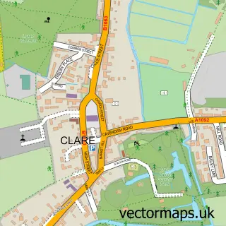
This Stoke-by-Clare street map is a detailed vector street map covering a 750m x 750m area. Select a larger area to create and download your own vector street map of Stoke-by-Clare.
The 750-metre map sample for Stoke-by-Clare covers 145 mapped buildings and approximately 7.6 km of road detail, of which 4 named roads are named. The immediate area includes 1 GP surgery within 2 miles and 1 pub. The wider area around Stoke-by-Clare features 1 food and drink venue. To create a larger or custom map of Stoke-by-Clare, the map builder lets you define your own coverage area and download editable SVG, PDF and PNG files.
Create a larger editable map of Stoke-by-Clare
Choose any area you need and generate a high-quality vector map instantly. Perfect for print, planning, design, business and personal use.

This Stoke-by-Clare street map in Suffolk is available as downloadable SVG, PDF and PNG map files, or as a printed map for planning, business, display, education, local information and design work. You can also create a larger custom map area using the map selector.
What this Stoke-by-Clare map sample shows
Stoke-by-Clare lies within Stoke-By-Clare Cp parish, part of Clare, Hundon & Kedington ward in the West Suffolk District local authority area. The postcode geography for this area includes the CO postcode area, the CO10 postcode district and the CO10 8 postcode sector. Residents fall under the Nhs Suffolk And North East Essex Integrated Care Board for NHS services.
Local features near Stoke-by-Clare
Within 2 milesAmenities and services in and around Stoke-by-Clare.
Administrative and postcode information for Stoke-by-Clare
The local authority covering Stoke-by-Clare is West Suffolk District, within the county of Suffolk. The settlement lies within Clare, Hundon & Kedington ward and Stoke-By-Clare Cp civil parish. The CO10 postcode district and CO10 8 postcode sector serve the immediate area. NHS provision in the area is delivered through West Suffolk Nhs Foundation Trust.
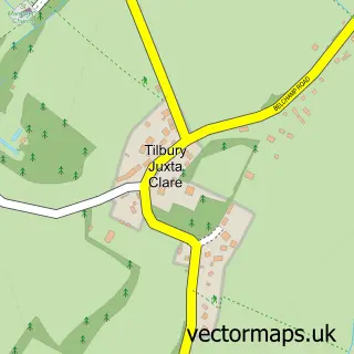
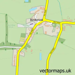
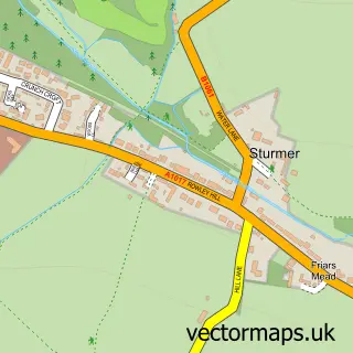
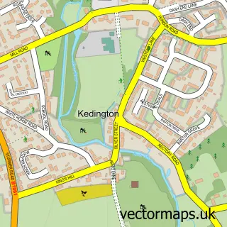
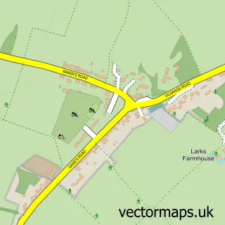
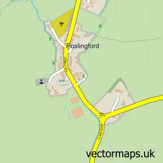
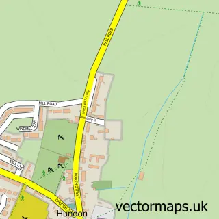
Nearby street map samples around Stoke-by-Clare

More street maps in Suffolk
750 metre map area coverage
Boundary, postcode and point of interest information for the 750m x 750m rectangle centred on this sample map.
Boundaries containing map centre
Constituency: West Suffolk Co Const
County: Suffolk County
District: West Suffolk District
Icb: NHS Essex ICB
Parish: Stoke-by-Clare CP
Police Force: suffolk
Postcode District: CO10
Postcode Sector: CO10 8
Ward: Clare, Hundon & Kedington Ward
Nearby boundaries intersecting sample
Constituency: Braintree Co Const
County: Essex County
District: Braintree District
Parish: Ashen CP
Ward: Stour Valley North Ward
Postcode coverage
POI category counts
Post Office: 3
Anglican Church: 1
Bed And Breakfast: 1
Engineering Services: 1
Equestrian Facility: 1
Gift Shop: 1
Hvac Services: 1
Hvac Supplier: 1
Laboratory Testing: 1
Pet Boarding: 1
Sample points of interest
- Stoke by Clare, St John the Baptist
- Pickwick House - Bed & Breakfast
- Anglian P.H.E Ltd.
- Stoke by Clare Equestrian Centre
- The Master Herbalists
- D B Air Solutions LTD
- D B Air Solutions Ltd.
- Testelec Electrical Testing
- Waterhall Boarding Kennels & Cattery
- Anglianphe LTD Plumbing heating and electrics
- Post Office
- Post Office-Stoke-by-Clare
Create a larger editable map of Stoke-by-Clare
This sample shows only a 750 metre area. To create a larger map of Stoke-by-Clare, use our map builder to choose your own coverage area, add titles and download editable SVG, PDF and PNG files.
Create a custom map of Stoke-by-Clare