This Sturmer street map is a detailed vector street map covering a 750m x 750m area. Select a larger area to create and download your own vector street map of Sturmer.
The 750-metre map sample for Sturmer covers 163 mapped buildings and approximately 8.0 km of road detail, of which 8 named roads are named. The immediate area includes 1 GP surgery within 2 miles, 1 pub and 9 MOT stations within 2 miles. The wider area around Sturmer features 1 tourism point of interest and 1 food and drink venue. To create a larger or custom map of Sturmer, the map builder lets you define your own coverage area and download editable SVG, PDF and PNG files.
Create a larger editable map of Sturmer
Choose any area you need and generate a high-quality vector map instantly. Perfect for print, planning, design, business and personal use.

This Sturmer street map in Essex is available as downloadable SVG, PDF and PNG map files, or as a printed map for planning, business, display, education, local information and design work. You can also create a larger custom map area using the map selector.
What this Sturmer map sample shows
Sturmer lies within Sturmer Cp parish, part of Bumpstead ward in the Braintree District local authority area. The postcode geography for this area includes the CB postcode area, the CB9 postcode district and the CB9 7 postcode sector. Residents fall under the Nhs Mid And South Essex Integrated Care Board for NHS services.
Local features near Sturmer
Within 2 milesAmenities and services in and around Sturmer.
Administrative and postcode information for Sturmer
The local authority covering Sturmer is Braintree District, within the county of Essex. The settlement lies within Bumpstead ward and Sturmer Cp civil parish. The CB9 postcode district and CB9 7 postcode sector serve the immediate area. NHS provision in the area is delivered through Cambridge University Hospitals Nhs Foundation Trust.
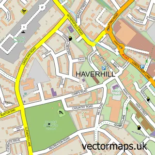
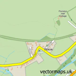
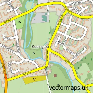
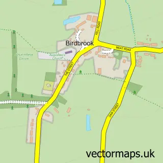
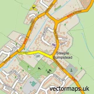
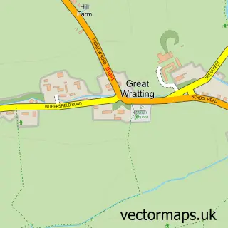
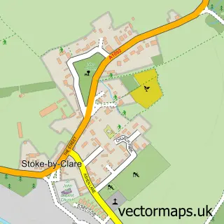
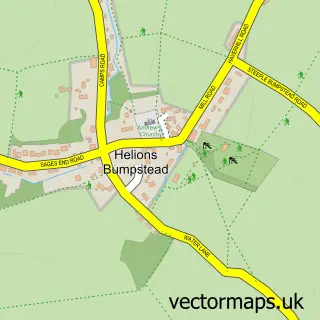
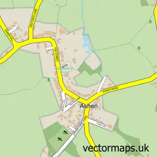
Nearby street map samples around Sturmer

More street maps in Essex
750 metre map area coverage
Boundary, postcode and point of interest information for the 750m x 750m rectangle centred on this sample map.
Boundaries containing map centre
Constituency: Braintree Co Const
County: Essex County
District: Braintree District
Icb: NHS Essex ICB
Parish: Sturmer CP
Police Force: essex
Postcode District: CB9
Postcode Sector: CB9 7
Ward: Bumpstead Ward
Nearby boundaries intersecting sample
No additional intersecting boundaries found.
Postcode coverage
POI category counts
Building Supply Store: 3
Retail: 2
Architect: 1
Auto Customization: 1
Automotive Services And Repair: 1
Education: 1
Health And Medical: 1
It Service And Computer Repair: 1
Landmark And Historical Building: 1
Masonry Concrete: 1
Sample points of interest
- Mitchell P Company
- Optimal Appearance
- Optimal Automotive
- Heidelberg Materials Ready-mixed Concrete
- LD Energy Solutions Ltd
- Paul Mitchell & Company
- Novels Consulting
- Family Foot Health
- August Computers
- Sturmer, Essex, United Kingdom
- Heidelberg Materials Ready-mixed Concrete
- The Red Lion Sturmer
Create a larger editable map of Sturmer
This sample shows only a 750 metre area. To create a larger map of Sturmer, use our map builder to choose your own coverage area, add titles and download editable SVG, PDF and PNG files.
Create a custom map of Sturmer