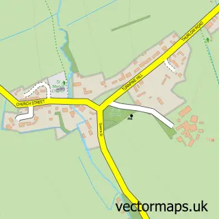
This Kedington street map is a detailed vector street map covering a 750m x 750m area. Select a larger area to create and download your own vector street map of Kedington.
The 750-metre map sample for Kedington covers 365 mapped buildings and approximately 17.2 km of road detail, of which 21 named roads are named. The immediate area includes 1 school and 4 MOT stations within 2 miles. The wider area around Kedington features 1 tourism point of interest and 1 hotel. To create a larger or custom map of Kedington, the map builder lets you define your own coverage area and download editable SVG, PDF and PNG files.
Create a larger editable map of Kedington
Choose any area you need and generate a high-quality vector map instantly. Perfect for print, planning, design, business and personal use.

This Kedington street map in Suffolk is available as downloadable SVG, PDF and PNG map files, or as a printed map for planning, business, display, education, local information and design work. You can also create a larger custom map area using the map selector.
What this Kedington map sample shows
Kedington lies within Kedington Cp parish, part of Clare, Hundon & Kedington ward in the West Suffolk District local authority area. The postcode geography for this area includes the CB postcode area, the CB9 postcode district and the CB9 7 postcode sector. Residents fall under the Nhs Suffolk And North East Essex Integrated Care Board for NHS services.
Local features near Kedington
Within 2 milesAmenities and services in and around Kedington.
Administrative and postcode information for Kedington
The local authority covering Kedington is West Suffolk District, within the county of Suffolk. The settlement lies within Clare, Hundon & Kedington ward and Kedington Cp civil parish. The CB9 postcode district and CB9 7 postcode sector serve the immediate area. NHS provision in the area is delivered through West Suffolk Nhs Foundation Trust.
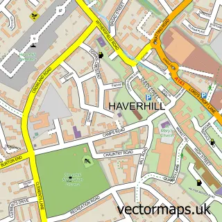
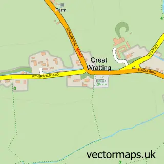
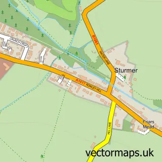
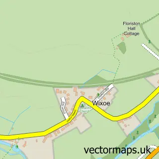
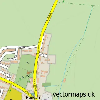
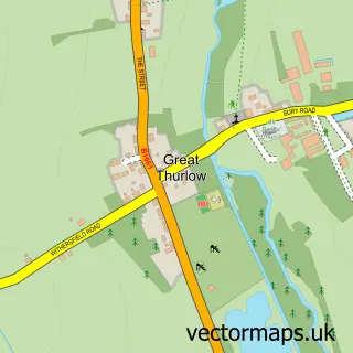
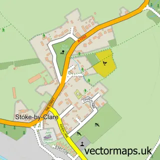
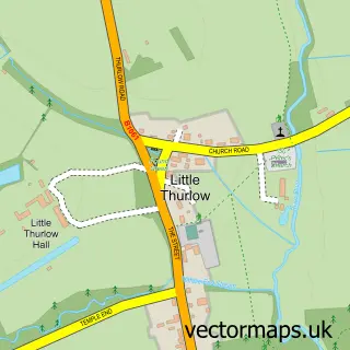
Nearby street map samples around Kedington

More street maps in Suffolk
750 metre map area coverage
Boundary, postcode and point of interest information for the 750m x 750m rectangle centred on this sample map.
Boundaries containing map centre
Constituency: West Suffolk Co Const
County: Suffolk County
District: West Suffolk District
Icb: NHS Essex ICB
Parish: Kedington CP
Police Force: suffolk
Postcode District: CB9
Postcode Sector: CB9 7
Ward: Clare, Hundon & Kedington Ward
Nearby boundaries intersecting sample
No additional intersecting boundaries found.
Postcode coverage
POI category counts
Professional Services: 3
Building Supply Store: 2
Convenience Store: 2
Scout Hall: 2
Acupuncture: 1
Asian Restaurant: 1
Barber: 1
Beauty Salon: 1
Butcher Shop: 1
Child Care And Day Care: 1
Sample points of interest
- Natural Therapy Sport Massage
- Golden Leaves Chinese
- Currans Barbershop
- Happy Nails
- Prokill Suffolk West
- The Green Room
- Kedington Butchers
- Ketton Early Birds Pre School
- Kedington Community Centre
- Read Design and Build
- Nisa Local
- SPAR - Old Village Store Kedington
Create a larger editable map of Kedington
This sample shows only a 750 metre area. To create a larger map of Kedington, use our map builder to choose your own coverage area, add titles and download editable SVG, PDF and PNG files.
Create a custom map of Kedington