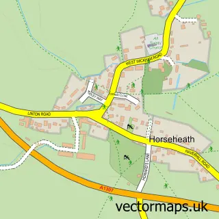
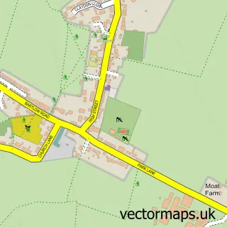
This Withersfield street map is a detailed vector street map covering a 750m x 750m area. Select a larger area to create and download your own vector street map of Withersfield.
The 750-metre map sample for Withersfield covers 98 mapped buildings and approximately 4.0 km of road detail, of which 6 named roads are named. The immediate area includes 2 GP surgeries within 2 miles. To create a larger or custom map of Withersfield, the map builder lets you define your own coverage area and download editable SVG, PDF and PNG files.
Create a larger editable map of Withersfield
Choose any area you need and generate a high-quality vector map instantly. Perfect for print, planning, design, business and personal use.

This Withersfield street map in Suffolk is available as downloadable SVG, PDF and PNG map files, or as a printed map for planning, business, display, education, local information and design work. You can also create a larger custom map area using the map selector.
What this Withersfield map sample shows
Withersfield lies within Withersfield Cp parish, part of Withersfield ward in the West Suffolk District local authority area. The postcode geography for this area includes the CB postcode area, the CB9 postcode district and the CB9 7 postcode sector. Residents fall under the Nhs Suffolk And North East Essex Integrated Care Board for NHS services.
Local features near Withersfield
Within 2 milesAmenities and services in and around Withersfield.
Administrative and postcode information for Withersfield
Withersfield lies within Withersfield Cp parish, part of Withersfield ward in the West Suffolk District local authority area. The postcode geography for this area includes the CB postcode area, the CB9 postcode district and the CB9 7 postcode sector. Residents fall under the Nhs Suffolk And North East Essex Integrated Care Board for NHS services.
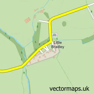
Nearby street map samples around Withersfield

More street maps in Suffolk
750 metre map area coverage
Boundary, postcode and point of interest information for the 750m x 750m rectangle centred on this sample map.
Boundaries containing map centre
Constituency: West Suffolk Co Const
County: Suffolk County
District: West Suffolk District
Icb: NHS Essex ICB
Parish: Withersfield CP
Police Force: suffolk
Postcode District: CB9
Postcode Sector: CB9 7
Ward: Withersfield Ward
Nearby boundaries intersecting sample
No additional intersecting boundaries found.
Postcode coverage
POI category counts
Church Cathedral: 2
Advertising Agency: 1
Anglican Church: 1
Carpenter: 1
Event Planning: 1
Gardener: 1
Horse Riding: 1
Hvac Services: 1
It Service And Computer Repair: 1
Windows Installation: 1
Sample points of interest
- Converse Marketing Ltd
- Withersfield, St Mary the Virgin
- Precision Carpentry & Joinery
- St Mary the Virgin
- Withersfield Church
- Withersfield Village Hall
- Davis Garden Services
- Withersfield Hall School of Equitation
- ADM Ventilation
- Smartex
- Fit47
Create a larger editable map of Withersfield
This sample shows only a 750 metre area. To create a larger map of Withersfield, use our map builder to choose your own coverage area, add titles and download editable SVG, PDF and PNG files.
Create a custom map of Withersfield