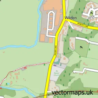
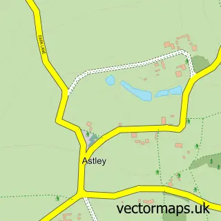
This Stourport-on-Severn street map is a detailed vector street map covering a 750m x 750m area. Select a larger area to create and download your own vector street map of Stourport-on-Severn.
The 750-metre map sample for Stourport-on-Severn covers 370 mapped buildings and approximately 52.8 km of road detail, of which 42 named roads are named. The immediate area includes 1 school, 1 GP surgery within 2 miles, 16 pubs and 13 MOT stations within 2 miles. The wider area around Stourport-on-Severn features 7 tourism points of interest, 32 food and drink venues and 4 hotels. To create a larger or custom map of Stourport-on-Severn, the map builder lets you define your own coverage area and download editable SVG, PDF and PNG files.
Create a larger editable map of Stourport-on-Severn
Choose any area you need and generate a high-quality vector map instantly. Perfect for print, planning, design, business and personal use.

This Stourport-on-Severn street map in Worcestershire is available as downloadable SVG, PDF and PNG map files, or as a printed map for planning, business, display, education, local information and design work. You can also create a larger custom map area using the map selector.
What this Stourport-on-Severn map sample shows
Stourport-on-Severn lies within Stourport-On-Severn Cp parish, part of Mitton ward in the Wyre Forest District local authority area. The postcode geography for this area includes the DY postcode area, the DY13 postcode district and the DY13 9 postcode sector. Residents fall under the Nhs Herefordshire And Worcestershire Integrated Care Board for NHS services.
Local features near Stourport-on-Severn
Within 2 milesAmenities and services in and around Stourport-on-Severn.
Administrative and postcode information for Stourport-on-Severn
Stourport-on-Severn lies within Stourport-On-Severn Cp parish, part of Mitton ward in the Wyre Forest District local authority area. The postcode geography for this area includes the DY postcode area, the DY13 postcode district and the DY13 9 postcode sector. Residents fall under the Nhs Herefordshire And Worcestershire Integrated Care Board for NHS services.
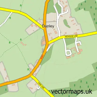
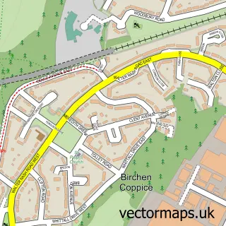
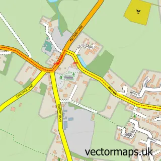
Nearby street map samples around Stourport-on-Severn


More street maps in Worcestershire
750 metre map area coverage
Boundary, postcode and point of interest information for the 750m x 750m rectangle centred on this sample map.
Boundaries containing map centre
Constituency: Wyre Forest Co Const
County: Worcestershire County
District: Wyre Forest District
Icb: NHS Herefordshire and Worcestershire ICB
Parish: Stourport-on-Severn CP
Police Force: west mercia
Postcode District: DY13
Postcode Sector: DY13 8
Ward: Areley Kings & Riverside Ward
Nearby boundaries intersecting sample
Postcode Sector: DY13 0, DY13 9
Ward: Mitton Ward
Postcode coverage
POI category counts
Pub: 16
Beauty Salon: 11
Financial Service: 9
Barber: 7
Funeral Services And Cemeteries: 7
Indian Restaurant: 7
Restaurant: 7
Retail: 7
Charity Organization: 6
Flowers And Gifts Shop: 6
Sample points of interest
- Bradley and Associates
- Bridgepoint Accountants
- M.J. Riley
- Midland Accountancy Group
- Rilis Ltd
- The Acupuncture Practice, Stourport
- Advertising Matters
- MJC Copiers
- Stourport Playland
- RSPCA
- British Red Cross
- Caldicott's
Create a larger editable map of Stourport-on-Severn
This sample shows only a 750 metre area. To create a larger map of Stourport-on-Severn, use our map builder to choose your own coverage area, add titles and download editable SVG, PDF and PNG files.
Create a custom map of Stourport-on-Severn