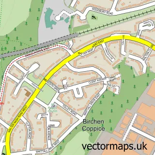
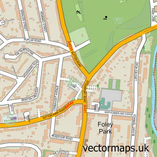
This Wilden street map is a detailed vector street map covering a 750m x 750m area. Select a larger area to create and download your own vector street map of Wilden.
The 750-metre map sample for Wilden covers 97 mapped buildings and approximately 16.1 km of road detail, of which 6 named roads are named. The immediate area includes 1 school, 1 GP surgery within 2 miles and 21 MOT stations within 2 miles. The wider area around Wilden features 1 food and drink venue. To create a larger or custom map of Wilden, the map builder lets you define your own coverage area and download editable SVG, PDF and PNG files.
Create a larger editable map of Wilden
Choose any area you need and generate a high-quality vector map instantly. Perfect for print, planning, design, business and personal use.

This Wilden street map in Worcestershire is available as downloadable SVG, PDF and PNG map files, or as a printed map for planning, business, display, education, local information and design work. You can also create a larger custom map area using the map selector.
What this Wilden map sample shows
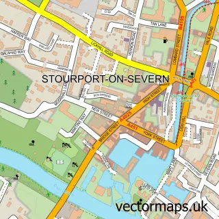
Wilden lies within Stourport-On-Severn Cp parish, part of Mitton ward in the Wyre Forest District local authority area. The postcode geography for this area includes the DY postcode area, the DY13 postcode district and the DY13 9 postcode sector. Residents fall under the Nhs Herefordshire And Worcestershire Integrated Care Board for NHS services.
Local features near Wilden
Within 2 milesAmenities and services in and around Wilden.
Administrative and postcode information for Wilden
Wilden lies within Stourport-On-Severn Cp parish, part of Mitton ward in the Wyre Forest District local authority area. The postcode geography for this area includes the DY postcode area, the DY13 postcode district and the DY13 9 postcode sector. Residents fall under the Nhs Herefordshire And Worcestershire Integrated Care Board for NHS services.
Nearby street map samples around Wilden


More street maps in Worcestershire
750 metre map area coverage
Boundary, postcode and point of interest information for the 750m x 750m rectangle centred on this sample map.
Boundaries containing map centre
Constituency: Wyre Forest Co Const
County: Worcestershire County
District: Wyre Forest District
Icb: NHS Herefordshire and Worcestershire ICB
Parish: Stourport-on-Severn CP
Police Force: west mercia
Postcode District: DY13
Postcode Sector: DY13 9
Ward: Mitton Ward
Nearby boundaries intersecting sample
No additional intersecting boundaries found.
Postcode coverage
POI category counts
Anglican Church: 2
Automotive Parts And Accessories: 2
Automotive Repair: 2
Business Manufacturing And Supply: 2
Furniture Store: 2
Sports Club And League: 2
Automotive Services And Repair: 1
Car Dealer: 1
Coffee Shop: 1
Electrician: 1
Sample points of interest
- All Saints
- Church of All Saints
- Boot Buddy Ltd
- Midlands Sports & Classics
- ChipsAway Kidderminster Car Care Centre
- J&S Automotive
- Classic sports cars
- Francis Machine Solutions
- Polyplas Extrusions Ltd
- Central England Horseboxes
- Harveys Office Coffee
- Severn Electric Co
Create a larger editable map of Wilden
This sample shows only a 750 metre area. To create a larger map of Wilden, use our map builder to choose your own coverage area, add titles and download editable SVG, PDF and PNG files.
Create a custom map of Wilden