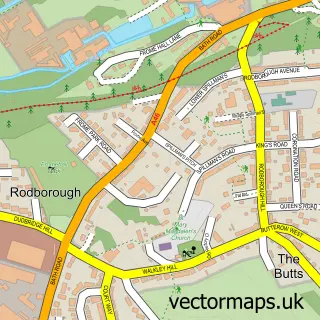
This Stroud street map is a detailed vector street map covering a 750m x 750m area. Select a larger area to create and download your own vector street map of Stroud.
The 750-metre map sample for Stroud covers 234 mapped buildings and approximately 55.0 km of road detail, of which 43 named roads are named. The immediate area includes 3 schools, 1 railway station, 3 GP surgeries and 8 pubs among other local services. The wider area around Stroud features 6 tourism points of interest, 42 food and drink venues and 4 hotels. To create a larger or custom map of Stroud, the map builder lets you define your own coverage area and download editable SVG, PDF and PNG files.
Create a larger editable map of Stroud
Choose any area you need and generate a high-quality vector map instantly. Perfect for print, planning, design, business and personal use.

This Stroud street map in Gloucestershire is available as downloadable SVG, PDF and PNG map files, or as a printed map for planning, business, display, education, local information and design work. You can also create a larger custom map area using the map selector.
What this Stroud map sample shows
Stroud lies within Stroud Cp parish, part of Stroud Central ward in the Stroud District local authority area. The postcode geography for this area includes the GL postcode area, the GL5 postcode district and the GL5 1 postcode sector. Residents fall under the Nhs Gloucestershire Integrated Care Board for NHS services.
Local features near Stroud
Within 2 milesAmenities and services in and around Stroud.
Administrative and postcode information for Stroud
Stroud lies within Stroud Cp parish, part of Stroud Central ward in the Stroud District local authority area. The postcode geography for this area includes the GL postcode area, the GL5 postcode district and the GL5 1 postcode sector. Residents fall under the Nhs Gloucestershire Integrated Care Board for NHS services.
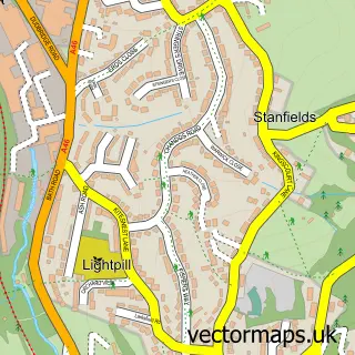
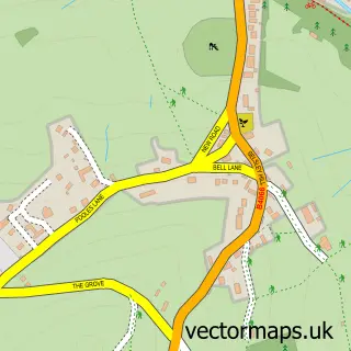
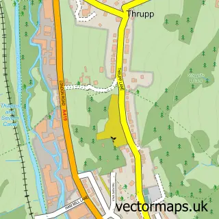
Nearby street map samples around Stroud

More street maps in Gloucestershire
750 metre map area coverage
Boundary, postcode and point of interest information for the 750m x 750m rectangle centred on this sample map.
Boundaries containing map centre
Constituency: Stroud Co Const
County: Gloucestershire County
District: Stroud District
Icb: NHS Gloucestershire ICB
Parish: Stroud CP
Police Force: gloucestershire
Postcode District: GL5
Postcode Sector: GL5 1
Ward: Stroud Central Ward
Nearby boundaries intersecting sample
Parish: Rodborough CP
Postcode Sector: GL5 2, GL5 3, GL5 4
Ward: Rodborough Ward, Stroud Uplands Ward, Stroud Valley Ward
Postcode coverage
POI category counts
Cafe: 18
Hair Salon: 16
Clothing Store: 15
Naturopathic Holistic: 15
Beauty Salon: 13
Professional Services: 12
Coffee Shop: 11
Art Gallery: 10
Dentist: 10
Fast Food Restaurant: 10
Sample points of interest
- David Richardson & Co.
- TaxAssist Accountants
- Germaine Newman Acupuncture
- Connexions
- Cantillion King Advertising
- Major Media Sales Ltd
- The Creative Consortium
- The Major Agency
- Winner Ads
- The Marah Trust
- St Laurence: Stroud Centre for Peace and the Arts
- Clive Rogers Oriental Rugs
Create a larger editable map of Stroud
This sample shows only a 750 metre area. To create a larger map of Stroud, use our map builder to choose your own coverage area, add titles and download editable SVG, PDF and PNG files.
Create a custom map of Stroud