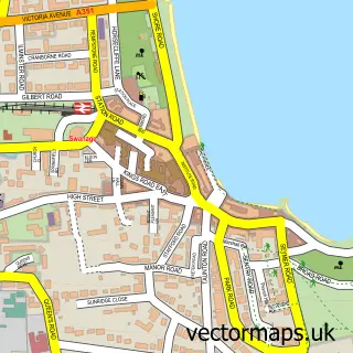
This Studland street map is a detailed vector street map covering a 750m x 750m area. Select a larger area to create and download your own vector street map of Studland.
The 750-metre map sample for Studland covers 158 mapped buildings and approximately 9.7 km of road detail, of which 11 named roads are named. The immediate area includes 3 pubs. The wider area around Studland features 3 food and drink venues, 4 hotels and 1 campsite within 2 miles. To create a larger or custom map of Studland, the map builder lets you define your own coverage area and download editable SVG, PDF and PNG files.
Create a larger editable map of Studland
Choose any area you need and generate a high-quality vector map instantly. Perfect for print, planning, design, business and personal use.

This Studland street map in Dorset is available as downloadable SVG, PDF and PNG map files, or as a printed map for planning, business, display, education, local information and design work. You can also create a larger custom map area using the map selector.
What this Studland map sample shows
Studland lies within Studland Cp parish, part of South East Purbeck ward in the Dorset local authority area. The postcode geography for this area includes the BH postcode area, the BH19 postcode district and the BH19 3 postcode sector. Residents fall under the Nhs Dorset Integrated Care Board for NHS services.
Local features near Studland
Within 2 milesAmenities and services in and around Studland.
Administrative and postcode information for Studland
Studland lies within Studland Cp parish, part of South East Purbeck ward in the Dorset local authority area. The postcode geography for this area includes the BH postcode area, the BH19 postcode district and the BH19 3 postcode sector. Residents fall under the Nhs Dorset Integrated Care Board for NHS services.
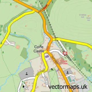
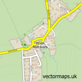
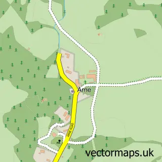
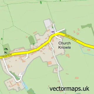
Nearby street map samples around Studland


More street maps in Dorset
750 metre map area coverage
Boundary, postcode and point of interest information for the 750m x 750m rectangle centred on this sample map.
Boundaries containing map centre
Constituency: South Dorset Co Const
District: Dorset
Icb: NHS Dorset ICB
Parish: Studland CP
Police Force: dorset
Postcode District: BH19
Postcode Sector: BH19 3
Ward: South East Purbeck Ward
Nearby boundaries intersecting sample
No additional intersecting boundaries found.
Postcode coverage
POI category counts
Hotel: 4
Pub: 3
Church Cathedral: 2
Active Life: 1
Anglican Church: 1
Arts And Entertainment: 1
Beach: 1
Bed And Breakfast: 1
Brewery: 1
British Restaurant: 1
Sample points of interest
- Studland Stables
- Studland: St Nicholas
- Studland Hall
- Fort Henry, Studland
- The Old School House - Studland
- Isle of Purbeck Brewery
- The Pig, Studland
- Church Of St Nicholas
- St Nicholas Church
- Studland Stores
- Willow Cottage
- UK Learning Services
Create a larger editable map of Studland
This sample shows only a 750 metre area. To create a larger map of Studland, use our map builder to choose your own coverage area, add titles and download editable SVG, PDF and PNG files.
Create a custom map of Studland