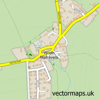
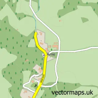
This Swanage street map is a detailed vector street map covering a 750m x 750m area. Select a larger area to create and download your own vector street map of Swanage.
The 750-metre map sample for Swanage covers 268 mapped buildings and approximately 16.2 km of road detail, of which 43 named roads are named. The immediate area includes 1 school, 1 railway station, 1 GP surgery and 9 pubs among other local services. The wider area around Swanage features 14 tourism points of interest, 36 food and drink venues and 11 hotels. To create a larger or custom map of Swanage, the map builder lets you define your own coverage area and download editable SVG, PDF and PNG files.
Create a larger editable map of Swanage
Choose any area you need and generate a high-quality vector map instantly. Perfect for print, planning, design, business and personal use.

This Swanage street map in Dorset is available as downloadable SVG, PDF and PNG map files, or as a printed map for planning, business, display, education, local information and design work. You can also create a larger custom map area using the map selector.
What this Swanage map sample shows
Swanage lies within Swanage Cp parish, part of Swanage ward in the Dorset local authority area. The postcode geography for this area includes the BH postcode area, the BH19 postcode district and the BH19 2 postcode sector. Residents fall under the Nhs Dorset Integrated Care Board for NHS services.
Local features near Swanage
Within 2 milesAmenities and services in and around Swanage.
Administrative and postcode information for Swanage
The local authority covering Swanage is Dorset, within the county of Dorset. The settlement lies within Swanage ward and Swanage Cp civil parish. The BH19 postcode district and BH19 2 postcode sector serve the immediate area. NHS provision in the area is delivered through University Hospitals Dorset Nhs Foundation Trust.
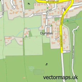
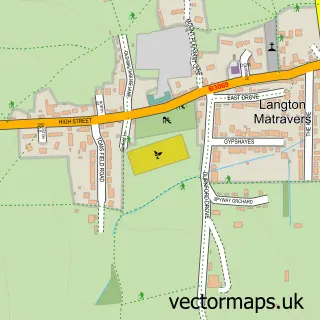
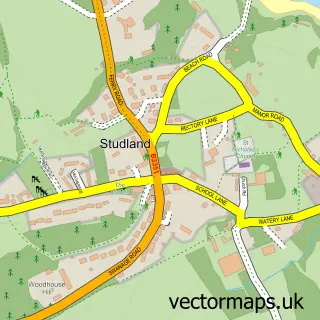
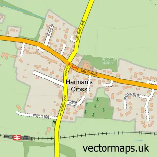
Nearby street map samples around Swanage

More street maps in Dorset
750 metre map area coverage
Boundary, postcode and point of interest information for the 750m x 750m rectangle centred on this sample map.
Boundaries containing map centre
Constituency: South Dorset Co Const
District: Dorset
Icb: NHS Dorset ICB
Parish: Swanage CP
Police Force: dorset
Postcode District: BH19
Postcode Sector: BH19 1
Ward: Swanage Ward
Nearby boundaries intersecting sample
Postcode Sector: BH19 2
Postcode coverage
POI category counts
Flowers And Gifts Shop: 17
Cafe: 13
Bed And Breakfast: 12
Hotel: 11
Restaurant: 10
Antique Store: 9
Pub: 9
Art Gallery: 8
Clothing Store: 8
Bar: 7
Sample points of interest
- Pier Head Watersports
- Swanage Ambulance Station
- Jurassic Golf
- Santa Fe Fun Park
- Santa Fe Park
- Swanage children's centre
- Antiques at 61 - Swanage
- Bishops of Swanage
- Eklektika
- Old Harrys Locker
- PowerHouse Antiques and Collectables
- Smith's Vintage
Create a larger editable map of Swanage
This sample shows only a 750 metre area. To create a larger map of Swanage, use our map builder to choose your own coverage area, add titles and download editable SVG, PDF and PNG files.
Create a custom map of Swanage