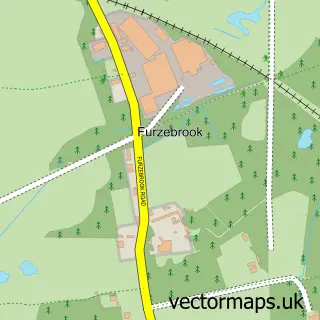
This Harman's Cross street map is a detailed vector street map covering a 750m x 750m area. Select a larger area to create and download your own vector street map of Harman's Cross.
The 750-metre map sample for Harman's Cross covers 183 mapped buildings and approximately 6.2 km of road detail, of which 8 named roads are named. The immediate area includes 1 railway station, 1 GP surgery within 2 miles and 1 MOT station, with 2 within 2 miles. The wider area around Harman's Cross features 4 tourism points of interest, 3 hotels and 7 campsites within 2 miles. To create a larger or custom map of Harman's Cross, the map builder lets you define your own coverage area and download editable SVG, PDF and PNG files.
Create a larger editable map of Harman's Cross
Choose any area you need and generate a high-quality vector map instantly. Perfect for print, planning, design, business and personal use.

This Harman's Cross street map in Dorset is available as downloadable SVG, PDF and PNG map files, or as a printed map for planning, business, display, education, local information and design work. You can also create a larger custom map area using the map selector.
What this Harman's Cross map sample shows
Harman's Cross lies within Worth Matravers Cp parish, part of South East Purbeck ward in the Dorset local authority area. The postcode geography for this area includes the BH postcode area, the BH19 postcode district and the BH19 3 postcode sector. Residents fall under the Nhs Dorset Integrated Care Board for NHS services.
Local features near Harman's Cross
Within 2 milesAmenities and services in and around Harman's Cross.
Administrative and postcode information for Harman's Cross
The local authority covering Harman's Cross is Dorset, within the county of Dorset. The settlement lies within South East Purbeck ward and Worth Matravers Cp civil parish. The BH19 postcode district and BH19 3 postcode sector serve the immediate area. NHS provision in the area is delivered through University Hospitals Dorset Nhs Foundation Trust.
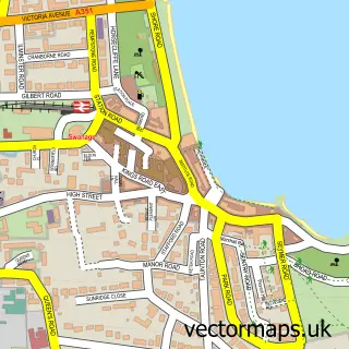
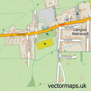
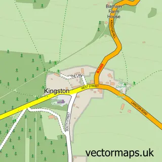
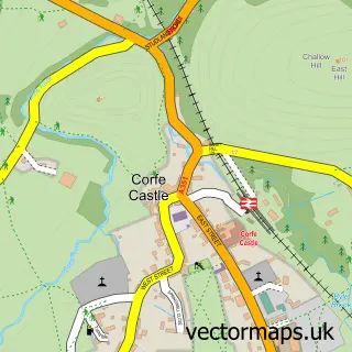
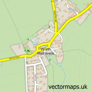
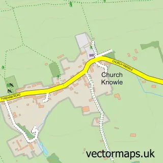
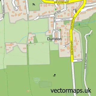
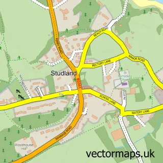
Nearby street map samples around Harman's Cross

More street maps in Dorset
750 metre map area coverage
Boundary, postcode and point of interest information for the 750m x 750m rectangle centred on this sample map.
Boundaries containing map centre
Constituency: South Dorset Co Const
District: Dorset
Icb: NHS Dorset ICB
Parish: Worth Matravers CP
Police Force: dorset
Postcode District: BH19
Postcode Sector: BH19 3
Ward: South East Purbeck Ward
Nearby boundaries intersecting sample
Parish: Corfe Castle CP
Postcode District: BH20
Postcode Sector: BH20 5
Postcode coverage
POI category counts
Hotel: 3
Landmark And Historical Building: 3
Train Station: 3
Bed And Breakfast: 2
Convenience Store: 2
Accommodation: 1
Automotive Repair: 1
Campground: 1
Construction Services: 1
Contractor: 1
Sample points of interest
- Westwood Farm
- Foleys Garage
- April Cottage & Lapland Lodge B & B
- April Cottage and Lapland Lodge
- The Railway Campsite
- Pearson Builders Dorset
- W.F Snook & Son
- SPAR
- SPAR Harmans Cross
- Harmans Cross Village Hall
- Murco
- April Cottage B & B
Create a larger editable map of Harman's Cross
This sample shows only a 750 metre area. To create a larger map of Harman's Cross, use our map builder to choose your own coverage area, add titles and download editable SVG, PDF and PNG files.
Create a custom map of Harman's Cross