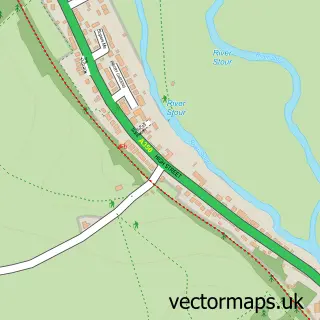
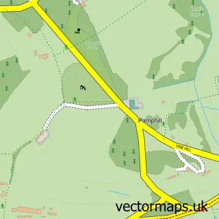
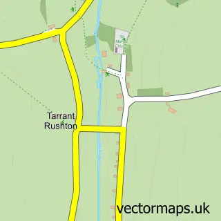
This Sturminster Marshall street map is a detailed vector street map covering a 750m x 750m area. Select a larger area to create and download your own vector street map of Sturminster Marshall.
The 750-metre map sample for Sturminster Marshall covers 375 mapped buildings and approximately 13.6 km of road detail, of which 22 named roads are named. The immediate area includes 1 school and 1 MOT station within 2 miles. The wider area around Sturminster Marshall features 1 tourism point of interest, 3 food and drink venues and 1 hotel. To create a larger or custom map of Sturminster Marshall, the map builder lets you define your own coverage area and download editable SVG, PDF and PNG files.
Create a larger editable map of Sturminster Marshall
Choose any area you need and generate a high-quality vector map instantly. Perfect for print, planning, design, business and personal use.

This Sturminster Marshall street map in Dorset is available as downloadable SVG, PDF and PNG map files, or as a printed map for planning, business, display, education, local information and design work. You can also create a larger custom map area using the map selector.
What this Sturminster Marshall map sample shows
Sturminster Marshall lies within Sturminster Marshall Cp parish, part of Stour & Allen Vale ward in the Dorset local authority area. The postcode geography for this area includes the BH postcode area, the BH21 postcode district and the BH21 4 postcode sector. Residents fall under the Nhs Dorset Integrated Care Board for NHS services.
Local features near Sturminster Marshall
Within 2 milesAmenities and services in and around Sturminster Marshall.
Administrative and postcode information for Sturminster Marshall
Sturminster Marshall lies within Sturminster Marshall Cp parish, part of Stour & Allen Vale ward in the Dorset local authority area. The postcode geography for this area includes the BH postcode area, the BH21 postcode district and the BH21 4 postcode sector. Residents fall under the Nhs Dorset Integrated Care Board for NHS services.
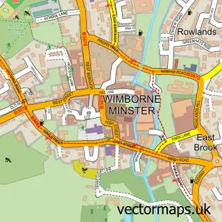
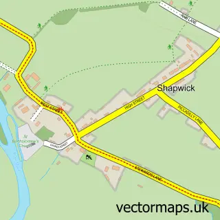
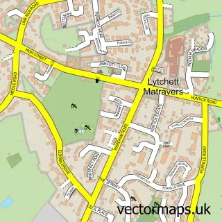
Nearby street map samples around Sturminster Marshall

More street maps in Dorset
750 metre map area coverage
Boundary, postcode and point of interest information for the 750m x 750m rectangle centred on this sample map.
Boundaries containing map centre
Constituency: Mid Dorset and North Poole Co Const
District: Dorset
Icb: NHS Dorset ICB
Parish: Sturminster Marshall CP
Police Force: dorset
Postcode District: BH21
Postcode Sector: BH21 4
Ward: Stour & Allen Vale Ward
Nearby boundaries intersecting sample
No additional intersecting boundaries found.
Postcode coverage
POI category counts
Building Supply Store: 8
Contractor: 5
Convenience Store: 5
Metal Supplier: 4
Engineering Services: 3
Furniture Store: 3
Windows Installation: 3
Electrician: 2
Metal Fabricator: 2
Retail: 2
Sample points of interest
- Cat Protection League
- Roger Wilkinson Architectural & Building Services
- Roger Wilkinson Architectural & Building Services
- Tina Peacock Art
- The Churchill Arms
- Solar Solutions
- Dorset Jaguar Centre
- Beautyfly - Laura Fooks
- Broadstone Masonry Services
- Dorset Plant Pixie
- Inspectrixx UK
- Jonathon Sainsbury
Create a larger editable map of Sturminster Marshall
This sample shows only a 750 metre area. To create a larger map of Sturminster Marshall, use our map builder to choose your own coverage area, add titles and download editable SVG, PDF and PNG files.
Create a custom map of Sturminster Marshall